2.5 km away
Hayduke Trail: Horseshoe Mesa to North Rim
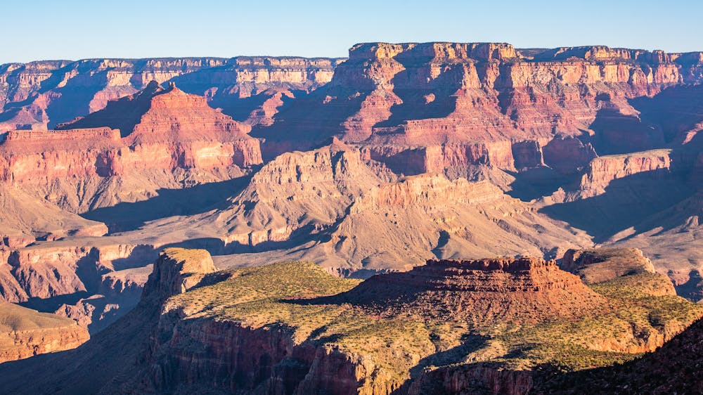
Wander many miles through the Grand Canyon's middle tier, then ascend a long side canyon on one of the park's most spectacular trails.
Difficult Hiking
- Distance
- 59 km
- Ascent
- 3 km
- Descent
- 2 km
A spectacular route for experienced desert hikers.
Hiking Severe

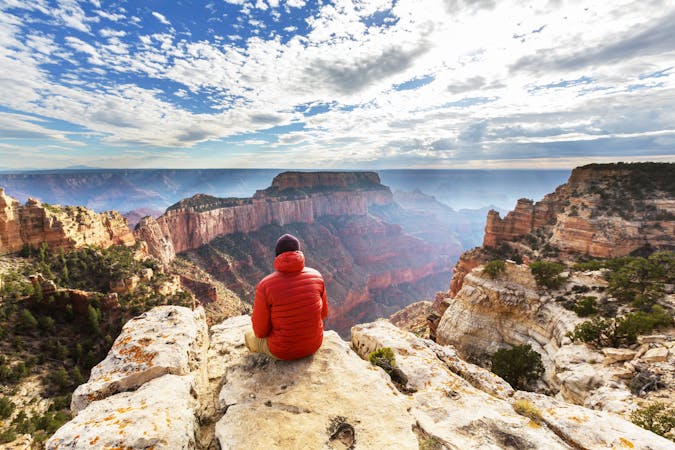
Before considering whether the 6.2-mile Grandview hike is right for you, know this: “Over 250 people are rescued from the canyon each year. The difference between a great adventure in Grand Canyon and a trip to the hospital (or worse) is up to YOU.”
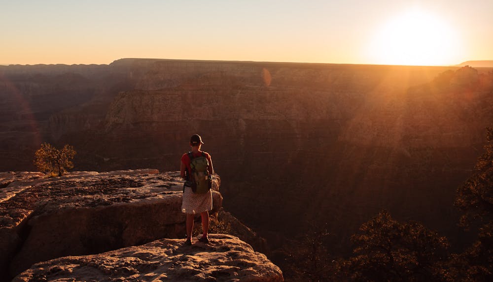
This foreboding quote comes from the Grand Canyon website and is reiterated on dramatic signs throughout the park. Know your fitness and experience before embarking on any Grand Canyon adventure. In addition, choosing the appropriate time of year can make all the difference. Another important factor to consider is that canyon hikes start with long descents, which means that the return trip is always a long ascent.
There is NO water on this route; that means carrying all that will be needed, which is a LOT. Even in October, it gets extremely hot in the canyon, with temps in the high 90s at the bottom. Even if you start early and don't go far, it will still be HOT in the sun for the ascent. October is a wonderful month for the Grandview Trail, but it is vital to start early... like before-sunrise-early!
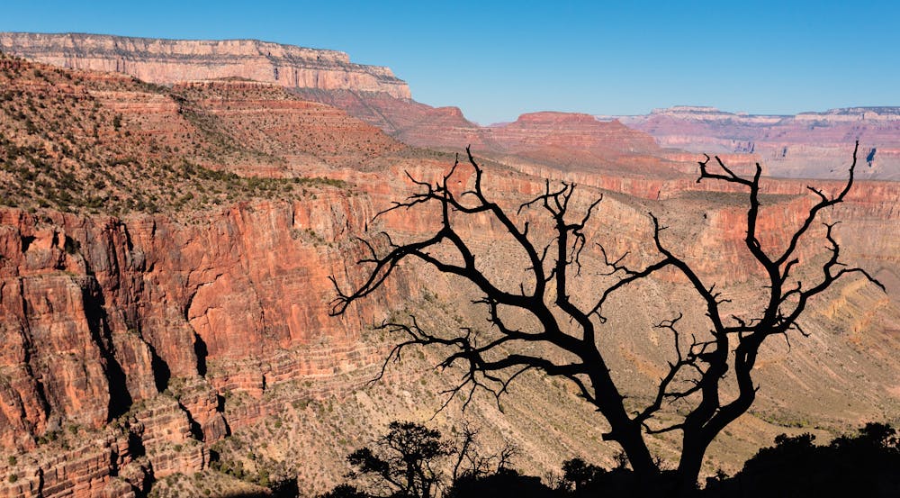
As Scott Thybony explains in his excellent guidebook, "Official Guide to Hiking Grand Canyon: Day Hiking and Backpacking South and North Rims," the Grandview Trail is a "Threshold Trail," which is the category between the well maintained, wide "Corridor Trails" and the very faint, almost non-existent "Primitive Trails." As such, it is much narrower than the well-known Bright Angel and South Kaibab Trails.
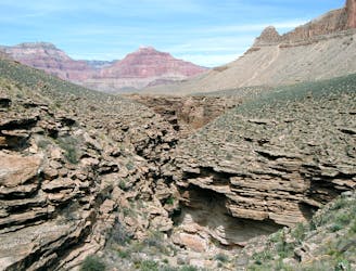
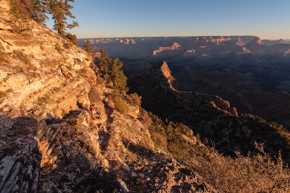
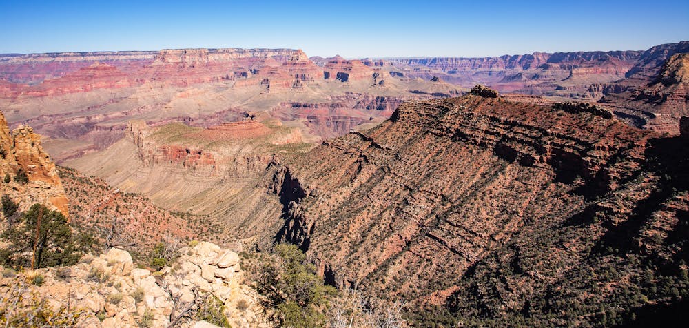
The Grandview Trail is an absolutely gorgeous 3.1-mile, 2,500-foot descent to Horseshoe Mesa. As a threshold trail, the first part of the descent is way too narrow, steep and gnarly for most casual tourists, so experienced, fit hikers will have the trek mostly to themselves. As a threshold trail, there is little maintenance done, so in some places where the trail is covered in rockfall, hikers will have to scramble to get to the other side.
This out-and-back hike may be only 6.2 miles long, but shouldn't be underestimated. For photographers, frequent stops for spectacular shots will be required and negotiating the steep, narrow trail takes extra care and time.
The actual route is easy to follow, but there are intersections along the way, so pay attention. Once at Horseshoe Mesa it is well worth meandering about before heading back. Explore the remains of the 1893 mining camp's cookhouse and look for the agave plants (aka Century Plants). These plants grow slowly for 25 years, then, all-of-a-sudden one spring, a stalk shoots up almost a foot in 24 hours until getting to 15' high. After exploring, try to find a tiny spot of shade with no cactus to eat lunch before starting the return ascent.
Sources: https://www.nps.gov/grca/planyourvisit/day-hiking.htm#CPJUMP1910241 https://www.nps.gov/grca/planyourvisit/upload/GrandviewTrail.pdf
Severe
Hiking challenging trails where simple scrambling, with the occasional use of the hands, is a distinct possibility. The trails are often filled with all manner of obstacles both small and large, and the hills are very steep. Obstacles and challenges are often unexpected and can be unpredictable.

The trail contains some obstacles such as outcroppings and rock which could cause injury.

Little chance of being seen or helped in case of an accident.
2.5 km away
Wander many miles through the Grand Canyon's middle tier, then ascend a long side canyon on one of the park's most spectacular trails.
Difficult Hiking
14 routes · Hiking

14 routes · Hiking