2 m away
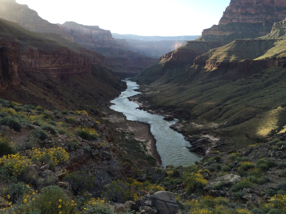
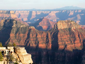
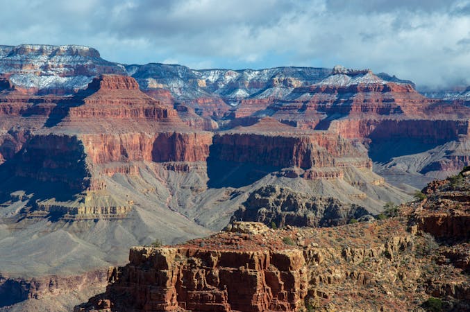
North Kaibab Trail
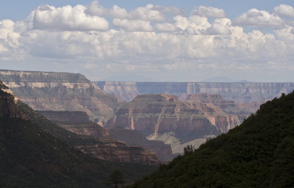
The main route from Grand Canyon's North Rim down to the Colorado River, and one of the most beautiful trails in America.
Difficult Hiking
- Distance
- 23 km
- Ascent
- 251 m
- Descent
- 2 km
Journey back to the bottom of the Grand Canyon and out again, bushwhacking and canyoneering much of the way.
Hiking Severe

If you’re hiking the Hayduke westbound, by this point you’ve dealt with all manner of obstacles from sheer cliffs to thorny thickets. But all those difficulties and more are far from over—as promised by lucky Section 13 of the Hayduke Trail.
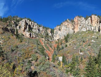
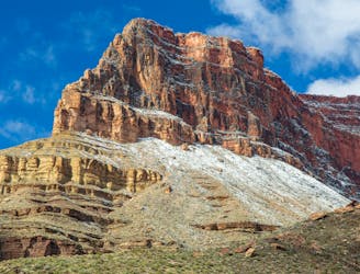
It starts out easy, following dirt roads through conifer forest of the North Rim, with one or two glimpses into the canyon. This section is shady but mostly dry except after recent precipitation. Things get more interesting at Swamp Point, where switchbacks descend to the Muav Saddle with its historic cabin. There is a spring nearby if you need water.
Next comes Saddle Canyon, which is reputed as one of the most, if not the most, intense mini-odysseys on the Hayduke. It starts with slow and prickly bushwhacking in the upper half, then turns into a downclimbing and pool-plunging adventure. In this treacherous lower half, there are many dryfalls (or possibly waterfalls), potholes, and cliff bands to navigate, including one 150-foot pour off with an especially tricky workaround.
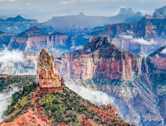
It’s possible to bypass Saddle Canyon along the North Rim and come down Bill Hall Trail, but doing so skips the wonders of Tapeats Creek and Thunder River. After Saddle Canyon hits Tapeats Canyon, the going gets much easier thanks to a good trail to follow. The canyon walls grow larger overhead, cottonwood trees spring up, and eventually flowing water appears in the creek. Soon you’ll join the trail to Thunder River, where rafters hike up from the Colorado.
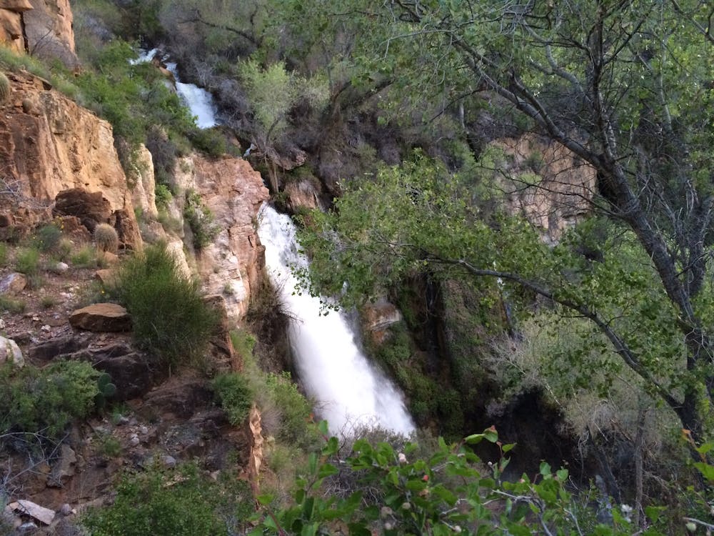
Pause during the ascent along Thunder River to see waterfalls gushing from a hole in the cliff, then continue up to the flats of Surprised Valley. The next drainage flows with cascades from another voluminous spring. A brief side trip into the Deer Creek narrows is well worth it for the water-worn geology, hand-print pictographs, and a break in the shade.
Next comes a long, hot slog along the Colorado River. There is no good trail, just a network of game trails among sandstone ledges and boulder hopping near river level. Some Haydukers manage to hitch a ride with rafters to skip this section, which isn’t usually hard because they all stop at Deer Creek Falls.
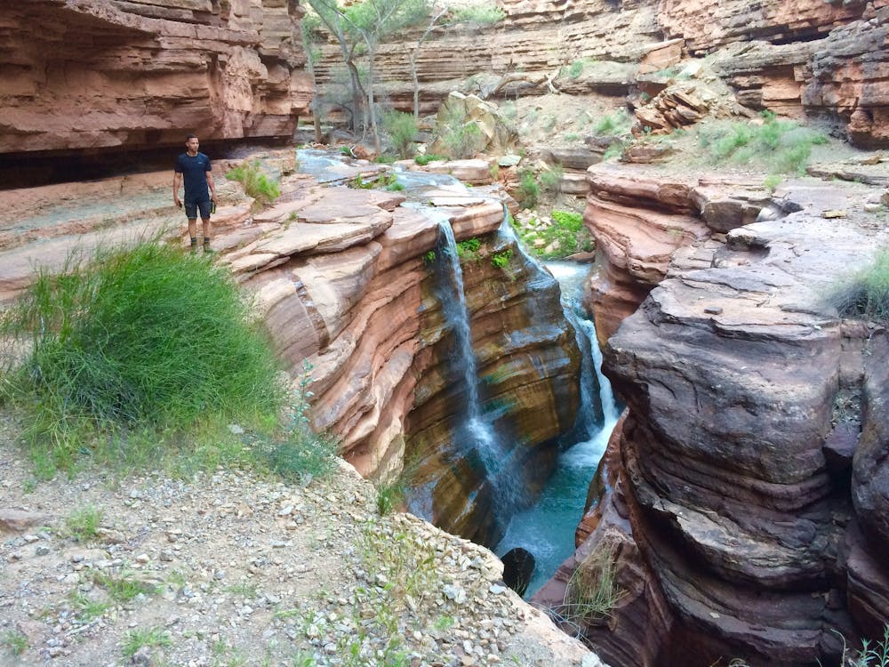
The lowest point on the Hayduke Trail, at 1800 feet, is the mouth of Kanab Creek. The journey up Kanab is no walk in the park, but will feel immensely refreshing after the preceding trials. You’ll tread in and out of flowing water, along stone patios, around and over huge boulders, You’ll witness enchanting hanging gardens, reflecting pools, and ethereal waterfalls—all within a grand corridor of red and pink limestone.
Enjoy the paradise while it lasts, because higher in the canyon the water disappears and widening walls let the sun beat down. If you can’t hunt down hidden tanks or potholes, it’s many miles farther to water in stock wells on the Arizona Strip. Hack Canyon is the exit from Kanab Creek onto the Strip. It’s a cliff-lined valley with mottled red and yellow sides of slumped sandstones. A combination of trail and two-track leads all the way up this canyon to a BLM road, and the end of this daunting section.
Sources: http://www.hayduketrail.org/TheRoute.html http://www.hayduketrail.org/Updates.html https://www.little-package.com/blog/2017/11/hayduke-trail-tips https://marmotsadventures.com/2017/05/18/moderately-flesh-shredding-brush/ https://marmotsadventures.com/2017/05/20/marmot-on-a-hot-rock-hop/ https://marmotsadventures.com/2017/05/21/tracking-water/ https://caltopo.com/m/5J0S
Severe
Hiking challenging trails where simple scrambling, with the occasional use of the hands, is a distinct possibility. The trails are often filled with all manner of obstacles both small and large, and the hills are very steep. Obstacles and challenges are often unexpected and can be unpredictable.

Some trail sections have exposed ledges or steep ascents/descents where falling could cause serious injury.

In the high mountains or remote conditions, all individuals must be completely autonomous in every situation.
2 m away
The main route from Grand Canyon's North Rim down to the Colorado River, and one of the most beautiful trails in America.
Difficult Hiking
108 m away
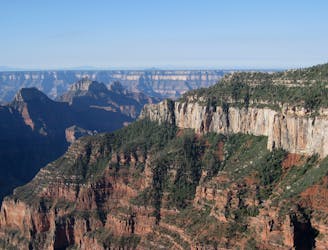
Rolling hills and colorful forest lead to an airy overlook on the canyon rim.
Moderate Hiking
558 m away
Quiet stroll along the canyon rim near North Rim Campground and Grand Canyon Lodge.
Easy Hiking
1 km away
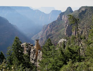
Lesser-traveled trail with canyon views, big trees, and a chance at spotting wildlife.
Moderate Hiking
2.2 km away
A quick trip to one of the canyon's most spectacular viewpoints.
Easy Hiking
5.9 km away
Another beautiful day on the North Kaibab Trail with a fantastic side trip to Ribbon Falls.
Moderate Hiking
9.9 km away
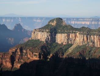
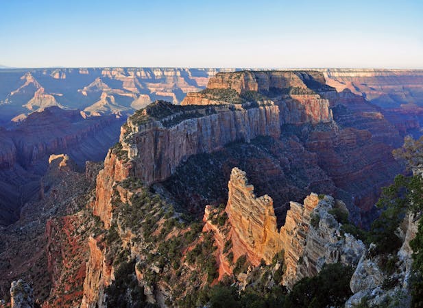
Find solitary canyon views on this trail near the famous Point Imperial.
Easy Hiking

23 routes · Mountain Biking · Hiking
14 routes · Hiking
8 routes · Hiking
9 routes · Hiking

14 routes · Hiking