2 m away
Hayduke Trail: North Rim to Hack Canyon
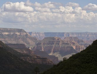
Journey back to the bottom of the Grand Canyon and out again, bushwhacking and canyoneering much of the way.
Severe Hiking
- Distance
- 139 km
- Ascent
- 2.9 km
- Descent
- 3.9 km
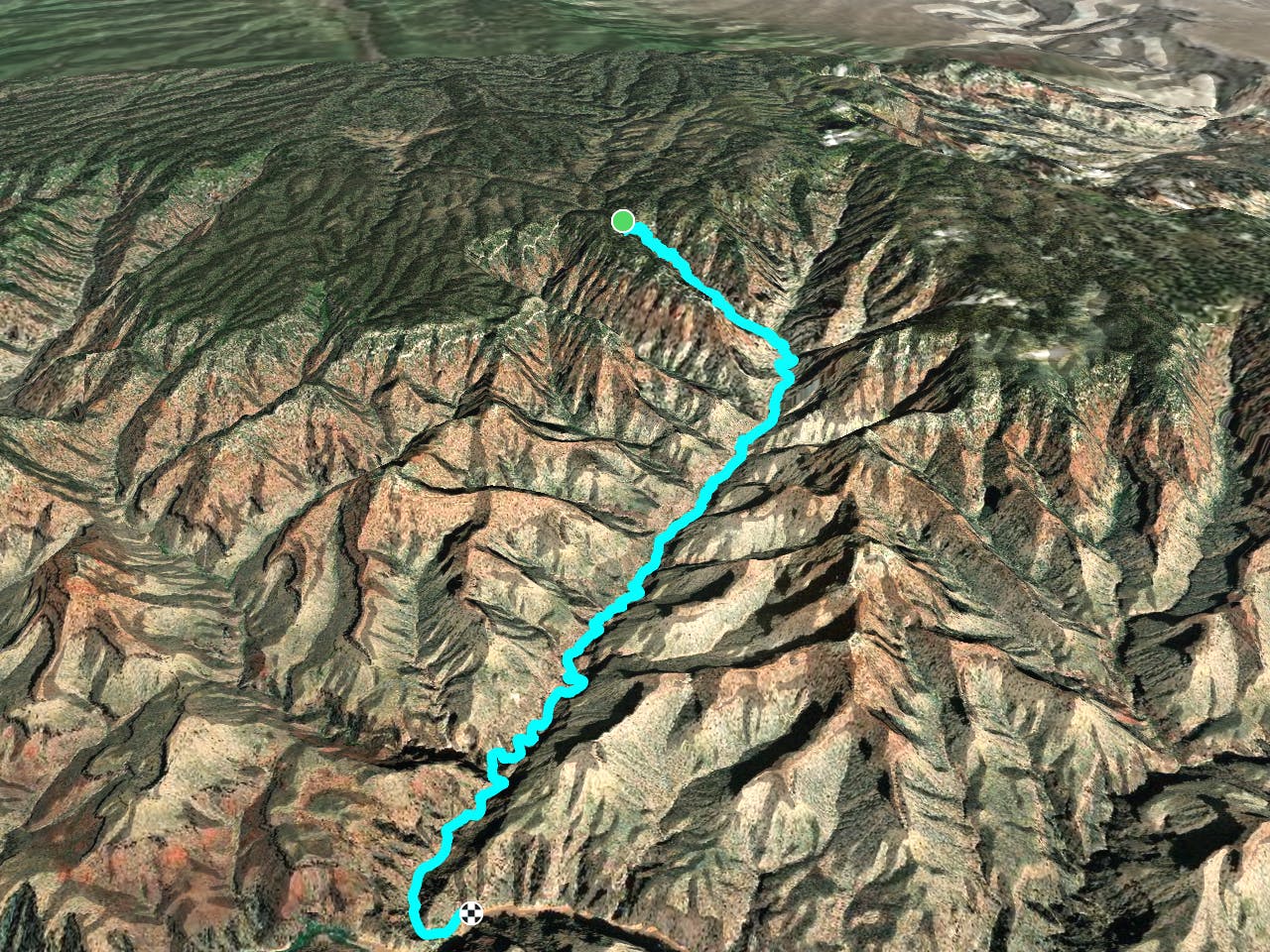
The main route from Grand Canyon's North Rim down to the Colorado River, and one of the most beautiful trails in America.
Hiking Difficult

North Kaibab is the premier hike of the North Rim, and the only maintained trail connecting rim and river on this side. It links with South Kaibab and Bright Angel Trails at Bright Angel Campground in the bottom of the canyon, both of which travel to the South Rim. Thus, North Kaibab is part of the famed Rim to Rim hike across the Grand Canyon. Even as a standalone, North Kaibab Trail is one of the most phenomenal hikes in the entire country, featuring huge views the whole way, descending deeper and deeper with every step into the heart of the world's most dramatic desert gorge.
The entire out and back to the Colorado River (28.4 miles RT, 5850 ft elevation down and back up) is not commonly done as a day trip. The maximum day hike distance recommended by the Park Service is to Roaring Springs and back (9.4 miles RT, 3000 ft elevation down and back up), but strong and competent hikers may prefer to go farther, perhaps to Ribbon Falls (16.8 miles RT, 4500 ft down and back up). Overnight backpackers can stay at Cottonwood Campground or Bright Angel Campground with proper permits.
The trail begins in the high elevation forest of North Rim, among shady mixed conifer and aspen, but drops quickly into a more arid environment after only a few switchbacks. Descending through the canyon's uppermost rock layers, you'll briefly experience multiple life zones, moving through ponderosa pine and then to juniper, pinyon, and manzanita. These soon give way to the cactus, yucca, agave and other characteristically desert plants that dominate the canyon's mid to lower elevations. Admire the changing flora and geology as you tour millions of years of Earth's history quite up close.
The Supai Tunnel is a passageway cut through solid rock at mile 1.7, and a tightly stacked set of switchbacks immediately after, framed against a straight-shot view down Roaring Springs Canyon, really puts the scale of the landscape in perspective. Press on from here to feel smaller and smaller as the cliffs rise higher above. The "Eye of the Needle" is a long, narrow traverse hewn into a sheer cliff of red limestone, which you must cross. Those afraid of heights should not look down. The reward is to stand in awe before the Grand Canyon's largest spring, Roaring Springs, which gushes from the cliffs in multiple waterfalls near this side canyon's junction with Bright Angel Canyon.
Bright Angel Canyon is itself a side canyon of the Grand Canyon, but one of the largest. If you choose to go beyond Roaring Springs, you will find the perennial stream that waters a rare riparian environment in this canyon--Bright Angel Creek. North Kaibab Trail proceeds in less dramatic fashion than before as it follows the creek toward the Colorado River. Steep switchbacks are no more and the gradient is less, but still sustained. The scale of this canyon and its many side drainages seems immense, and indeed it is, but not until reaching the river will it sink in just how tiny you are in the greater gorge.
A side trip worthy of a few extra miles is Ribbon Falls, located 1.6 miles past Cottonwood Campground on an obvious spur trail. Cross the creek on a footbridge and continue up a side canyon to find it. Ribbon Falls is a stream of turquoise spring water rich in dissolved minerals. Where the water flows, the minerals build up in a soft rock called travertine, and it forms a spectacular sloping curtain hundreds of feet tall. Water and moss streak down it in a show of color and sparkle.
Past Ribbon Falls, the nature of the trail remains similar until Phantom Ranch. The ranch is the historic lodge and ranger station at the bottom of the canyon where you can stop in to buy a beer, food, or send a postcard to be delivered by mule. Bright Angel Campground is a short distance from the ranch, then the Colorado River lies just beyond.
Difficult
Hiking trails where obstacles such as rocks or roots are prevalent. Some obstacles can require care to step over or around. At times, the trail can be worn and eroded. The grade of the trail is generally quite steep, and can often lead to strenuous hiking.
2 m away

Journey back to the bottom of the Grand Canyon and out again, bushwhacking and canyoneering much of the way.
Severe Hiking
106 m away
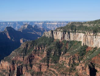
Rolling hills and colorful forest lead to an airy overlook on the canyon rim.
Moderate Hiking
560 m away
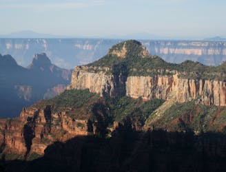
Quiet stroll along the canyon rim near North Rim Campground and Grand Canyon Lodge.
Easy Hiking
1 km away
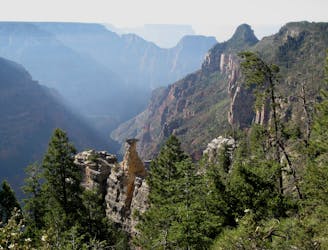
Lesser-traveled trail with canyon views, big trees, and a chance at spotting wildlife.
Moderate Hiking
2.2 km away
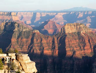
A quick trip to one of the canyon's most spectacular viewpoints.
Easy Hiking
5.9 km away
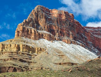
Another beautiful day on the North Kaibab Trail with a fantastic side trip to Ribbon Falls.
Moderate Hiking
9.8 km away
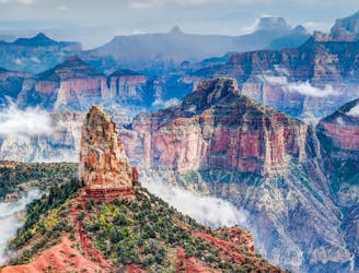
Find solitary canyon views on this trail near the famous Point Imperial.
Easy Hiking
23 routes · Mountain Biking · Hiking
14 routes · Hiking
8 routes · Hiking
9 routes · Hiking
14 routes · Hiking