3.7 km away
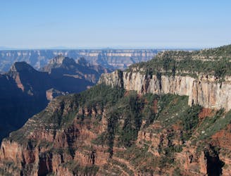
Bright Angel Point
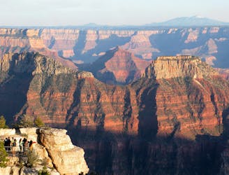
A quick trip to one of the canyon's most spectacular viewpoints.
Easy Hiking
- Distance
- 1.3 km
- Ascent
- 53 m
- Descent
- 53 m
Another beautiful day on the North Kaibab Trail with a fantastic side trip to Ribbon Falls.
Hiking Moderate

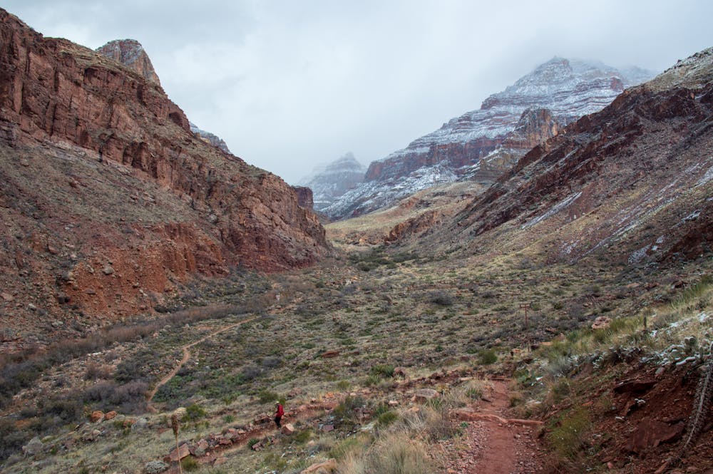
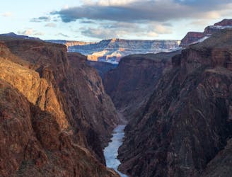
Day four isn't too strenuous, as most of the route is downhill. The last half of the route is pretty flat and goes through a beautiful canyon to arrive at the Colorado River. You are adjacent to a flowing stream most of the way, which is another plus. The scenery initially starts off very open near Cottonwood campground and then narrows as you approach the Colorado.
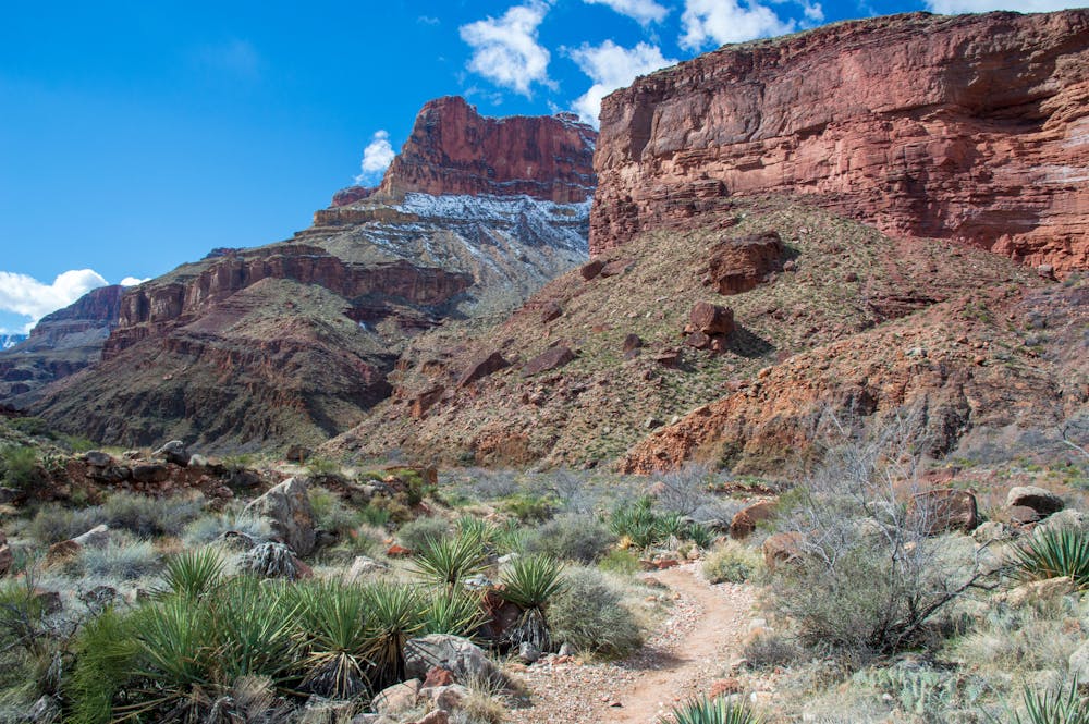
A worthy side trip that is not far from the main trail (North Kaibab) is Ribbon Falls. This is a spectacular waterfall that should not be missed. There is a beautiful pool underneath the falls that serves as a great swimming hole. Ribbon Falls makes for a great spot to have a nice break. Hikers staying at Phantom Ranch often visit Ribbon Falls as a day trip.
Following Ribbon Falls, the trail is relatively straightforward as it is obvious which direction one should head.
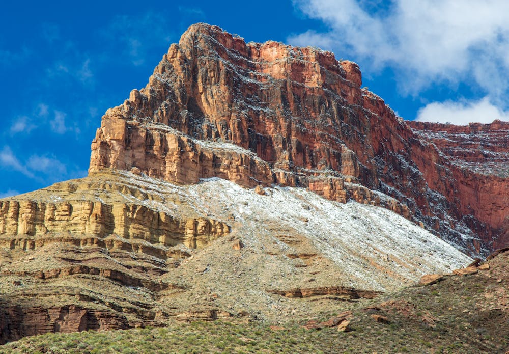
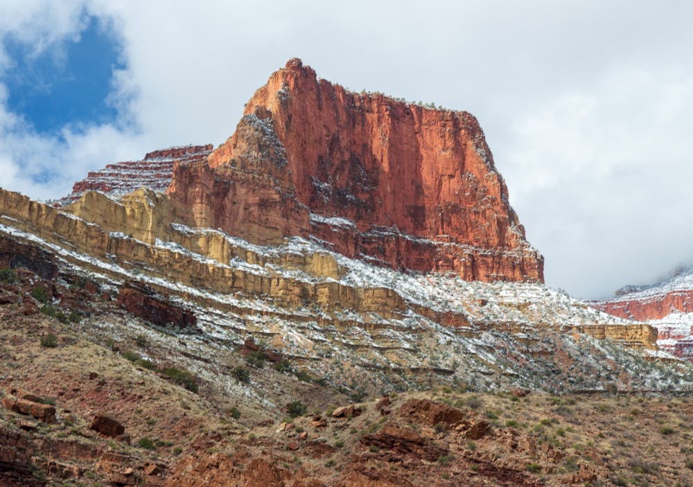
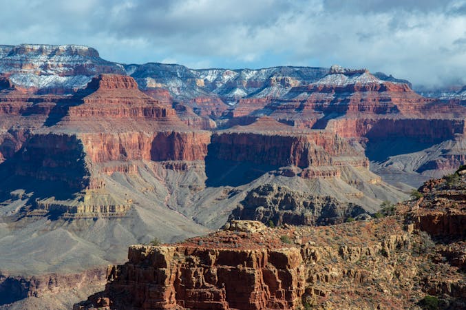
Observing your surroundings is one of the highlights of hiking in the grand canyon. The nooks and crannies found in the Grand Canyon are unlike any other location in the world. When you are near the bottom of the canyon, parts of the Rim appear as majestic peaks that could make you feel like you are in the Rockies!
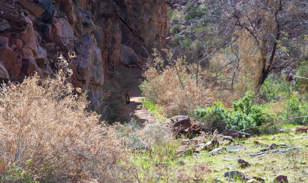
Another plus of being in the canyon is the chance to see wildlife. A young mountain lion was spotted near the Colorado River on this route, so always be on the lookout!
It is obvious once you arrive at the Phantom Ranch and Bright Angel campground area. Bright Angel campground is nestled in a fantastic location, as the sites are located by a rushing stream. There is a sink to fill water, and bathrooms are present too.
Overall, this relatively relaxed, albeit beautiful, day along the North Kaibab Trail should not be rushed!
Moderate
Hiking along trails with some uneven terrain and small hills. Small rocks and roots may be present.

The path is on completely flat land and potential injury is limited to falling over.

Little chance of being seen or helped in case of an accident.
3.7 km away
A quick trip to one of the canyon's most spectacular viewpoints.
Easy Hiking
5.7 km away
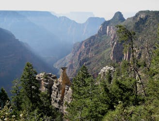
Quiet stroll along the canyon rim near North Rim Campground and Grand Canyon Lodge.
Easy Hiking
5.9 km away
Journey back to the bottom of the Grand Canyon and out again, bushwhacking and canyoneering much of the way.
Severe Hiking
5.9 km away
The main route from Grand Canyon's North Rim down to the Colorado River, and one of the most beautiful trails in America.
Difficult Hiking
6 km away
Rolling hills and colorful forest lead to an airy overlook on the canyon rim.
Moderate Hiking
6.8 km away
Lesser-traveled trail with canyon views, big trees, and a chance at spotting wildlife.
Moderate Hiking
8.1 km away
A less visited trails that provides fantastic views of the Colorado River and the canyon.
Moderate Hiking
8.1 km away
The final day of the loop ascends the beautiful South Kaibab Trail to the South Rim.
Difficult Hiking
9.9 km away
Quick hike to Native American rock art and a natural spring in a secluded side canyon.
Easy Hiking
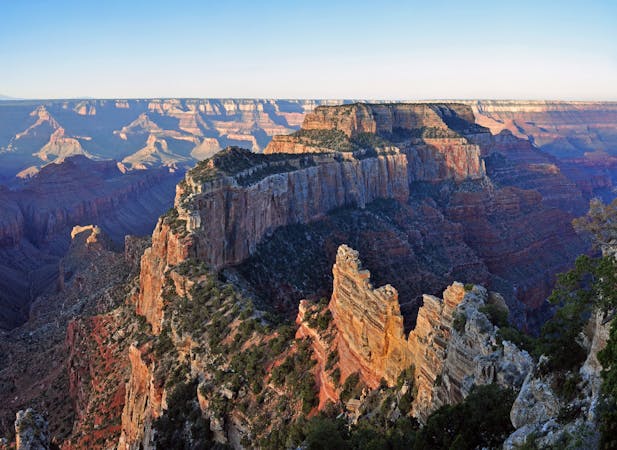
9.9 km away
Paved path to one of the Grand Canyon's grandest viewpoints, and a perch atop a natural arch.
Easy Hiking

23 routes · Mountain Biking · Hiking
14 routes · Hiking
8 routes · Hiking
9 routes · Hiking

14 routes · Hiking