1 km away
Hayduke Trail: North Rim to Hack Canyon
Journey back to the bottom of the Grand Canyon and out again, bushwhacking and canyoneering much of the way.
Severe Hiking
- Distance
- 139 km
- Ascent
- 2.9 km
- Descent
- 3.9 km
Lesser-traveled trail with canyon views, big trees, and a chance at spotting wildlife.
Hiking Moderate

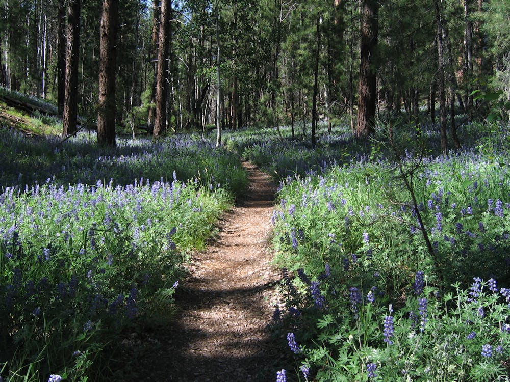
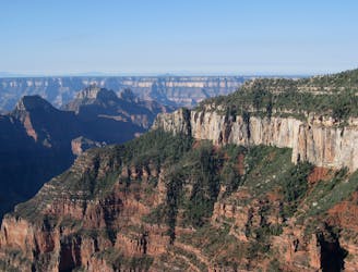
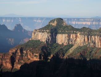
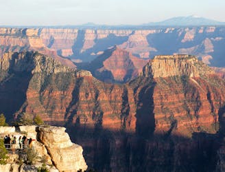
Widforss is one of the quieter trails on the North Rim. Its location, a short drive down a gravel road, seems to keep the crowds away. Its full length can seem intimidating, but you don’t have to hike all of it for a worthwhile experience. In only a short hike, you’ll see canyon overlooks, old-growth forest, and perhaps elusive wildlife. The full hike leads to a remote part of the rim after meandering through miles of woodlands.
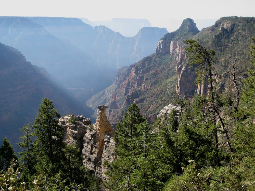
Widforss Trail has two distinct sections. For a short, family-friendly hike, do only the first section. Initially, this trail winds along the canyon rim through shady forest. You’ll reach multiple spectacular viewpoints in only a mile or two of hiking. Many of the trees are old-growth, with huge ponderosa pines and other species. If you want to learn more about the nature, pick up an interpretive brochure from the visitor center before your hike. It contains information corresponding to numbered posts along the trail.
Sometime after the last number of the interpretive brochure, the trail departs the rim of the canyon and wanders through a more open, varied forest. This is the trail’s second section, which is best for those who want to hike farther and find solitude.
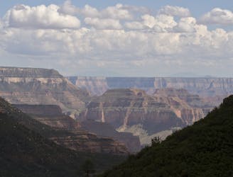
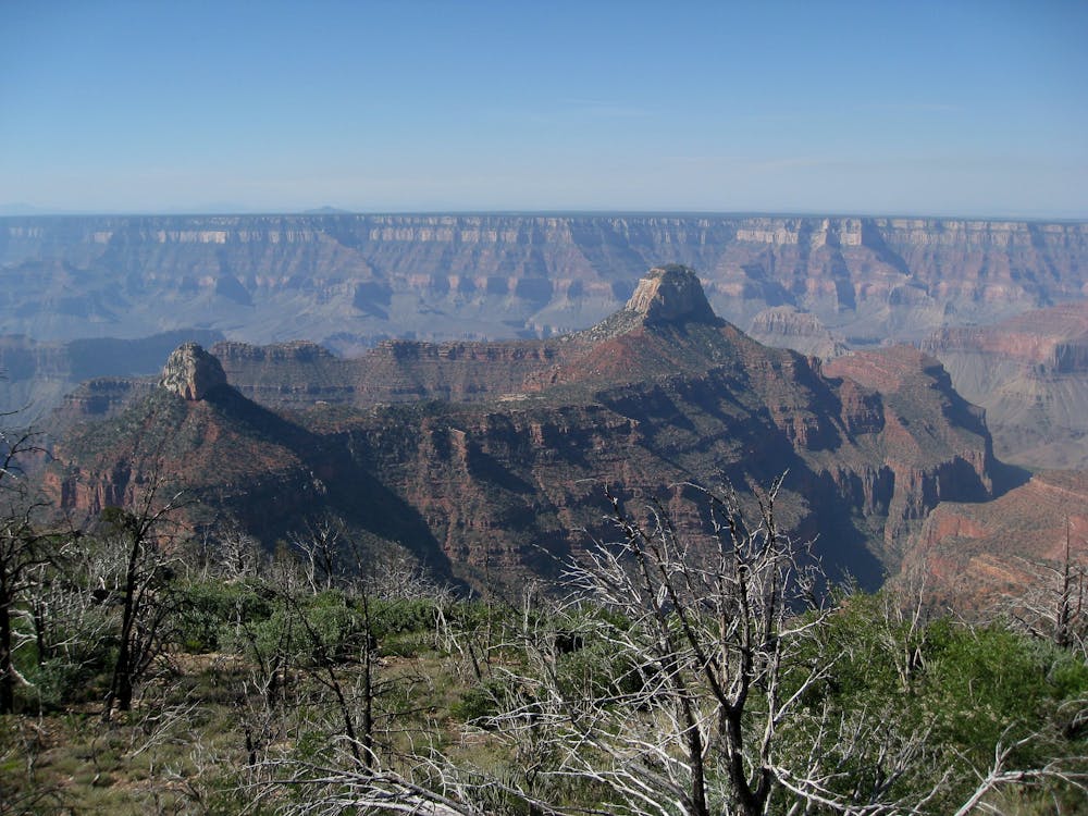
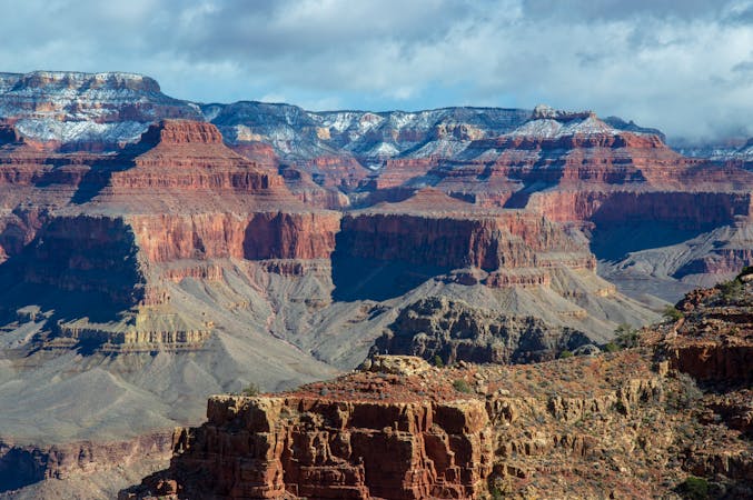
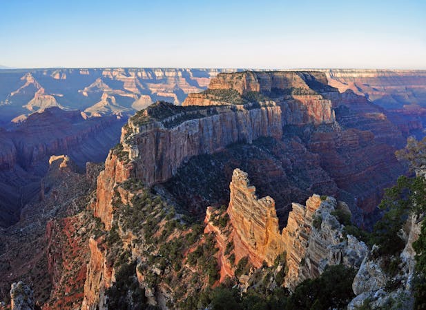
After passing through pine forest, aspen groves, oak woodlands, and open areas, it finally reaches Widforss Point. This “point” is a rocky, treeless slope descending into the canyon. Though it’s not a clifftop overlook, the view is expansive. You can see many huge buttes within the canyon, across to the South Rim and Grand Canyon Village, and beyond to the San Francisco Peaks and other mountains. A single picnic table sits near the end of the trail, among several shady spots beneath the trees. Take time to linger and enjoy this wild setting on the North Rim.
Sources: https://www.nps.gov/grca/learn/news/upload/nr-pocket-map.pdf
Moderate
Hiking along trails with some uneven terrain and small hills. Small rocks and roots may be present.

The trail contains some obstacles such as outcroppings and rock which could cause injury.
Away from help but easily accessed.
1 km away
Journey back to the bottom of the Grand Canyon and out again, bushwhacking and canyoneering much of the way.
Severe Hiking
1 km away
The main route from Grand Canyon's North Rim down to the Colorado River, and one of the most beautiful trails in America.
Difficult Hiking
1.1 km away
Rolling hills and colorful forest lead to an airy overlook on the canyon rim.
Moderate Hiking
1.1 km away
Quiet stroll along the canyon rim near North Rim Campground and Grand Canyon Lodge.
Easy Hiking
3.1 km away
A quick trip to one of the canyon's most spectacular viewpoints.
Easy Hiking
6.8 km away
Another beautiful day on the North Kaibab Trail with a fantastic side trip to Ribbon Falls.
Moderate Hiking
9.9 km away
Find solitary canyon views on this trail near the famous Point Imperial.
Easy Hiking

23 routes · Mountain Biking · Hiking
14 routes · Hiking
8 routes · Hiking
9 routes · Hiking

14 routes · Hiking