106 m away
North Kaibab Trail
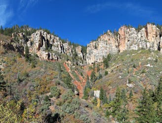
The main route from Grand Canyon's North Rim down to the Colorado River, and one of the most beautiful trails in America.
Difficult Hiking
- Distance
- 23 km
- Ascent
- 251 m
- Descent
- 2 km
Rolling hills and colorful forest lead to an airy overlook on the canyon rim.
Hiking Moderate

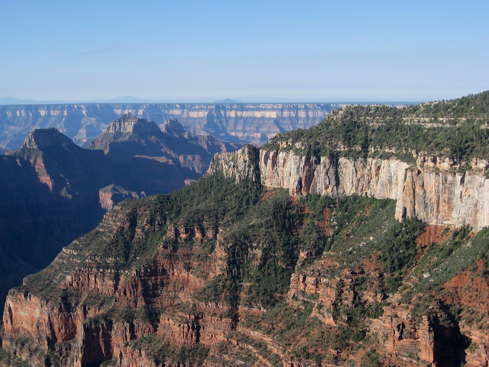
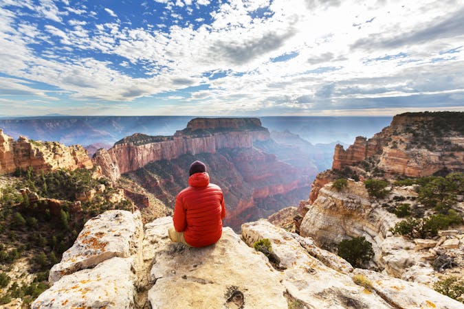
Uncle Jim Trail, named for a former game warden at the Grand Canyon, is a great way to see a lot of North Rim ecology and canyon views in a moderate hike. It makes a loop to a solitary overlook, traveling through various forest types on the way. You may also see some of the park’s resident wildlife, like mule deer or elk.
Begin by following Ken Patrick Trail past the mule paddock from North Kaibab Trailhead. Mules often use Uncle Jim as part of short day tours, so be prepared to stop and heed the mule driver’s instructions when they pass.
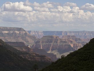
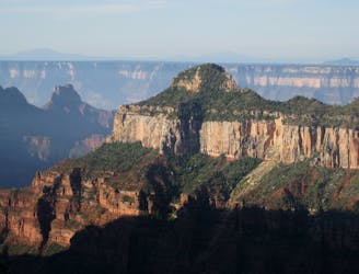
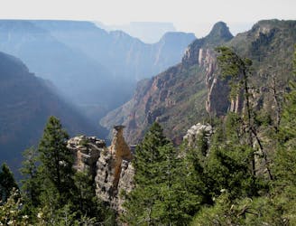
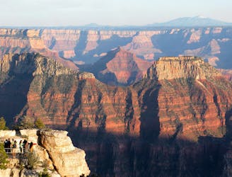
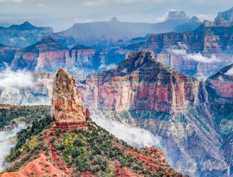
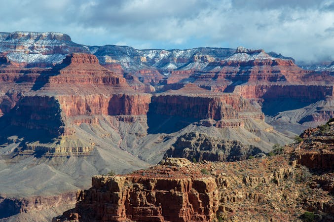
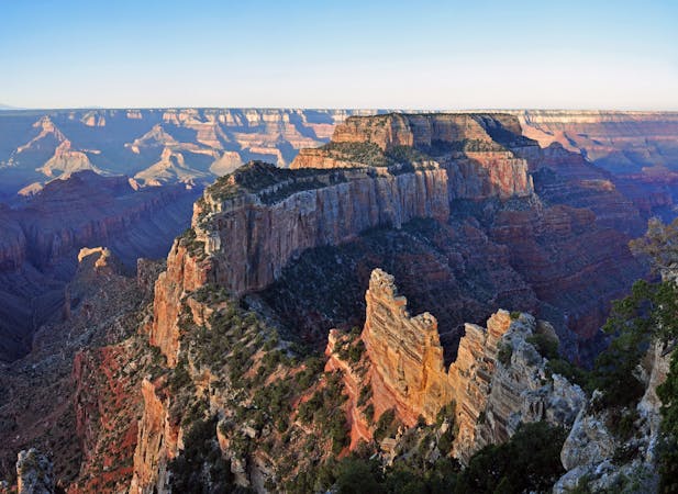
Uncle Jim Point is an airy promontory on the canyon rim. It overlooks the upper switchbacks of North Kaibab Trail as they descend through warm-hued cliff bands, into Roaring Springs Canyon and then Bright Angel Canyon, which are both tributaries of the greater Grand Canyon that unfolds in the distance. You can see all the way across to the South Rim—horizontal striations in the hazy distance and mountains dotting the horizon beyond.
On the way to and from the point, you’ll pass through colorful aspen and mixed conifer forest, where wildflowers abound in early summer. There are some swaths of sunny burned areas as well, where the larger trees are dead and new greenery is steadily returning. These open areas and the overlook can be dangerous places during thunderstorms, so use caution during the summer monsoon season.
The trail is a loop, but you can make it slightly shorter by hiking in the direction mapped (counterclockwise) and retracing your steps from Uncle Jim Point. Doing so skips some nice cliff-top views near the head of Bright Angel Canyon, however.
Sources: https://www.grandcanyontrust.org/hikes/uncle-jim-trail https://www.nps.gov/grca/learn/news/upload/nr-pocket-map.pdf
Moderate
Hiking along trails with some uneven terrain and small hills. Small rocks and roots may be present.

The trail contains some obstacles such as outcroppings and rock which could cause injury.
Away from help but easily accessed.
106 m away
The main route from Grand Canyon's North Rim down to the Colorado River, and one of the most beautiful trails in America.
Difficult Hiking
108 m away
Journey back to the bottom of the Grand Canyon and out again, bushwhacking and canyoneering much of the way.
Severe Hiking
667 m away
Quiet stroll along the canyon rim near North Rim Campground and Grand Canyon Lodge.
Easy Hiking
1.1 km away
Lesser-traveled trail with canyon views, big trees, and a chance at spotting wildlife.
Moderate Hiking
2.2 km away
A quick trip to one of the canyon's most spectacular viewpoints.
Easy Hiking
6 km away
Another beautiful day on the North Kaibab Trail with a fantastic side trip to Ribbon Falls.
Moderate Hiking
9.7 km away
Find solitary canyon views on this trail near the famous Point Imperial.
Easy Hiking

23 routes · Mountain Biking · Hiking
14 routes · Hiking
8 routes · Hiking
9 routes · Hiking

14 routes · Hiking