302 m away
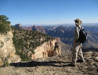
Cape Royal Trail
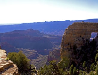
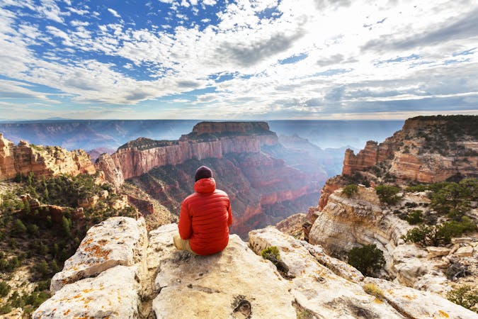
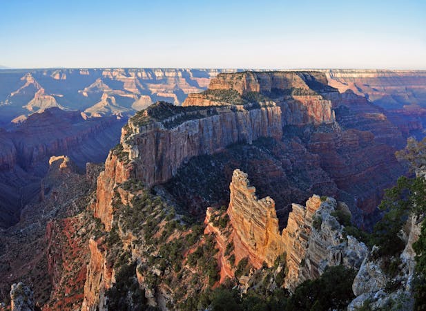
Paved path to one of the Grand Canyon's grandest viewpoints, and a perch atop a natural arch.
Easy Hiking
- Distance
- 1.5 km
- Ascent
- 46 m
- Descent
- 46 m
Quick hike to Native American rock art and a natural spring in a secluded side canyon.
Hiking Easy

This short trail offers a different hiking experience than most on the North Rim. Most trails travel through the forest above the edge of the main canyon, but this one dips below the rim of a side canyon, tracing a ledge beneath rock overhangs. Within the recesses of the cliff are ancient Native American ruins. You can find stone walls of a granary as well as paintings on the rock wall. They are easy to miss, so look closely and take care to avoid touching these fragile artifacts. You may notice that some of the rock art has already been ruined by careless visitors, so please respect what is left.
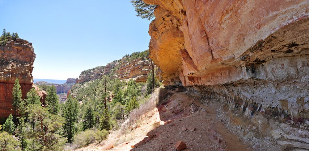
The namesake of this trail is a natural spring that seeps out behind a large boulder. Previous inhabitants probably used this canyon because of the reliable water source in a discrete location. Today the quality of the water is compromised by activity on the North Rim, but in the past it was most likely good to drink.
Sources: https://www.nps.gov/grca/learn/news/upload/nr-pocket-map.pdf
Easy
Walking along a well-kept trail that’s mostly flat. No obstacles are present.

The trail contains some obstacles such as outcroppings and rock which could cause injury.
Away from help but easily accessed.
302 m away
Paved path to one of the Grand Canyon's grandest viewpoints, and a perch atop a natural arch.
Easy Hiking
2.6 km away
Peaceful forest hike to an especially vast panorama of the Grand Canyon.
Easy Hiking
9.9 km away
Another beautiful day on the North Kaibab Trail with a fantastic side trip to Ribbon Falls.
Moderate Hiking
14 routes · Hiking
8 routes · Hiking
9 routes · Hiking