2.7 km away
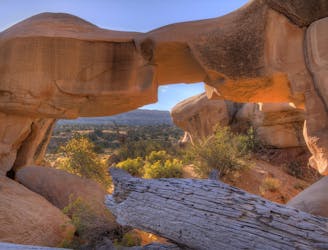
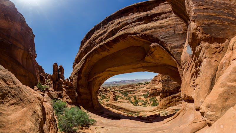
Tower Arch
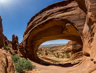
Hike to one of the most remote arches in Arches National Park.
Moderate Hiking
- Distance
- 4.8 km
- Ascent
- 224 m
- Descent
- 224 m
A warm up in distance and difficulty for the 800-mile backcountry journey along the Hayduke Trail.
Hiking Difficult

Most thru-hikers go westbound on the Hayduke Trail, making Section 1 the start of the journey. Conveniently, this section is introductory-level in difficulty, providing a preview and practice for the rigors to come. Thus, it’s also a great choice for a section hike if you’d rather not bite off the whole Hayduke at once. This section offers a taste of all the major route types you will encounter on the full journey: dirt roads, footpaths, dry washes, flowing streams, and trackless cross-country.
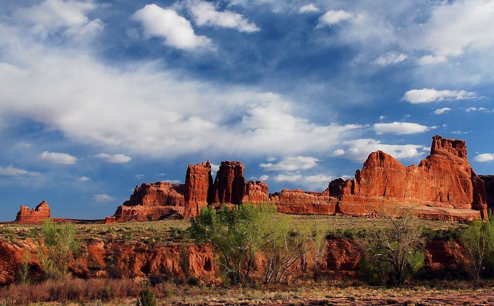
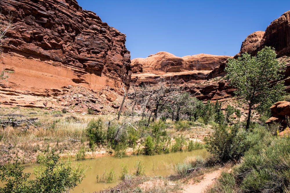
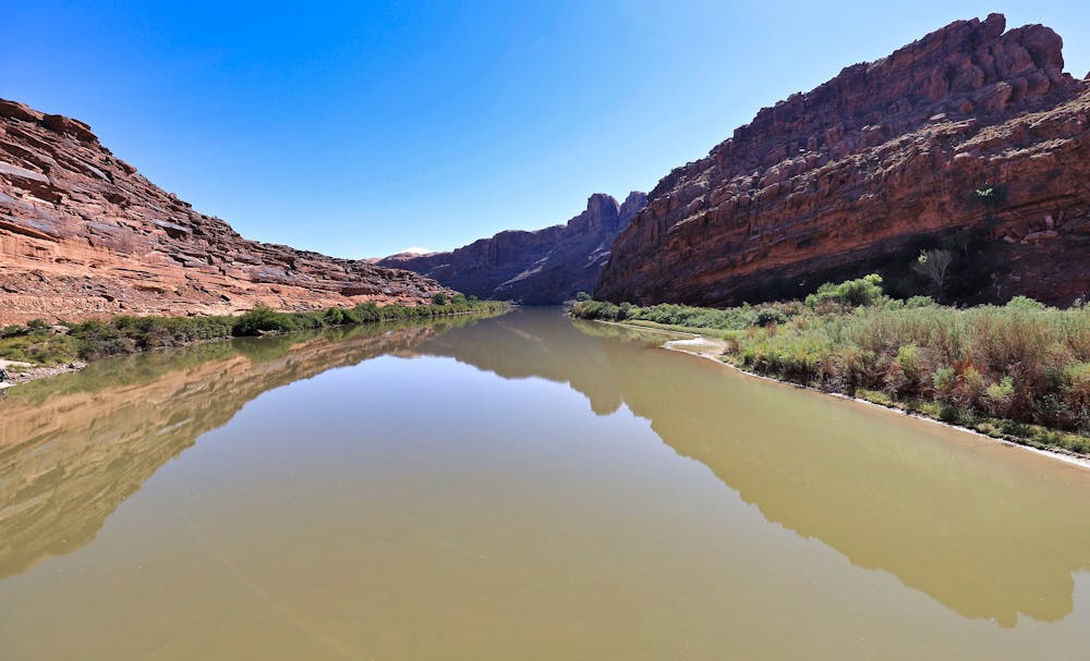
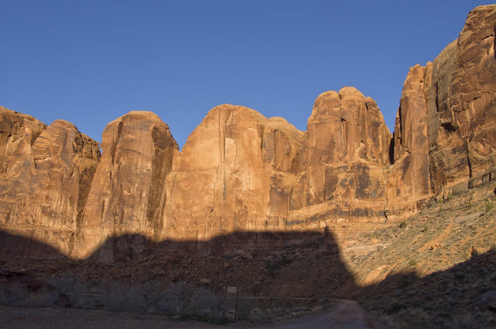
On Section 1, you can find your trail legs on the relatively mellow but iconically-scenic terrain of Arches National Park, where dirt roads and a little cross-country travel lead to the bottom of Courthouse Wash. This canyon meanders many miles to the Colorado River, passing by the often-photographed Courthouse Towers and beneath the Scenic Drive road. The wash then enters sinuous sandstone narrows where you may walk through flowing water or soft mud among thick vegetation. The canyon opens at the Colorado River, which you’ll cross on a footbridge then follow pavement through Moab.
This initial leg through Arches will provide your first exercise in locating springs or treating water from the muddy flow of a wash, and will test your gear as well as route-finding skills just enough to know if you should adjust or acquire anything in Moab before moving on.
Past Moab, you’ll meet the Colorado River again. Continue into the towering red walls of Kane Creek Canyon, where the road turns to dirt and leads to Hurrah Pass to begin Section 2.
Sources: http://www.hayduketrail.org/TheRoute.html http://www.hayduketrail.org/Maps.html https://caltopo.com/m/5J0S
Difficult
Hiking trails where obstacles such as rocks or roots are prevalent. Some obstacles can require care to step over or around. At times, the trail can be worn and eroded. The grade of the trail is generally quite steep, and can often lead to strenuous hiking.

Some trail sections have exposed ledges or steep ascents/descents where falling could cause serious injury.
Little chance of being seen or helped in case of an accident.
2.7 km away
Hike to one of the most remote arches in Arches National Park.
Moderate Hiking
8.6 km away
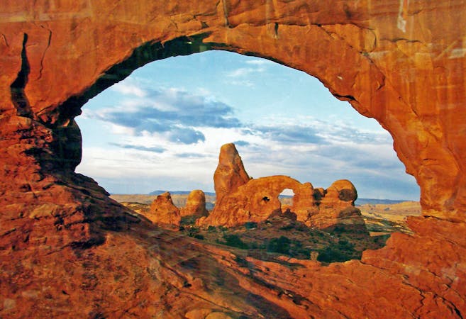
The most difficult maintained trail in Arches National Park.
Severe Hiking
6 routes · Hiking
14 routes · Hiking

14 routes · Hiking

25 routes · Alpine Climbing · Hiking

10 routes · Hiking

10 routes · Hiking
5 routes · Hiking