3 km away
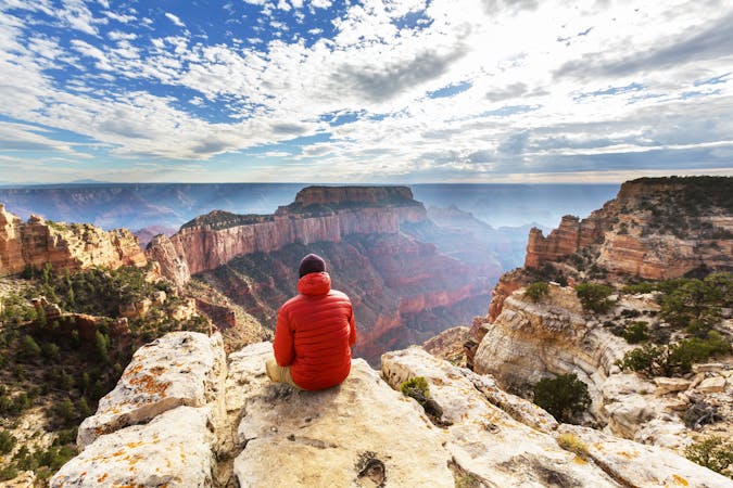
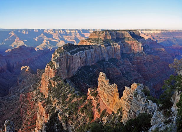
Point Imperial Trail
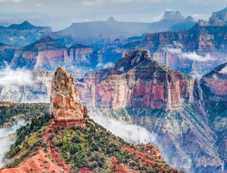
Find solitary canyon views on this trail near the famous Point Imperial.
Easy Hiking
- Distance
- 8.9 km
- Ascent
- 162 m
- Descent
- 162 m
A bold descent among cliffs of the Grand Canyon, followed by a long traverse along the Colorado River in the bottom.
Hiking Severe

Immediately after finally laying eyes on the Grand Canyon, it’s time to drop into it. This section starts on Saddle Mountain Trail with views through sparse pines to the colossal gorge that lies below. Up here the terrain is gently sloped, but you can see the verge where sheer walls fall away below. Nankoweap Trail takes that plunge, but not cleanly.
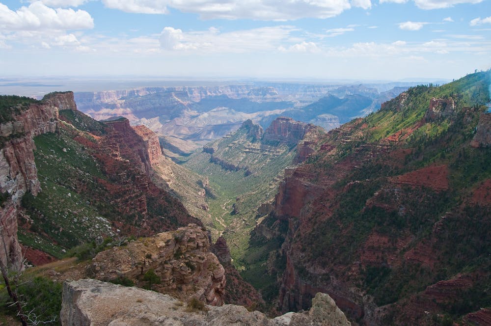
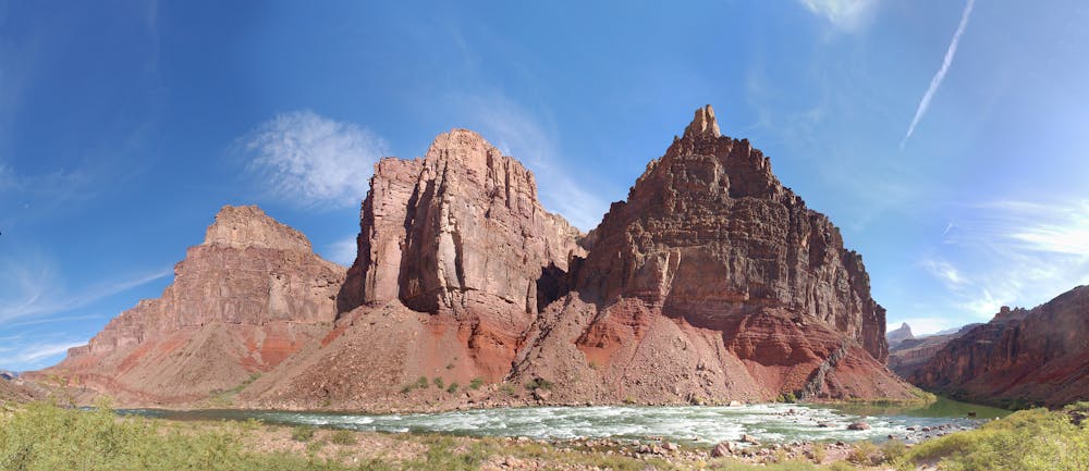
The trail alternates between steep descents and torturous traverses, usually in rock that’s less stable than desired. Some sections have terrifying exposure on one side. Watch your footing, but don’t forget to enjoy the views, either. As you go down the canyon feels more and more expansive. You enter the depths of the abyss rather than gazing into it from above. You’ll want to carry lots of water from the rim because most of this trail is dry and hot.
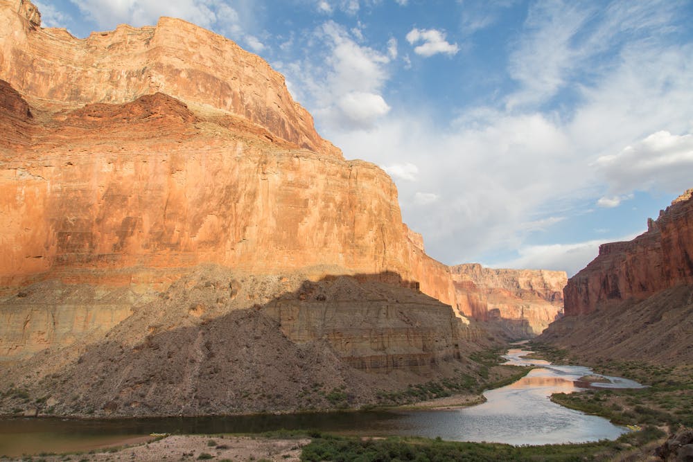
Finally you’ll reach easier hiking, flowing water, and shady cottonwoods along Nankoweap Creek. Ahead lies the Colorado River and the Nankoweap Delta. When you reach it, the uphill trip to the granaries is worthwhile for the human history and classic view down-canyon over the river.
From the delta, a long traverse beside the river begins. Follow use trails downstream through the brush, and and try to locate the best one to follow onward. A trail exists the whole way to the Little Colorado River confluence, though it can be hard to follow. It generally stays well above river level but comes down in some spots. You should be able to go the whole way without too much bushwhacking.
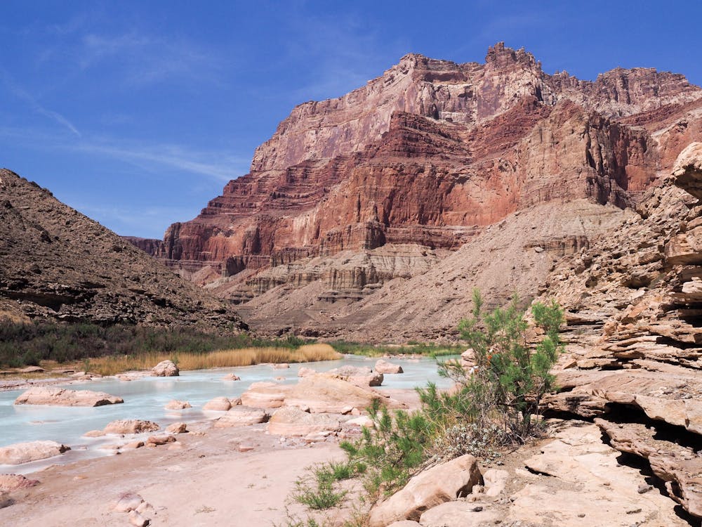
Then you have to cross the river. This might be very easy or very hard, depending on your luck. Most hikers hitch a ride with river rafters, though it’s technically not legal for them to pick up passengers. Many will be willing to take you briefly across, though, so don’t be afraid to flag them down. You might have to wait a while for a trip to pass. You can cross most anywhere in between Nankoweap and the Little Colorado, depending on where you can reach the river and meet rafters.
Once across, you’ll continue to the Little Colorado and ford it. Be careful here because the current is deceptively strong. Don’t cross too close to the main stem of the Colorado, or you could be swept away and have to swim for your life.
On the other side lies the Beamer Trail, a welcome return to national park footpath. Beamer, then Escalante, then Tonto trails in succession travel through varied terrain for many miles, in and out of side canyons but never too far above the river, passing many iconic and ferocious rapids like Tanner, Basalt, and Hance. The canyon grows wider and taller as you progress, and you’ll again lose any realistic sense of scale that surrounds you. This section ends at a trail junction on Horseshoe Mesa, after climbing Hance Creek Trail past a couple of water sources.
Sources: http://www.hayduketrail.org/TheRoute.html http://www.hayduketrail.org/Updates.html https://www.little-package.com/blog/2017/11/hayduke-trail-tips https://thejourneyofseldomseen.blogspot.com/2014/05/grand-canyon-nankoweap-trail.html https://caltopo.com/m/HVQD
Severe
Hiking challenging trails where simple scrambling, with the occasional use of the hands, is a distinct possibility. The trails are often filled with all manner of obstacles both small and large, and the hills are very steep. Obstacles and challenges are often unexpected and can be unpredictable.

Some trail sections have exposed ledges or steep ascents/descents where falling could cause serious injury.
Little chance of being seen or helped in case of an accident.
3 km away
Find solitary canyon views on this trail near the famous Point Imperial.
Easy Hiking
14 routes · Hiking
9 routes · Hiking

14 routes · Hiking