1.8 km away
Bridle Path
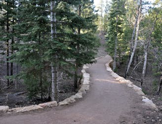
Shady path on the North Rim that is open to pets and bikes.
Easy Mountain Biking
- Distance
- 4.4 km
- Ascent
- 91 m
- Descent
- 91 m
Along the Arizona Trail between Grand Canyon and the Utah state line you’ll discover outstanding singletrack, phenomenal views, and beautiful forests and meadows that seldom see human visitors.
Mountain Biking Difficult

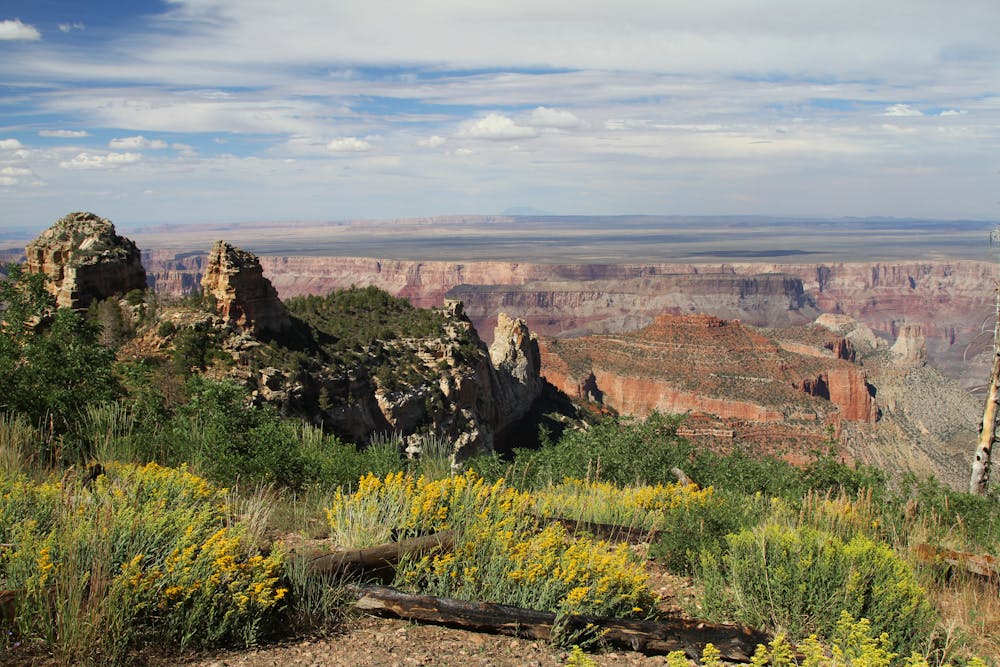
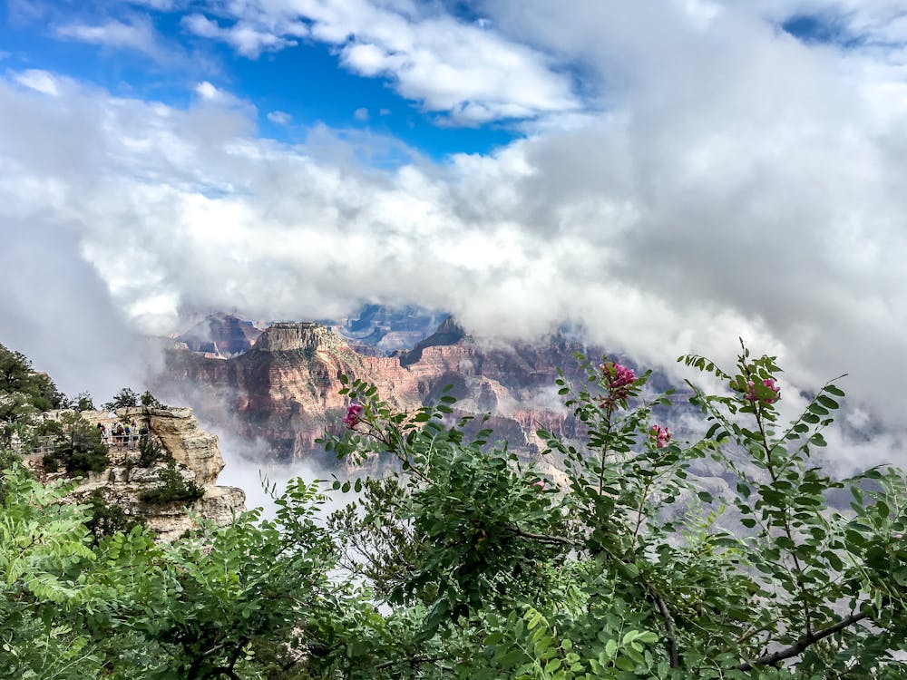
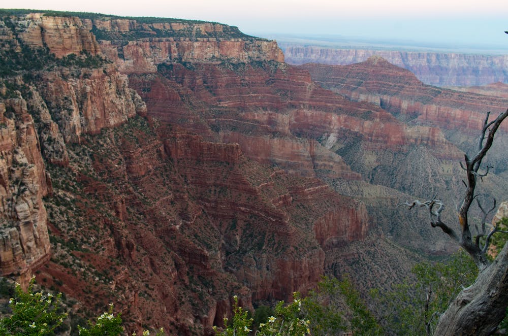
One of Arizona’s least visited natural wonders lies hidden on the Kaibab Plateau north of Grand Canyon National Park. Along the Arizona Trail between Grand Canyon and the Utah state line you’ll discover outstanding singletrack, phenomenal views, and beautiful forests and meadows that seldom see human visitors. This area is only accessible between May and November as winter can bury the entire plateau in snow for over half the year.
This was the first segment of Arizona Trail to be designated in the 1980s and remains one of the most significant portions of trail in the state. After four days of riding you’ll understand why. While the first two days include rolling terrain at high elevation, the last two are mostly downhill. The highpoint of this ride on Day 1 is above 9,150 ft. and the lowpoint on day 4 is at 5,000 feet. Riders of all ability levels will appreciate this AZT Expedition, including beginners who don’t mind sucking a little wind at altitude.
Day One
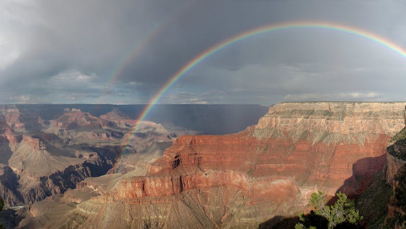
Our first day we’ll meet at 7:00am at Flag Bike Revolution. This ride begins as dramatically as it ends, and before you climb aboard your bike and begin riding north you’ll want to take a short walk down the North Kaibab Trail and see one of the seven natural wonders of the world from its most spectacular vantagepoint. Peering into Bright Angel Canyon from the North Rim might be one of the best views in the world, but it’s only one of three unforgettable viewpoints you’ll experience over the next four days. The first ten miles of this day’s ride gain over 1,000 feet in elevation, which is no easy task considering you start above 8,000 feet. The trail rises and falls (but mostly rises) in and out of small drainages before entering the Kaibab National Forest. We’ll make camp here and allow you to catch your breath for the next day. Ride length is 13 miles.
For more information and to book a tour, visit: http://aztexpeditions.com/portfolio/grand-canyon-to-utah.html
Difficult
Mostly stable trail tread with some variability featuring larger and more unavoidable obstacles that may include, but not be limited to: bigger stones, roots, steps, and narrow curves. Compared to lower intermediate, technical difficulty is more advanced and grades of slopes are steeper. Ideal for upper intermediate riders.

The trail contains some obstacles such as outcroppings and rock which could cause injury.

In the high mountains or remote conditions, all individuals must be completely autonomous in every situation.
1.8 km away
Shady path on the North Rim that is open to pets and bikes.
Easy Mountain Biking

23 routes · Mountain Biking · Hiking
8 routes · Mountain Biking · Road Biking