6 km away
Colossal Cave Loop
A rambling XC loop that can be extended with portions of the AZT.
Moderate Mountain Biking
- Distance
- 25 km
- Ascent
- 299 m
- Descent
- 299 m
Limestone dominates the landscape, which makes for challenging riding, but soon disappears as you descend into lower elevations.
Mountain Biking Moderate

This diverse and exciting three-day adventure features 60 miles of flowing singletrack through oak and juniper forests, across golden grasslands and finishing among stands of giant saguaro cacti. While technical challenges will be encountered each day, the majority of the route is ideal for beginner and intermediate riders who want to experience the Arizona Trail near Tucson.
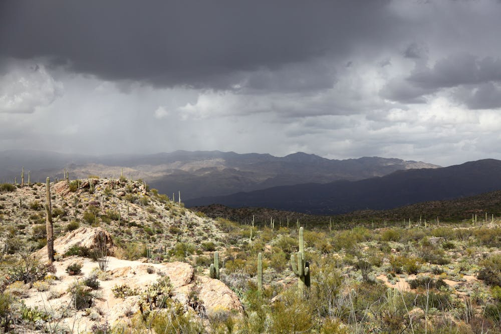
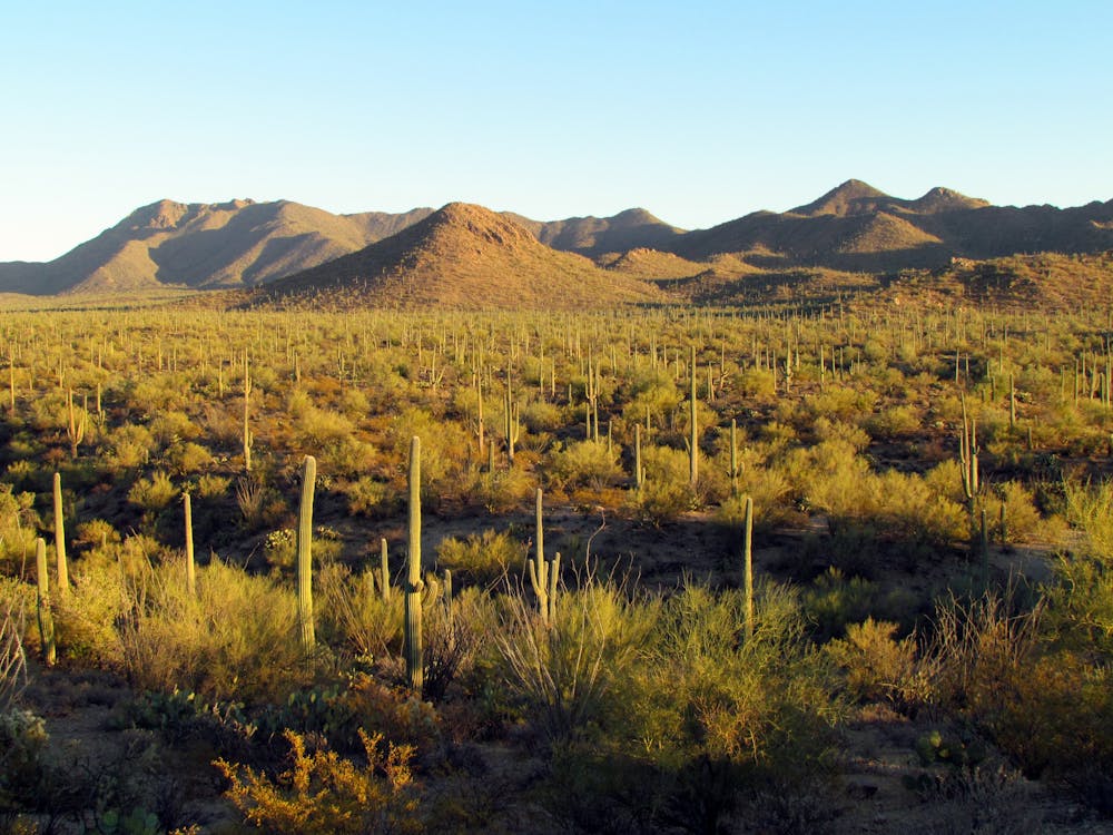
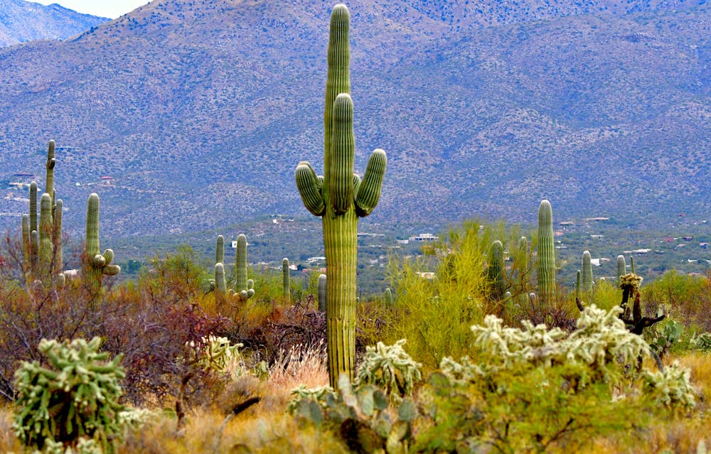
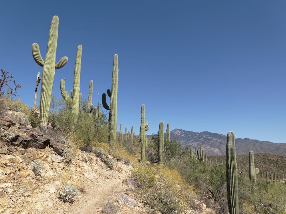
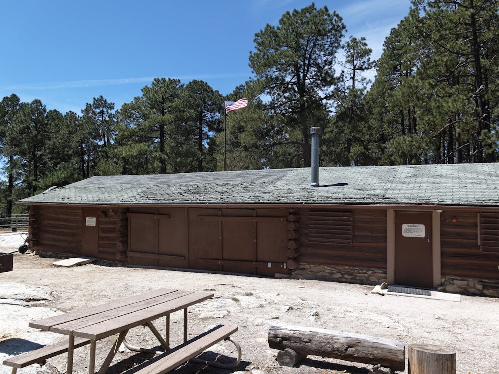
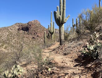
The Santa Rita Mountains are incredibly biodiverse, and are one of the only places in America where you might share the trail with a jaguar or ocelot (both have been documented here in recent years). This is the only trip where you can spend time underground, and a walk through Colossal Cave will reveal the incredible world that exists underground. Ending in Saguaro National Park (one of only two National Parks in the country that allow mountain bikes on trails), this three-day itinerary is about as much fun as you can have on your mountain bike.
Day 3
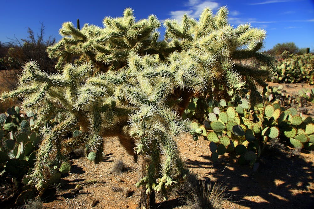
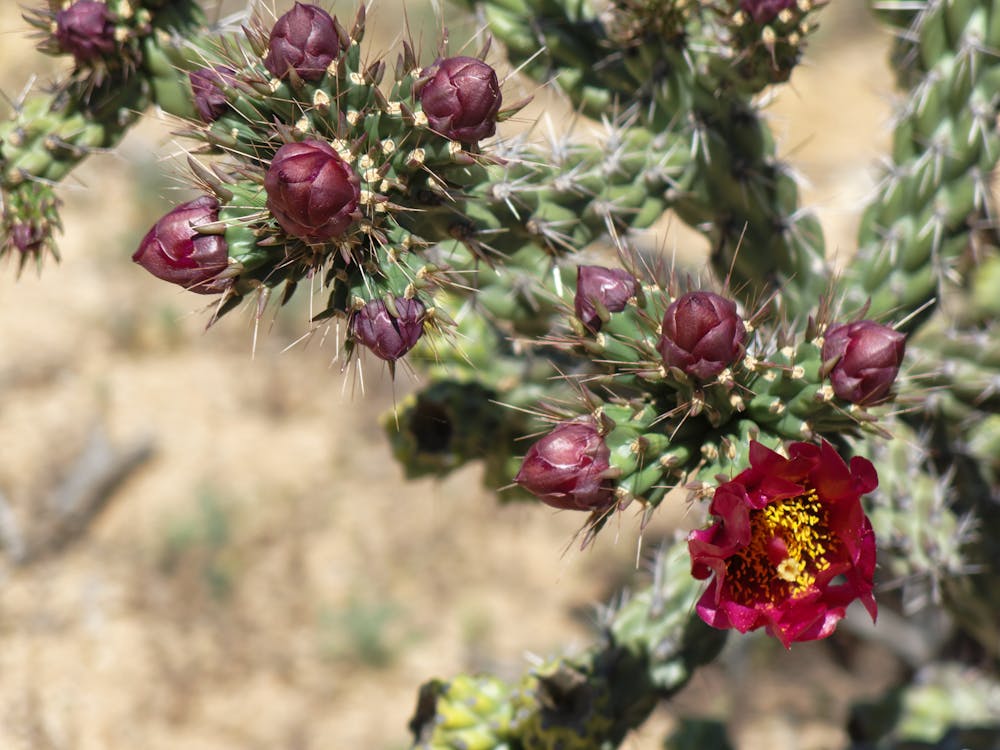
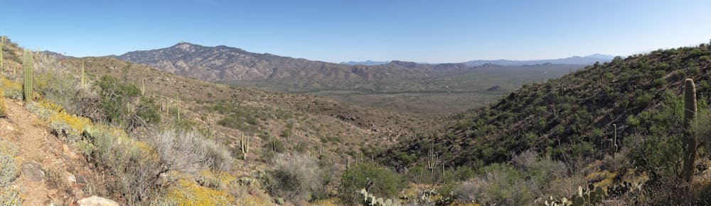
The day begins with a rocky, gentle climb north out of Colossal Cave Mountain Park. Limestone dominates the landscape, which makes for challenging riding, but soon disappears as you descend into lower elevations. The trail seems to get easier with each passing mile, rolling downhill toward Rincon Creek. Sometimes flowing like a creek and other times just a trickle, it’s a pleasant change from the prickly pear and ocotillo forests nearby. Climbing out of Rincon Creek the Arizona Trail enters Saguaro National Park, first on singletrack then on an old doubletrack road that allows you to soak up the inspiring views of the massive Rincon Mountains. Healthy forests of saguaros surround you and Gila monsters and rattlesnakes are commonly seen here. Where the Arizona Trail enters the Saguaro Wilderness area, you follow the Hope Camp Trail toward the Camino Loma Alta Trailhead. If you want more miles, pedal the paved loop through Saguaro National Park – one of the most scenic routes anywhere in Arizona. Along the way you’ll encounter the Cactus Forest Loop, a short segment of trail that is open to bicycles. It’s a great way to experience the biodiversity of the Park. Ride length is 12 miles.
For more information and to book a tour, visit: http://aztexpeditions.com/Arizona-Trail-5
Moderate
Mostly stable trail tread with some variability, with unavoidable obstacles 8in/20cm tall or less. Other obstacles such as rock gullies and steep sections may exist. Ideal for lower intermediate riders.

The trail contains some obstacles such as outcroppings and rock which could cause injury.
Away from help but easily accessed.
6 km away
A rambling XC loop that can be extended with portions of the AZT.
Moderate Mountain Biking
9.8 km away
The Arizona Trail Race route, running from Saguaro National Park past Mount Lemmon and culminating at Oracle State Park.
Difficult Mountain Biking

23 routes · Mountain Biking · Hiking

37 routes · Mountain Biking

32 routes · Mountain Biking · Hiking · Road Biking