The trail network that this ride begins and ends in is largely unmarked but is still well-traveled by the locals. Be sure to download this map for online navigation to prevent getting lost. All of the trails in this tract of State Trust Land are flowy and non-technical, helping create a delightful, rambling cross country loop.
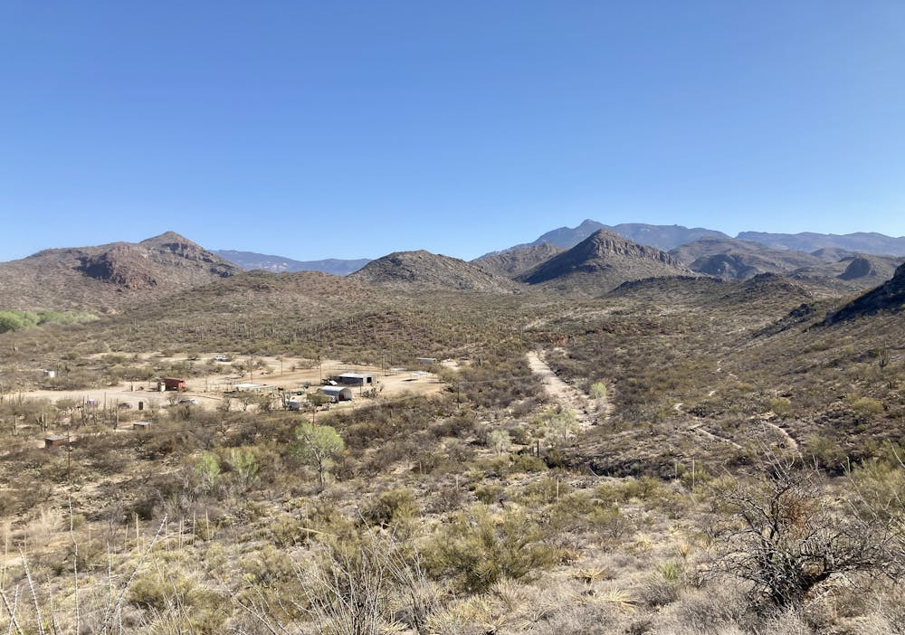
As you swing around the side of Pistol Hill, the trail begins rolling up and down slightly larger hills, and soon you'll drop into Colossal Cave Park.
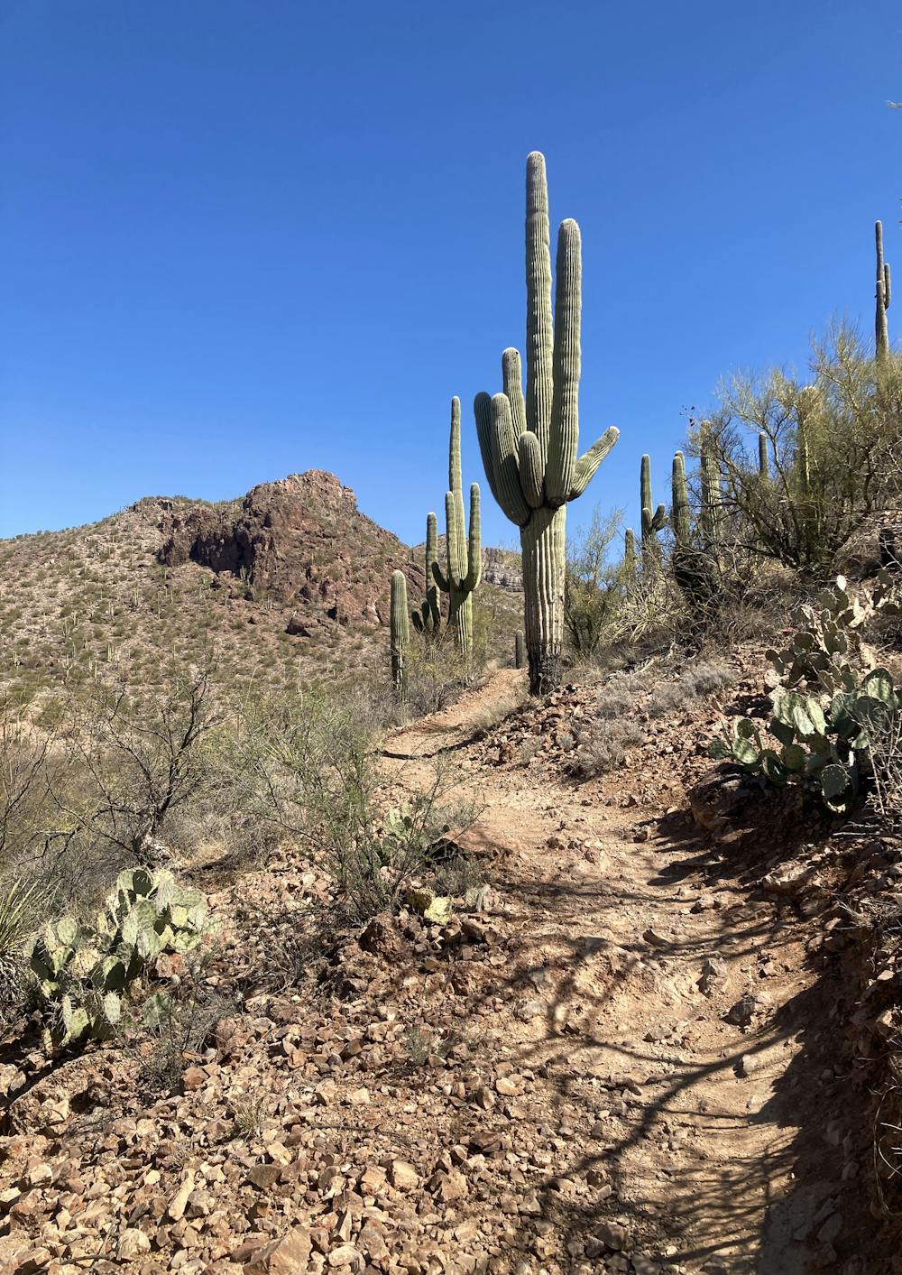
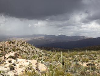
Colossal Cave is the focal point of the ride, with beautiful mountain views, towering Saguaro cacti, and more technical sections of riding along the Arizona Trail. However, note that Colossal Cave is home to a horse stable, and the trails here are exceedingly popular with equestrian users. Be sure to ride heads-up and always yield the trail to equestrians.
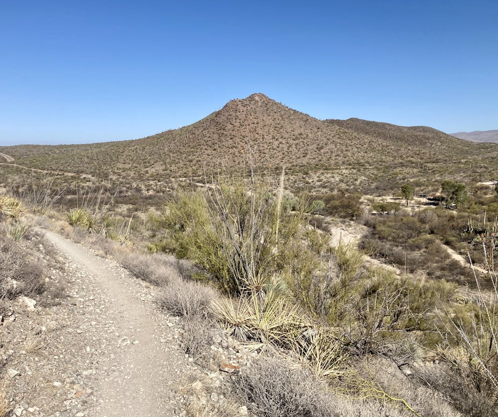
In Colossal Cave park, you'll gain most of the elevation on this loop, climbing up to a low pass in the mountain range to the north on somewhat rocky trails. While the climb is somewhat rocky, the descent off the top of the pass is much less so. You'll slowly swoop down flowy singletrack through the desert, taking a left off of the AZT to return to the State Trust Land. The loop wraps up on the same flowy, non-technical trails to return you to the trailhead.
Note that if you want to extend this route into a much longer endurance ride, you can head either north or south on the Arizona Trail from the far reaches of this loop.