3.6 km away
Campbell Mesa

An elaborate trail system near Flagstaff loaded with views, wildlife, and plenty of wildflowers.
Easy Mountain Biking
- Distance
- 13 km
- Ascent
- 146 m
- Descent
- 146 m
A beautiful ride along the AZT in Walnut Canyon loaded with views.
Mountain Biking Moderate

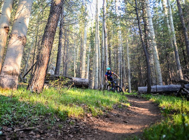
This section of the Arizona Trail awards stunning views, remote singletrack, and a relaxing ride that hugs the contours of Walnut Canyon. As an out-and-back, you have the option to leave your bike along the trail and hike to three defined side trails to impressive views of the canyon during your ride, Fisher Point being the furthest. As the ride traces the rim of the canyon, it's also an excellent place to enjoy the sunrise or sunset, depending on which overlook you make it to.
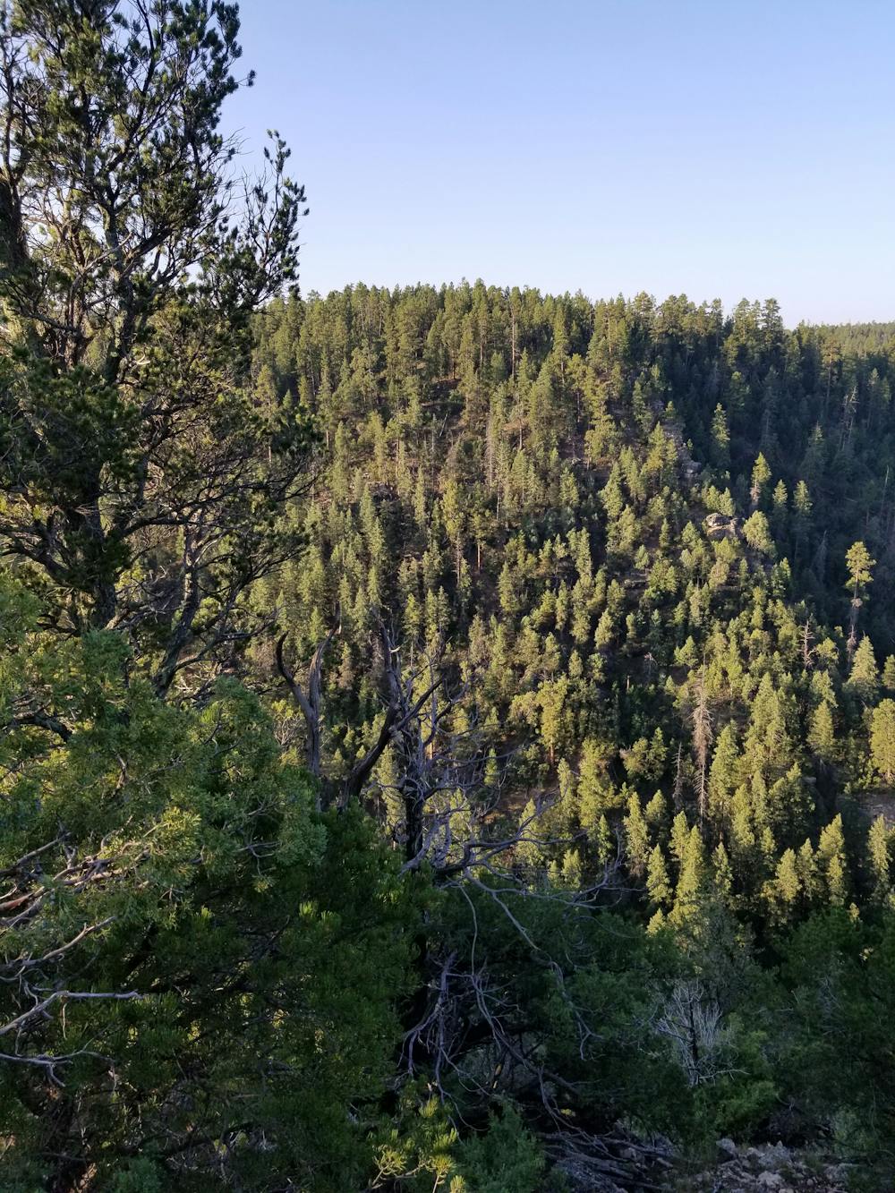
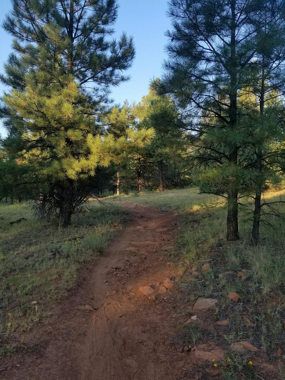
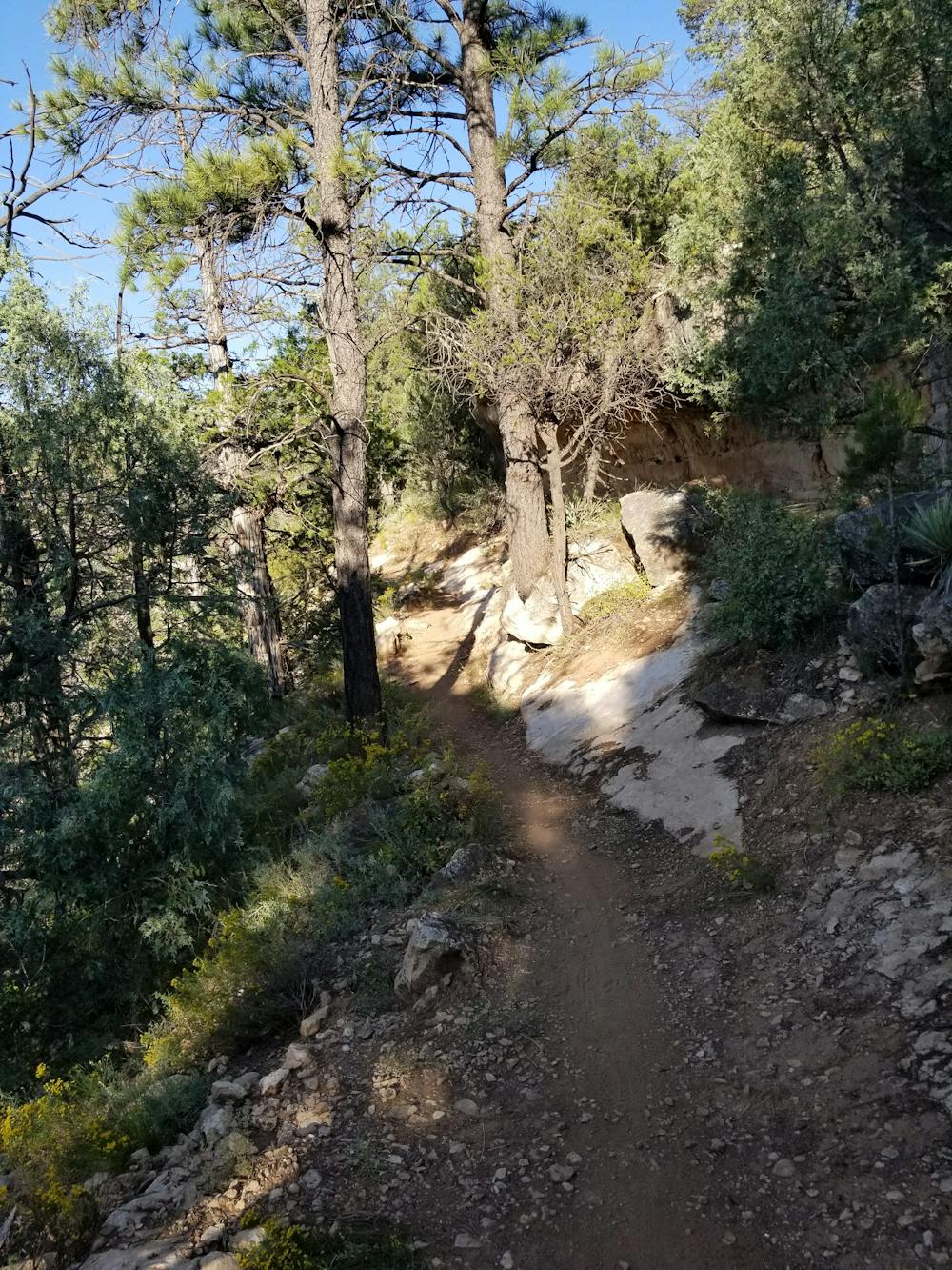
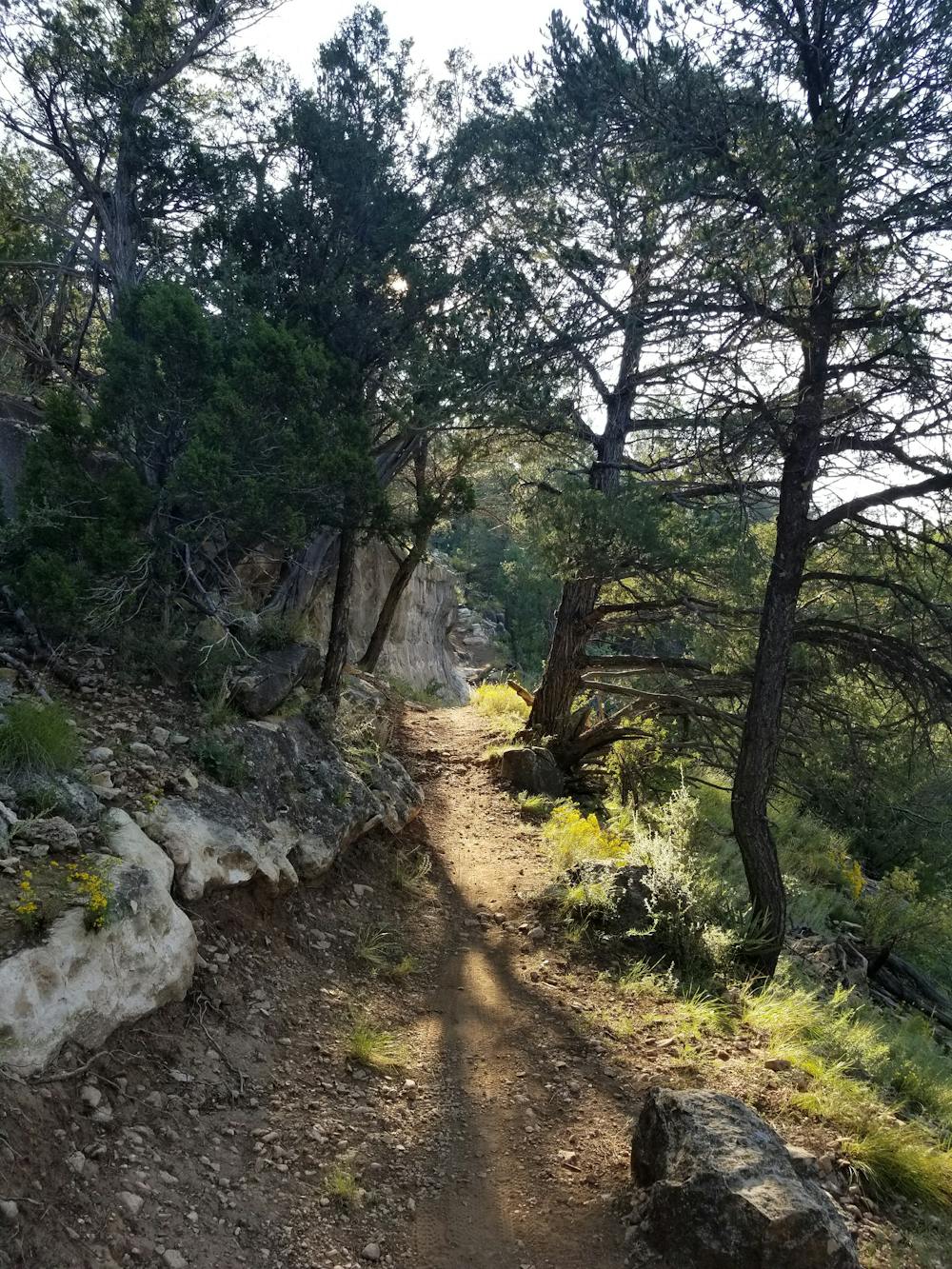
Compared to most rides in the region, this section of the AZT is relatively flat and contains no major climbs. What elevation change there is, is both gradual and non-technical, making it a perfect place to head for a relaxing spin, even if you don't plan to hit all 15 miles. The trail is entirely singletrack, weaving in and alongside the canyon walls, offering frequent views down to the river.
While not viewed on this ride, the eastern half of Walnut Canyon is home to "25 cliff dwelling rooms constructed by the Sinagua, a pre-Columbian cultural group that lived in Walnut Canyon from about 1100 to 1250 AD," this source notes. There are multiple trails to view the structures within the Walnut Canyon National Monument, but none are immediately accessible via the AZT or by bike.
If you're coming from the north, the trailhead for this run is located on Old Walnut Canyon Road, just a short drive from Interstate 40 and just as close to town. The large trailhead is primitive and has no water or restrooms, but the unpaved parking area is large enough for horse trailers and larger vehicles.
Moderate
Mostly stable trail tread with some variability, with unavoidable obstacles 8in/20cm tall or less. Other obstacles such as rock gullies and steep sections may exist. Ideal for lower intermediate riders.

The trail contains some obstacles such as outcroppings and rock which could cause injury.

Little chance of being seen or helped in case of an accident.
3.6 km away
An elaborate trail system near Flagstaff loaded with views, wildlife, and plenty of wildflowers.
Easy Mountain Biking
7 routes · Mountain Biking