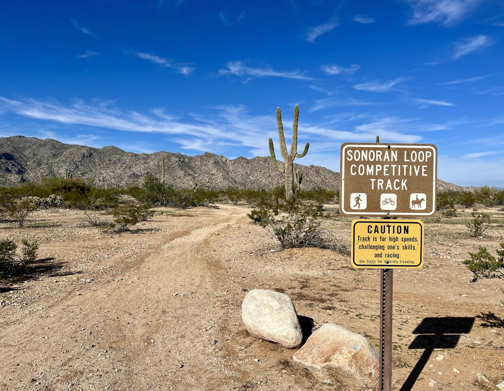
Sonoran Loop Competitive Track
The more technical version of this one-way bike-only trail ride.
Difficult Mountain Biking
- Distance
- 11 km
- Ascent
- 173 m
- Descent
- 173 m
The easier version of this one-way bike-only trail.
Mountain Biking Moderate

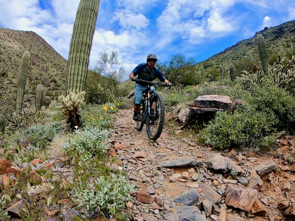
The Sonoran Loop Competitive Track is one of Maricopa County's dedicated XC mountain bike race tracks. It's encouraging to see a county with such spectacular parks fully embrace competitive mountain biking in this way. This acceptance of mountain biking is due in part to the long, rich mountain bike history in Phoenix, Arizona.
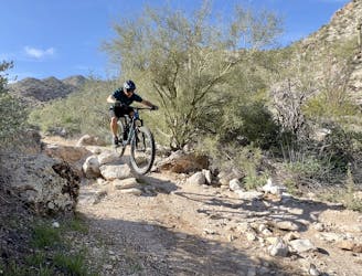
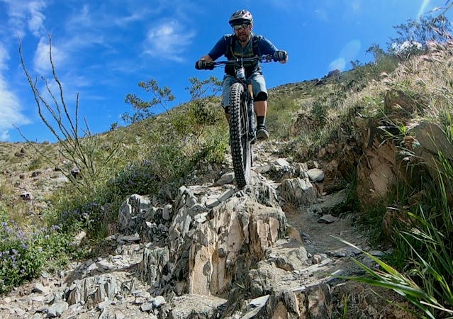
Even though this one-way high-speed mountain bike loop is a pretty cool concept, this track, in particular, isn't the best mountain bike ride as of the time of this writing in early 2023. Sections of the track are very eroded and rubbly, and it could use substantial maintenance. Even so, this is an accessible intermediate-friendly ride that will challenge intermediates to improve their rock garden skills.
The majority of this route is fast, straight, and rips straight down and straight back up a series of steep-sided washes. In classic cross-country style, it's very easy to go anaerobic on these short, steep climbs. In some spots, wide sections of trail make for easy passing during races but a less beautiful experience when pedaled solo.
The route, as mapped, bypasses two technical sections of trail in order to provide a more intermediate-friendly ride. To add in these technical sections, see the standard "Sonoran Competitive Track Loop" route, mapped separately.
This route has been given a "Moderate" technical difficulty rating, although some of the descents into the steep-sided washes may temporarily exceed this rating. The technicality of these descents is mostly due to erosion and lack of maintenance. Hopefully, this track will be cleaned up and better maintained in the future.
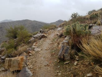
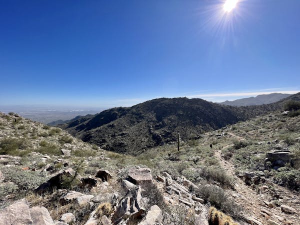
The wrap-up on the eastern side of the loop is much more mellow, and you'll flow quickly back toward the trailhead.
Moderate
Mostly stable trail tread with some variability, with unavoidable obstacles 8in/20cm tall or less. Other obstacles such as rock gullies and steep sections may exist. Ideal for lower intermediate riders.

The path is on completely flat land and potential injury is limited to falling over.

Away from help but easily accessed.
The more technical version of this one-way bike-only trail ride.
Difficult Mountain Biking
2.4 km away
One of the most technical and most remote rides in the Phoenix Metro Area.
Extreme Mountain Biking
4 routes · Mountain Biking
10 routes · Mountain Biking
6 routes · Mountain Biking · Hiking · Trail Running