181 m away
Romero Pools
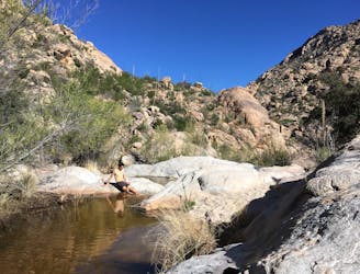
Run to a seasonal collection of beautiful pools and waterfalls.
Difficult Trail Running
- Distance
- 8.4 km
- Ascent
- 400 m
- Descent
- 400 m
Run one of Tucson's most renowned stretches of singletrack.
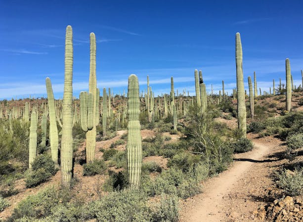
Trail Running Moderate

The 50-Year Trail is a classic Tucson singletrack route that’s long been popular with mountain bikers, hikers, and equestrians. While shorter loop options are available by starting at Golder Ranch, if you want to experience the entire 50-Year Trail, you’ll have to start further south at Catalina State Park.
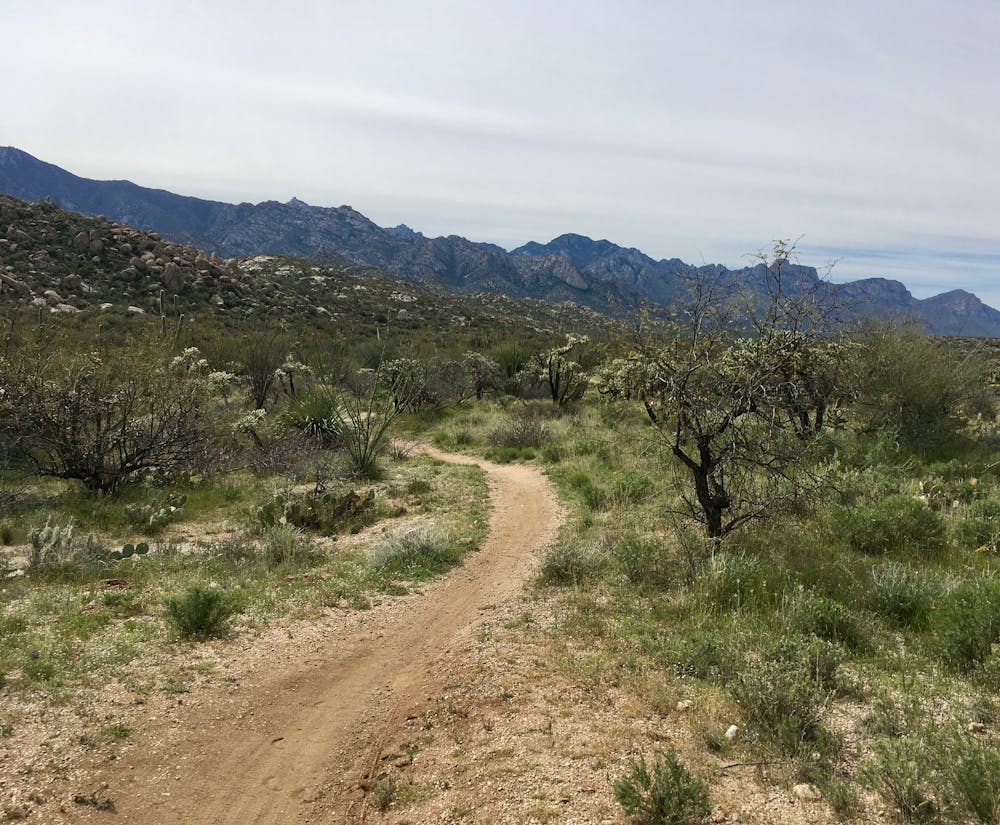
The route as mapped forms a 19.5-mile out-and-back with a short loop at the end. It’s possible to lengthen this run even further by climbing higher up the Around the Mountain trail and then dropping back down on either the Rattlesnake Trail or Cowboy Slickrock.
However you choose to slice and dice the route, you’re in for a true gem of Tucson singletrack! The run begins with a long stretch of mellow, relatively non-technical singletrack in the state park. After a short climb, you’ll gain a low ridge and traverse the ridge for several miles, before reaching Golder Ranch itself. As a friendly reminder, know that "this area IS multi-use and gets a lot of equestrian traffic." SDMB.org advises that mountain bikers "be conscious of your riding and yield… STOP and let the equestrian riders go by. They’re all nice folks and we’re all out to enjoy these fantastic trails together." And the advice serves equally as well for runners and hikers.
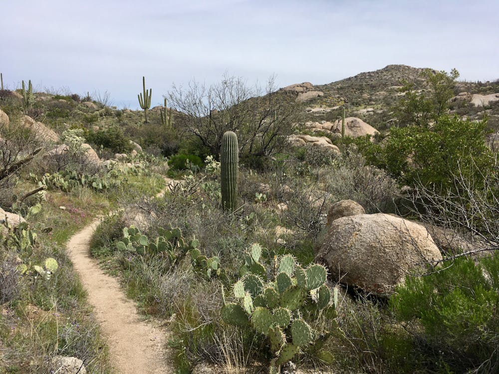
After running through flowy, swoopy singletrack for a few miles, the trail character changes abruptly. When you reach the loop portion of the route, the trail transforms into a steep, rocky singletrack that climbs into the hills above Golder Ranch. This is also where you have the option to extend your run, if you desire.
After completing a loop of your desired length in Golder Ranch, turn around and return to Catalina State Park the way you came. If you’d prefer to shorten this route instead of lengthening it, you could use two cars, staging one at Catalina and one at Golder for a point-to-point route, or other variant.
Sources: https://www.sdmb.org/trails/golder-ranch/ https://www.mountainbikebill.com/AZ07Tucson50YR.htm
Moderate

The path is on completely flat land and potential injury is limited to falling over.

Away from help but easily accessed.
181 m away
Run to a seasonal collection of beautiful pools and waterfalls.
Difficult Trail Running
239 m away
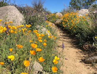
Experience the brilliance of poppies in the springtime on the Sutherland Trail.
Easy Trail Running
7 routes · Hiking · Trail Running