64 m away
Sutherland Trail Out-and-Back
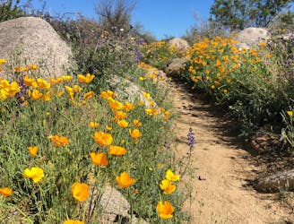
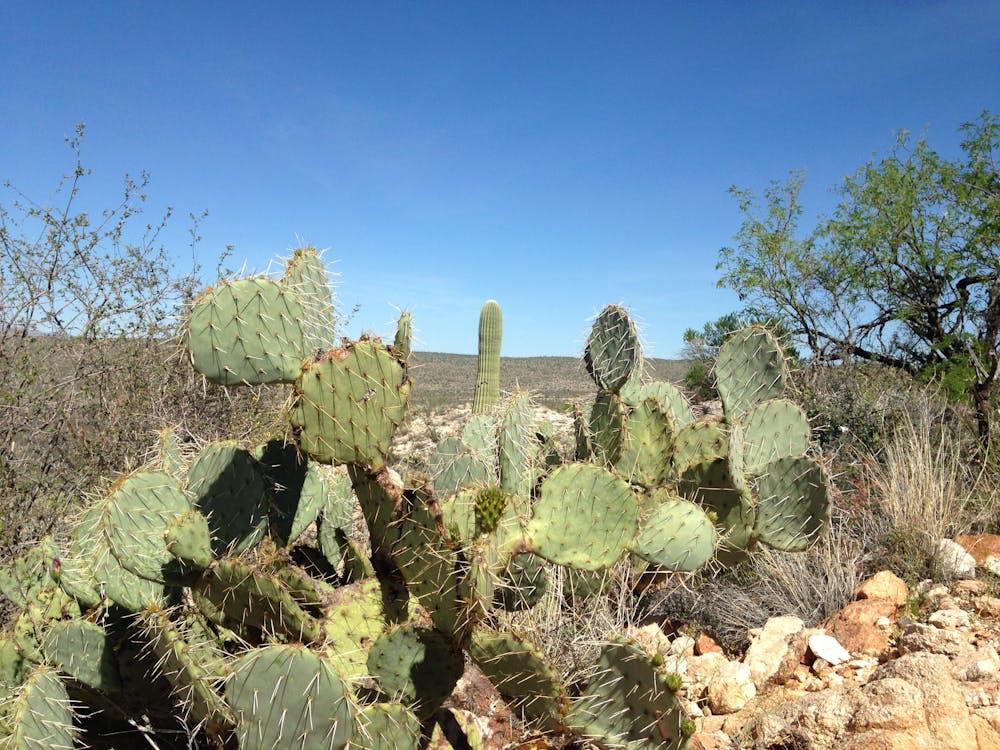
Experience the brilliance of poppies in the springtime on the Sutherland Trail.
Easy Trail Running
- Distance
- 8.5 km
- Ascent
- 223 m
- Descent
- 223 m
Run to a seasonal collection of beautiful pools and waterfalls.
Trail Running Difficult

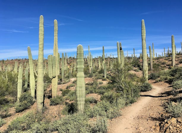
The route up Romero Canyon to the Romero Pools and associated waterfalls is one of the most popular hiking trails in the greater Tucson area. "Montrose Pools and Romero Pools are shallow catchments on canyon streams that flow seasonally," according to AZStateParks.com. When the catchments are full, the pools are popular swinging holes, with great cliff jumping opportunities off the overhanging rocks.
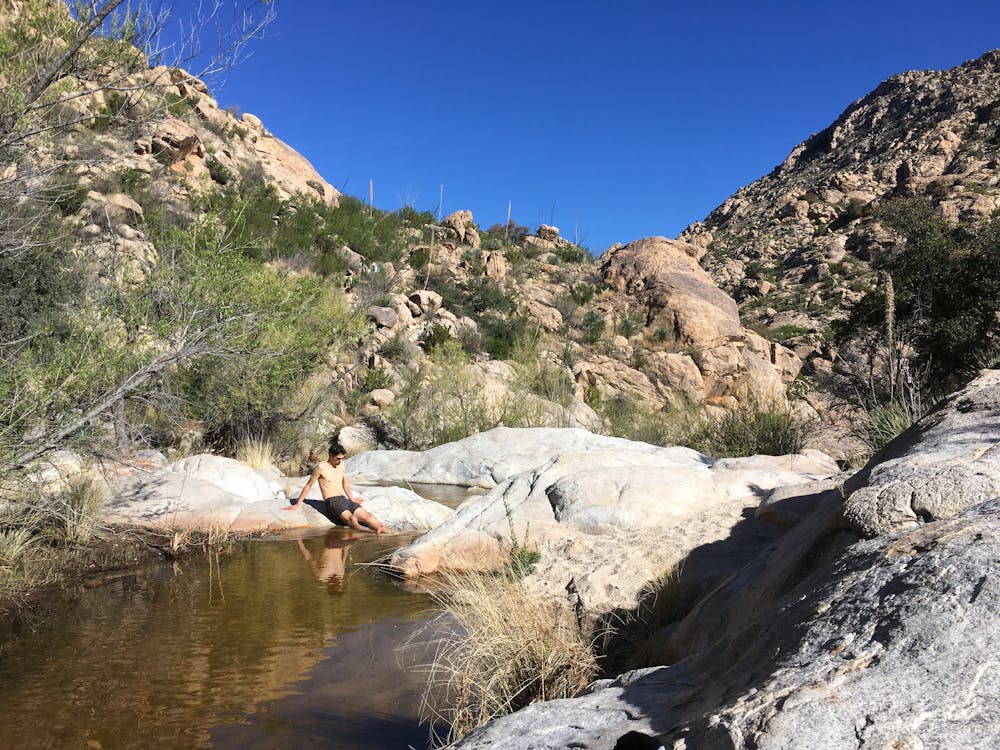
The run to the pools gets progressively more difficult the further you go on. "The first 1.1 miles is a relatively flat and an easy walk," according to Dofo Salazar on TheOutbound.com.
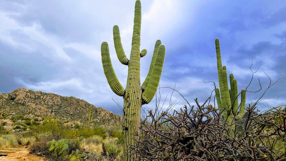
After crossing out of the park boundary and into the Pusch Ridge Wilderness Area, the trail transforms into a much rougher, "unmaintained wilderness trail," according to AZStateParks. "The next 1.7 miles is a steep and rocky climb to Romero Pools. Poor trail conditions might be encountered," they warn. The rugged trail climbs through craggy rock outcroppings as it heads deep into the Santa Catalina Mountains.
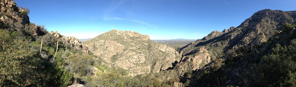
The run to Romero Pools measures 2.8 miles one-way, and the downhill return is much easier. If you're looking for a true challenge, you can continue all the way to Romero Pass, which is 7.7 miles one-way from the trailhead. Be forewarned: there's no easier way to return than the trail you climbed up, so you must be prepared for a long day in the mountains.
Sources: https://azstateparks.com/catalina/things-to-do/trails https://www.theoutbound.com/arizona/hiking/hike-to-the-romero-pools https://www.gjhikes.com/2014/07/romero-pools.html
Difficult

The trail contains some obstacles such as outcroppings and rock which could cause injury.
Away from help but easily accessed.
64 m away
Experience the brilliance of poppies in the springtime on the Sutherland Trail.
Easy Trail Running
181 m away
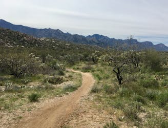
Run one of Tucson's most renowned stretches of singletrack.
Moderate Trail Running
7 routes · Hiking · Trail Running