3.7 km away
Flagstaff Loop
An ever-evolving and ultimate circuit of Flagstaff via trails, roads, and urban pathways.
Moderate Trail Running
- Distance
- 72 km
- Ascent
- 1.1 km
- Descent
- 1.1 km
A long trail run with multiple viewpoints looking into the beautiful Walnut Canyon.
Trail Running Moderate

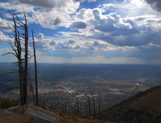
This trail run along the Arizona Trail explores several stunning overlooks and remote singletrack along the edge of Walnut Canyon. As an out-and-back, there are two defined side trails that lead to impressive views of the canyon as you run, and the furthest point is the iconic Fisher Point Overlook, where you'll enjoy spectacular views over a large bend in the river. As the run traces the rim of the canyon, it's also an excellent place to enjoy the sunrise or sunset, depending on which overlook you make it to.
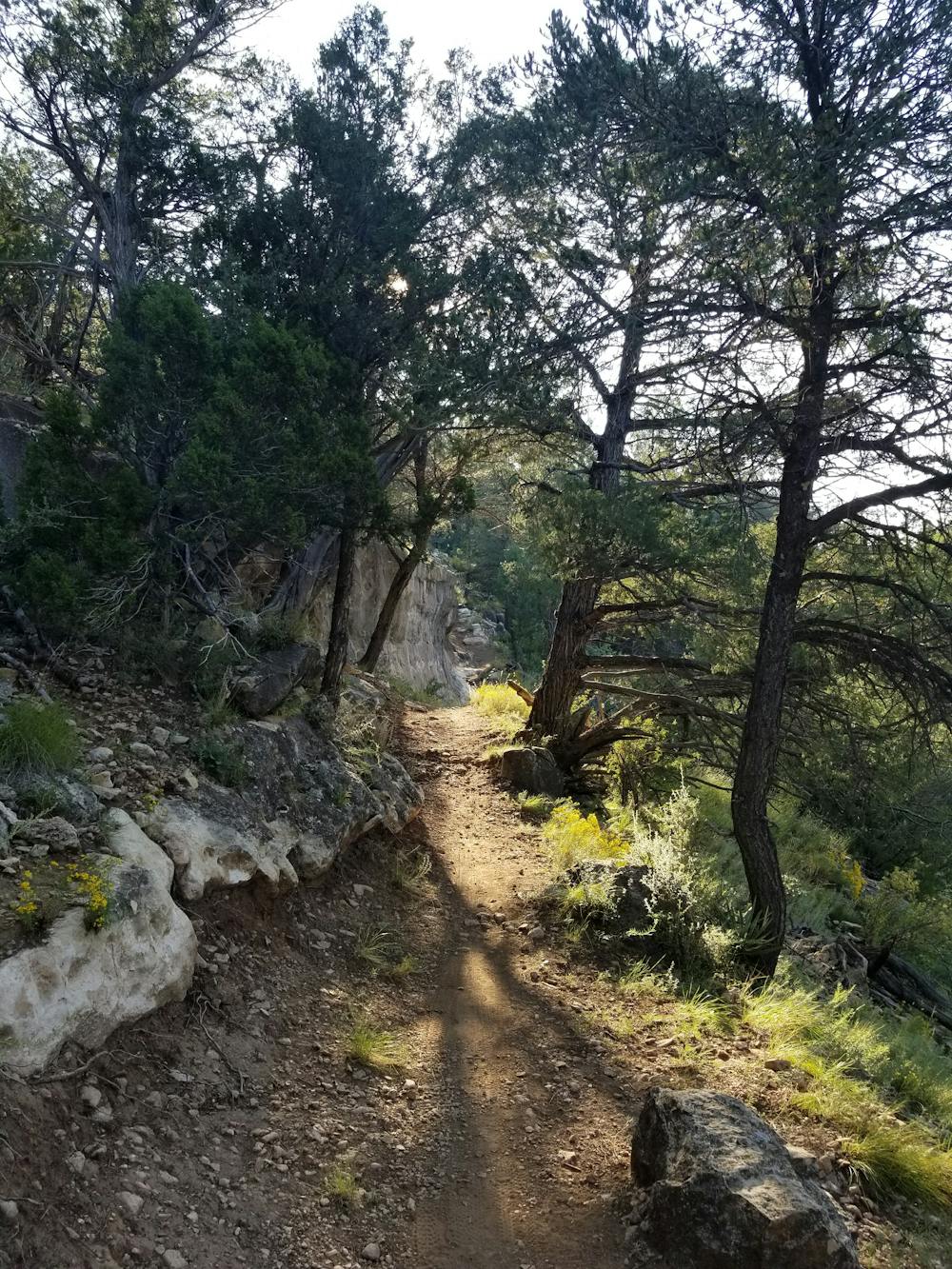
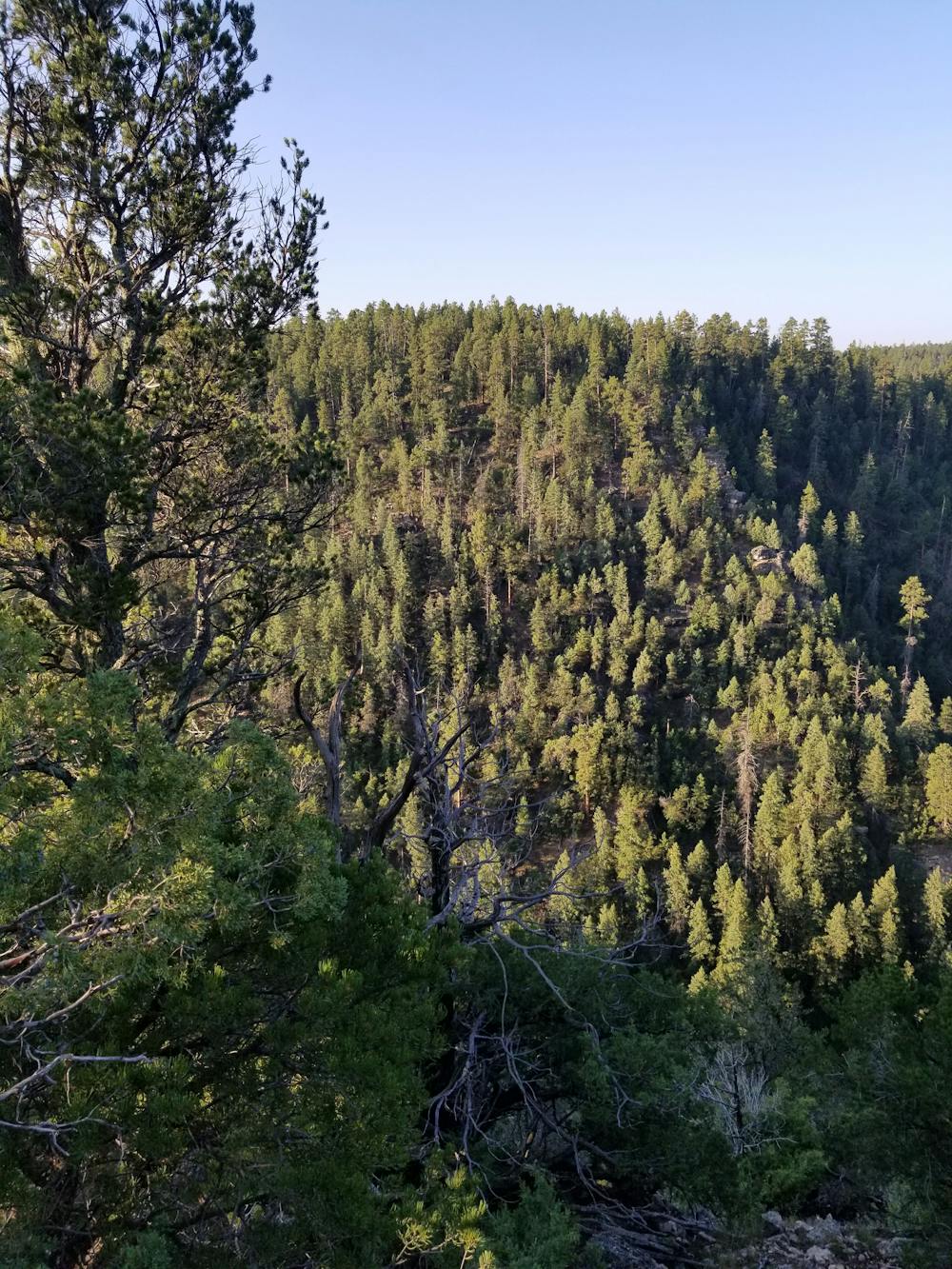
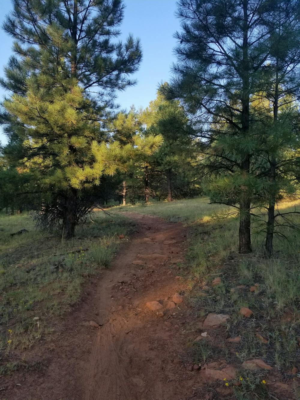
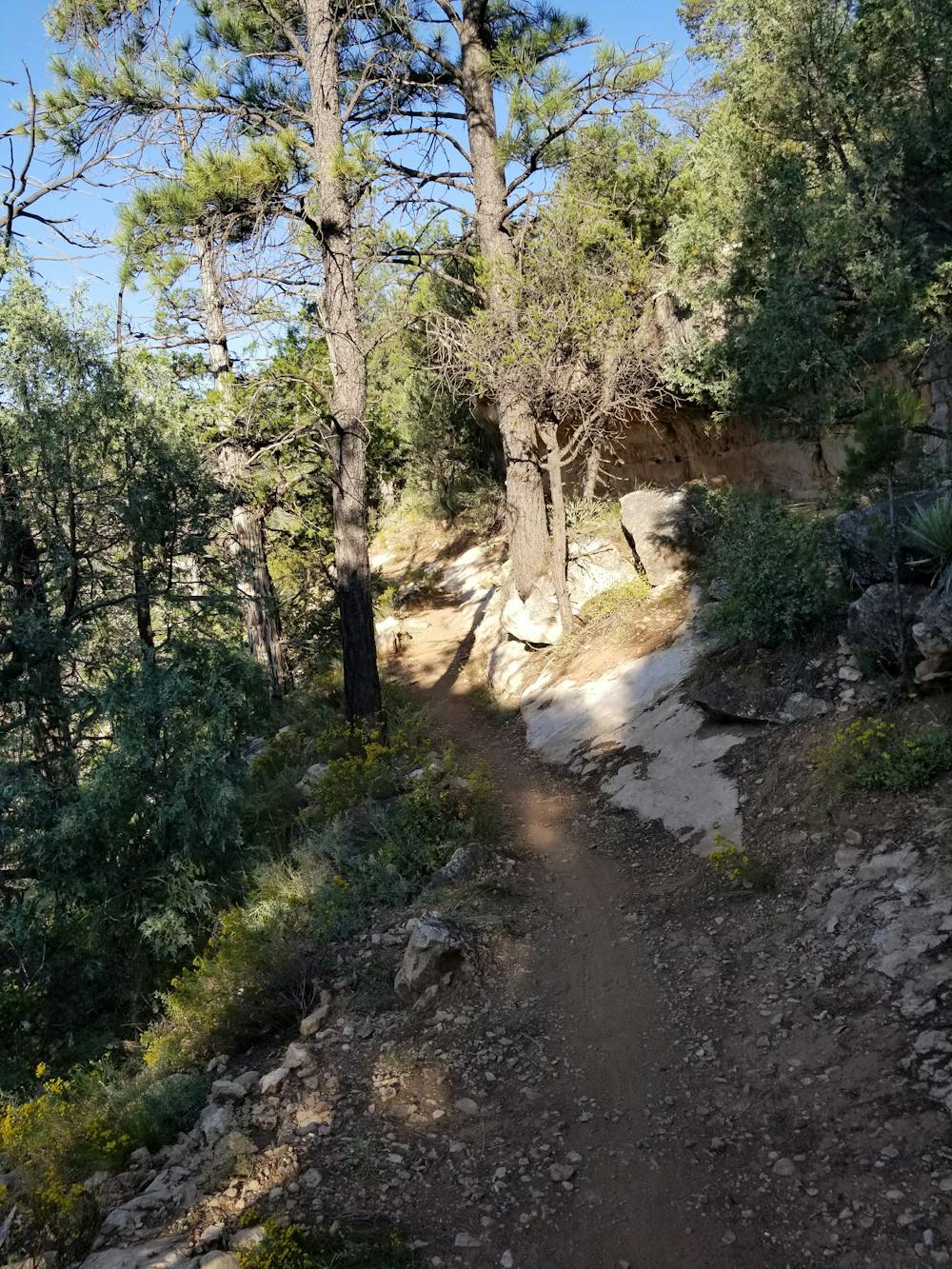
Compared to most long runs in the area, this section of the AZT is relatively flat and contains no major climbs. What elevation change there is, is both gradual and non-technical, making it a perfect place to head for a run, even if you don't plan to hit all 15 miles. The trail is entirely singletrack, weaving in and alongside the canyon walls, offering frequent views down to the river.
While not seen on this run, the eastern half of Walnut Canyon is home to "25 cliff dwelling rooms constructed by the Sinagua, a pre-Columbian cultural group that lived in Walnut Canyon from about 1100 to 1250 AD," this source notes. There are multiple trails to view the structures within the Walnut Canyon National Monument, but none are immediately accessible via the AZT.
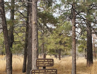
If you're coming from the north, the trailhead for this run is located on Old Walnut Canyon Road, just a short drive from Interstate 40 and just as close to town. The large trailhead is primitive and has no water or restrooms, but the unpaved parking area is large enough for horse trailers and larger vehicles.
Moderate

The trail contains some obstacles such as outcroppings and rock which could cause injury.
Away from help but easily accessed.
3.7 km away
An ever-evolving and ultimate circuit of Flagstaff via trails, roads, and urban pathways.
Moderate Trail Running
7 km away
A long run linking Elden and Little Elden just minutes from town.
Difficult Trail Running
10 routes · Trail Running