1 m away
Hermit Trail
A lesser-visited path to the Colorado River, often chosen for shorter out-and-back runs.
Difficult Trail Running
- Distance
- 27 km
- Ascent
- 1.7 km
- Descent
- 1.7 km
An out-and-back trail run to a year-round spring.
Trail Running Difficult

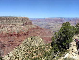
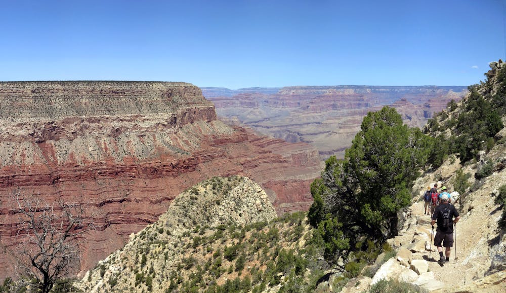
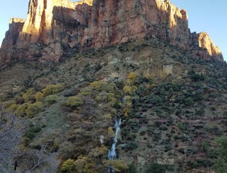
Starting at Hermits Rest, this out-and-back run visits a reliable spring located in a quiet alcove of sandstone cliffs. Breathtaking views of the dramatic red rock landscape are abundant throughout the run, and the spring welcomes runners with plenty of shade on a hot summer day.
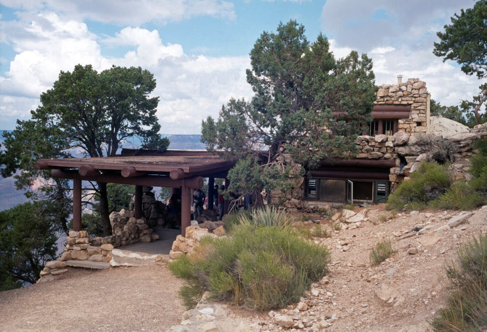
Drinking water, restrooms, and a cafe make the developed trailhead ideal to stage a run. The Grand Canyon also offers a free shuttle to Hermits Rest from the Grand Canyon Village and Visitor Center. Check the latest schedule here.
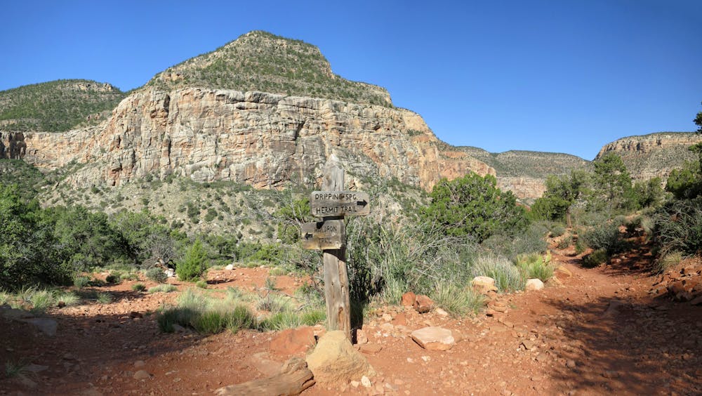
This run starts the same as the Hermit Trail, and even follows its briefly to a trail junction within the canyon. After a steep descent, keep left on the Dripping Springs Trail to head to its namesake feature.
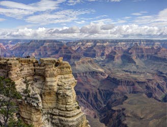
"The path is the only major Grand Canyon South Rim route that does not descend to the river or meet the Tonto Trail," according to The American Southwest. That said, there are plenty of options for longer runs by way of the Hermit or Boucher Trails that lead deeper into the canyon.
Source: https://www.americansouthwest.net/arizona/grandcanyon/dripping-spring-trail.html
Difficult
1 m away
A lesser-visited path to the Colorado River, often chosen for shorter out-and-back runs.
Difficult Trail Running
6 km away
An internationally-recognized trail run through the United State's largest canyon.
Severe Trail Running
9.1 km away
An easy running tour of the South Rim with campground access, restrooms, and drinking water available.
Easy Trail Running
11 routes · Trail Running