2.4 km away
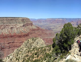
South Kaibab-Tonto-Bright Angel

A epic trail run that can be shuttled or completed as a loop utilizing the South Rim Trail.
Difficult Trail Running
- Distance
- 21 km
- Ascent
- 1.1 km
- Descent
- 1.2 km
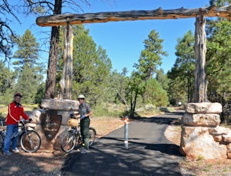
An easy running tour of the South Rim with campground access, restrooms, and drinking water available.
Trail Running Easy
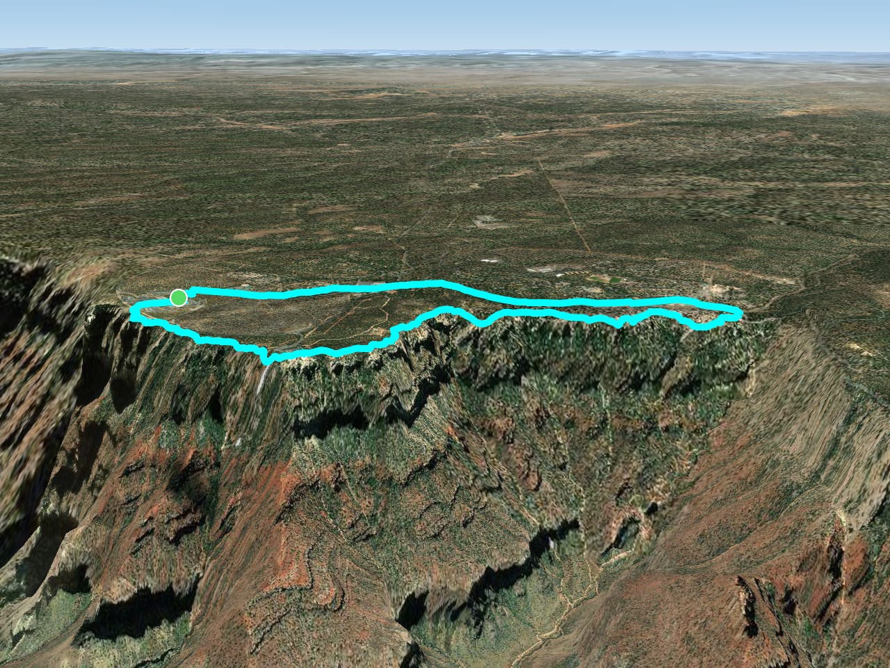
Less than 6 miles, this loop pairs the Village Greenway and South Rim Trails, awarding runners with breathtaking views of the Grand Canyon's dramatic landscape. Whether you're staying at a campground or visiting for the day, this route is a versatile option for anyone looking to get some exercise on their visit.
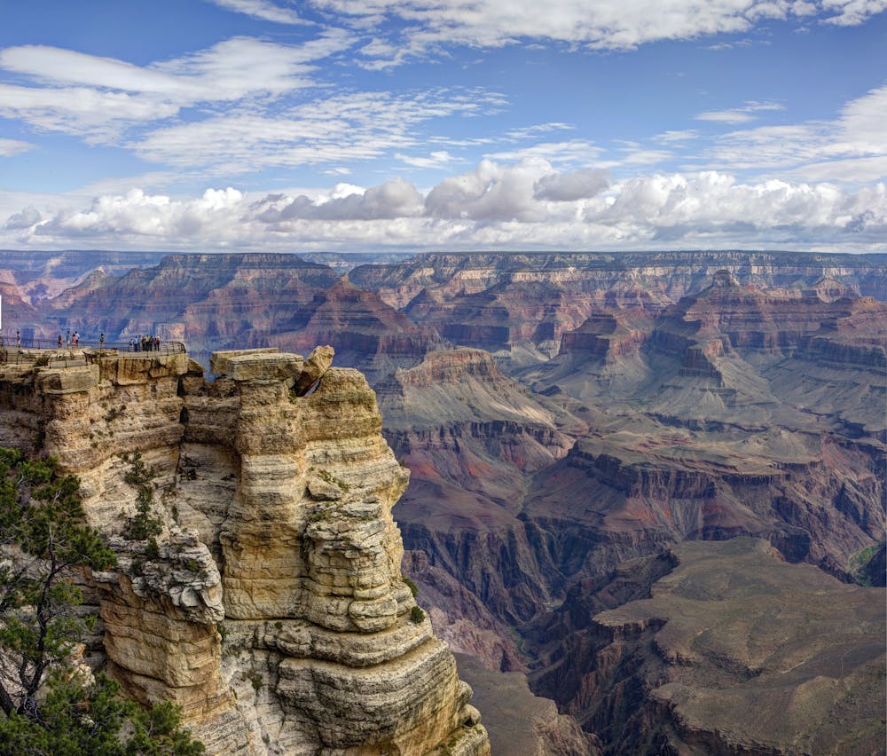
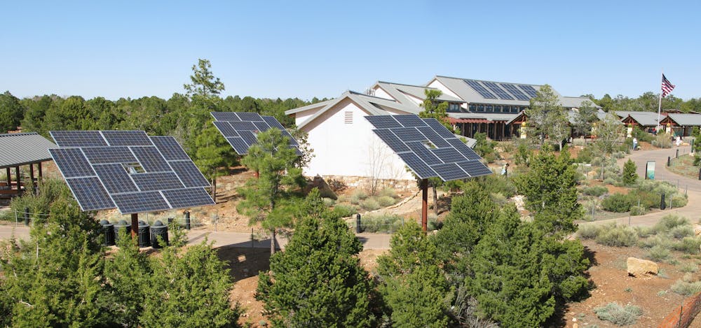
Compared to the rugged Bright Angel and South Kaibab Trails that lead north into the canyon, this loop is almost entirely flat. The path is mostly paved, though some sections are comprised of dirt and crushed gravel. Runners should also consider this loop early in the morning to experience the sunrise as it illuminates the vibrant red rock landscape.
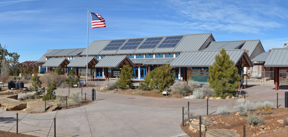
Run clockwise, the loop begins at the Visitor Center and follows the greenway west, then returns along the South Rim. You could also reverse the loop or do an out-and-back on the South Rim Trail for some quick views from Mather and Yavapai Points.
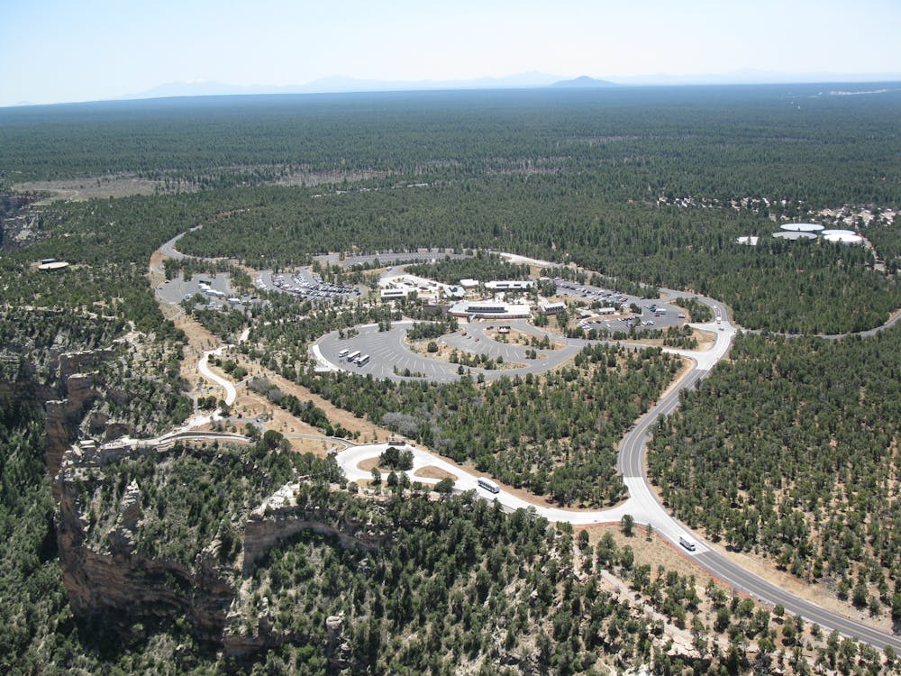
Water and restrooms are available at both the Visitor Center and throughout Grand Canyon Village. Alternatively, bring some money along for a snack and drink from one of the park's concessionaires.
Sources: https://www.nps.gov/grca/learn/news/2010-10-22greenwayv.htm
Easy

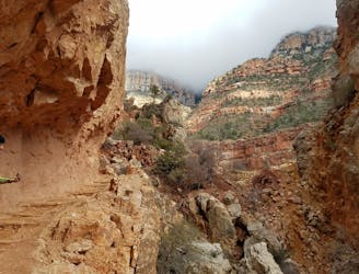
The trail contains some obstacles such as outcroppings and rock which could cause injury.

Close to help in case of emergency.
2.4 km away
A epic trail run that can be shuttled or completed as a loop utilizing the South Rim Trail.
Difficult Trail Running
2.4 km away
An internationally-recognized trail run through the United State's largest canyon.
Severe Trail Running
2.4 km away
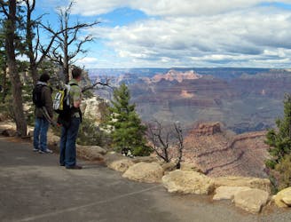
An easy trail traversing the South Rim of the Grand Canyon.
Moderate Trail Running
3.2 km away
An internationally-recognized trail run through the United State's largest canyon.
Severe Trail Running
9.1 km away
A developed Greenway Trail connecting the town of Tusayan to the South Rim Visitor Center.
Easy Trail Running
9.1 km away

A lesser-visited path to the Colorado River, often chosen for shorter out-and-back runs.
Difficult Trail Running
9.1 km away
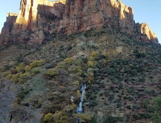
An out-and-back trail run to a year-round spring.
Difficult Trail Running

11 routes · Trail Running

17 routes · Hiking · Trail Running
10 routes · Trail Running