7.6 km away
Mount Elden Circuit
A long run linking Elden and Little Elden just minutes from town.
Difficult Trail Running
- Distance
- 20 km
- Ascent
- 936 m
- Descent
- 936 m
A long and wild trail run alongside some of Arizona's highest peaks.
Trail Running Difficult

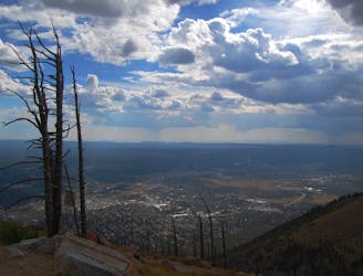
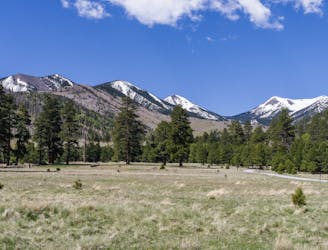
This circuit is one of the best options for a long, adventurous trail run near Flagstaff. Nearly 22-miles with over 5000-feet of vertical gain, you'll tour aspen groves, dramatic cliffs, and rolling meadows - all while enjoying frequent views of town and the surrounding San Francisco Peaks. Nearly all of the circuit is located within a designated wilderness area, so plan to carry all of your water and food, and be sure to tell someone of your plans prior to your run. It would also be wise to download an offline map to your phone, or to follow the GPS track from your preferred device since cell reception can be limited at times.

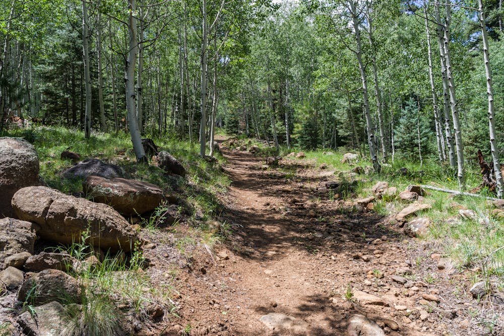
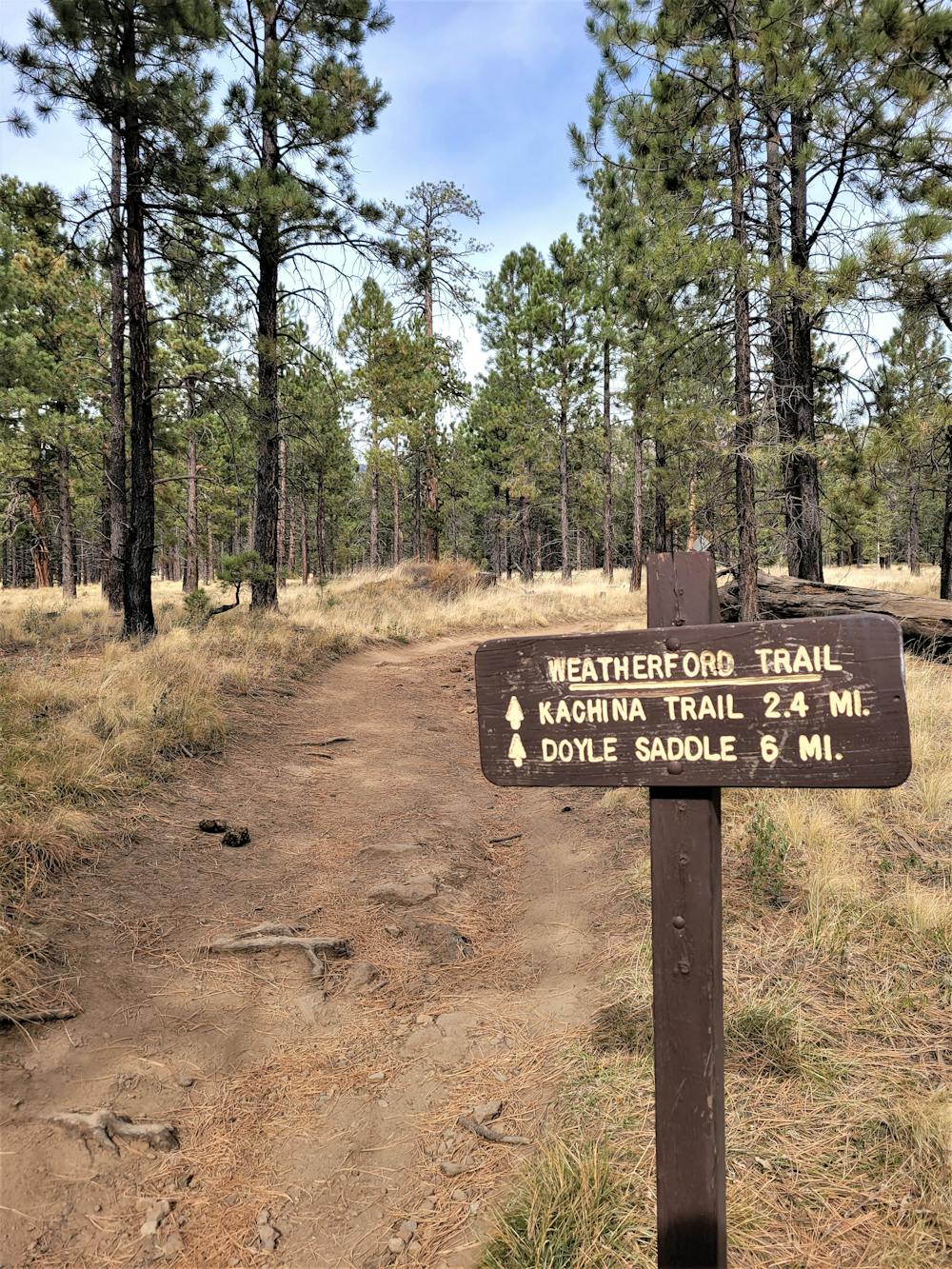
This run begins at a major trailhead on Schultz Pass Road near Schultz Tank. The trailhead is primitive and remote, and there are no amenities available nearby. Begin the loop by following the Weatherford Trail across the road from the parking lot until you reach the junction with the Kachina Trail.
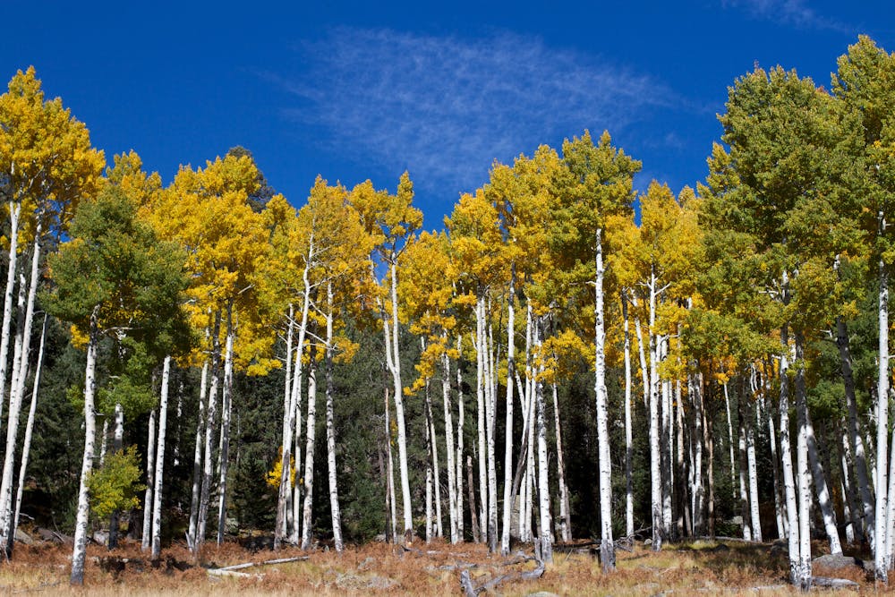
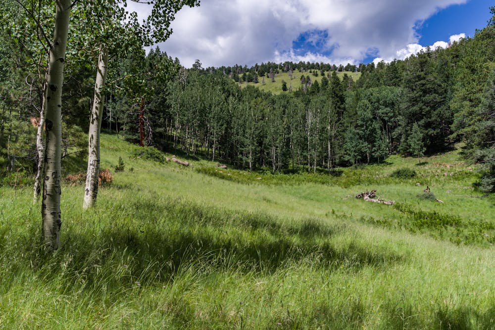
Touring the southern slopes of Agassive Peak, the Kachina Trail is defined by old-growth limber pine and Douglas-firs at the highest elevations, with ponderosa, aspen, and juniper defining the mountain's main slopes. Seas of bracken fern paint the hillsides green, and the mountain's volcanic past is clearly visible as the trail descends a high lava cliff. According to the USFS, "a dramatic, cave-like recess in the lava marks where a bed of looser volcanic debris eroded away from denser flow layers above," and the andesite boulders near the trail's upper end found their resting site nearly 600,000 years ago.
The virtual halfway point for this route is at the Snow Bowl, though the facilities are only open from November through the spring when the snow is typically too abundant to enjoy a run of this difficulty. Should you have two vehicles available, the Kachina Trail can be shuttled by itself and is considered one of the more popular trails in the area per the Forest Service.
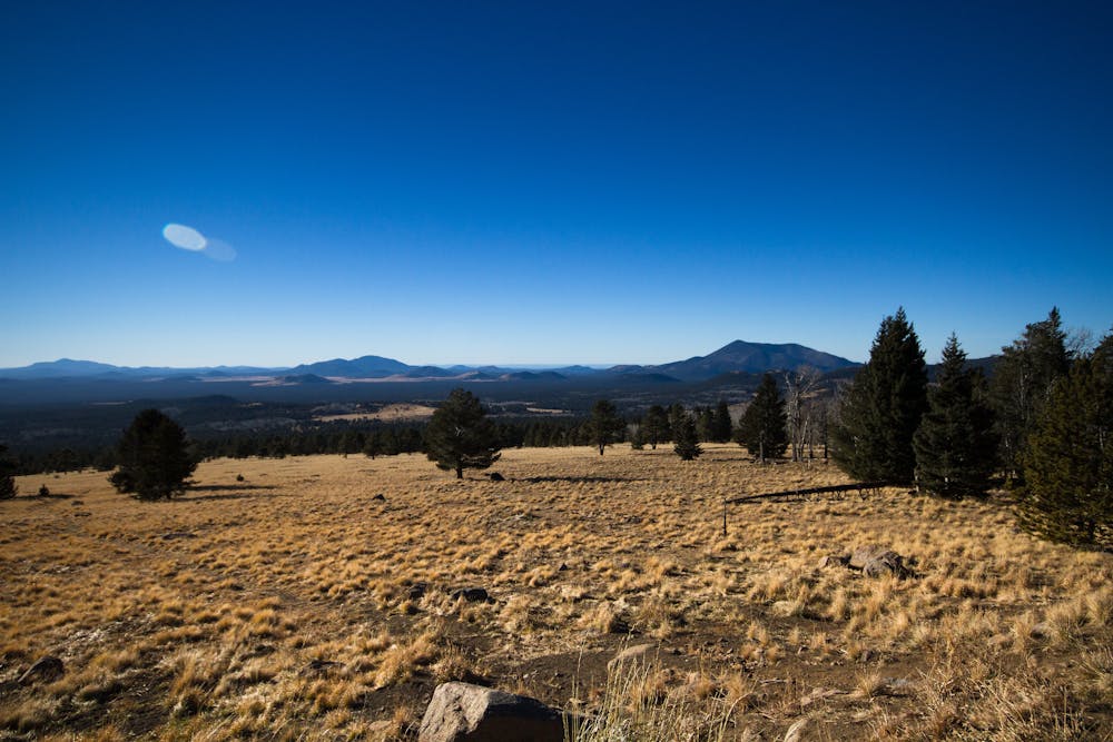
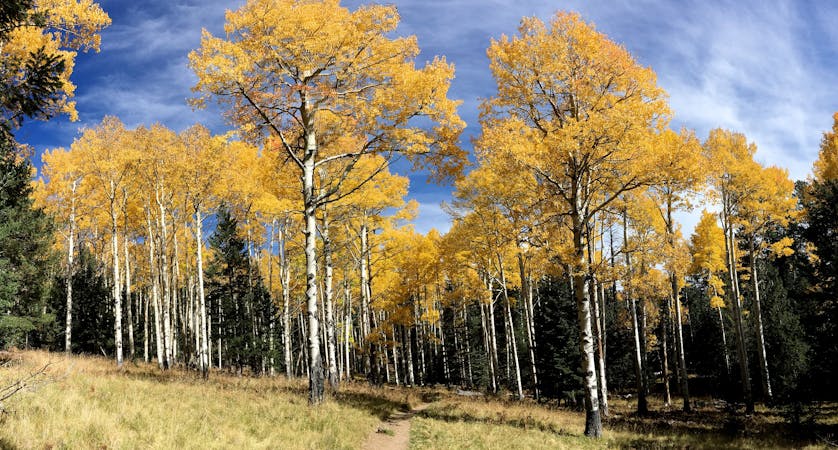
If you run this route clockwise, the return trip follows the Weatherford Trail into even higher elevations. You'll notice a transition into the alpine terrain, which tends to be dominated by limber pine, corkbark fir, and bristlecone pine. If your goal is to enjoy the fall colors, particularly the golden aspens, plan this run earlier in the fall since the colors tend to appear sooner than anywhere else due to the range's prominence.
In addition to the diversity of flora and fauna, elk, mule deer, and cougars all reside in the area, though the latter are rarely seen to their nocturnal habits. Black bears also favor wild edibles such as berries that appear during summer's peak. Bull elk, wild turkey, blue grouse, and unique birds can also be found at the highest elevations along the Weatherford Trail.
Source: https://www.fs.usda.gov/recarea/coconino/recarea/?recid=55112
Difficult

Some trail sections have exposed ledges or steep ascents/descents where falling could cause serious injury.
Little chance of being seen or helped in case of an accident.
7.6 km away
A long run linking Elden and Little Elden just minutes from town.
Difficult Trail Running
7.8 km away
A short and beautiful trail run from Lockett Meadow known for its wildflowers and potential to view wildlife.
Moderate Trail Running
9.2 km away
Tackle this challenging sub-10-mile trail run to the highest peak in Arizona.
Difficult Trail Running
10 routes · Trail Running