Boston Mountain Trail
The BMT has 13 plus miles of flowy singletrack that routes cyclists through dense Ozark forests and over rolling hillsides.
Mountain Biking Difficult
- Distance
- 16 km
- Ascent
- 341 m
- Descent
- 341 m
- Duration
- 1-2 hrs
- Low Point
- 283 m
- High Point
- 439 m
- Gradient
- 3˚

The Boston Mountain Trail has 13 plus miles of flowy singletrack that routes cyclists through dense Ozark forests and over rolling hillsides.
- •
- •
- •
Description
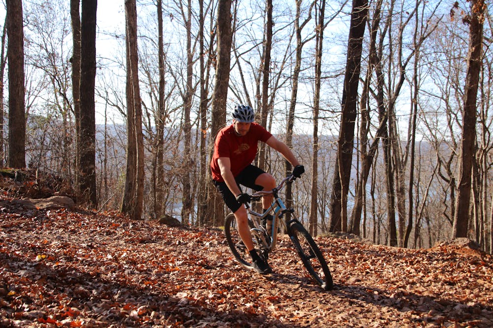
Most of the 1,500 feet of elevation is located on a lollipop loop that crosses the highway that you entered the park on. As you grind your way up, during leaf-off season be sure to enjoy the views of Lake Fort Smith far down below, because on the speedy descent you won’t want to take your eyes off the trail.
The screaming return on the loop is filled with sweeping turns that were expertly designed to eliminate momentum killing abrupt braking on your approach, guaranteed to satisfy your need for speed.
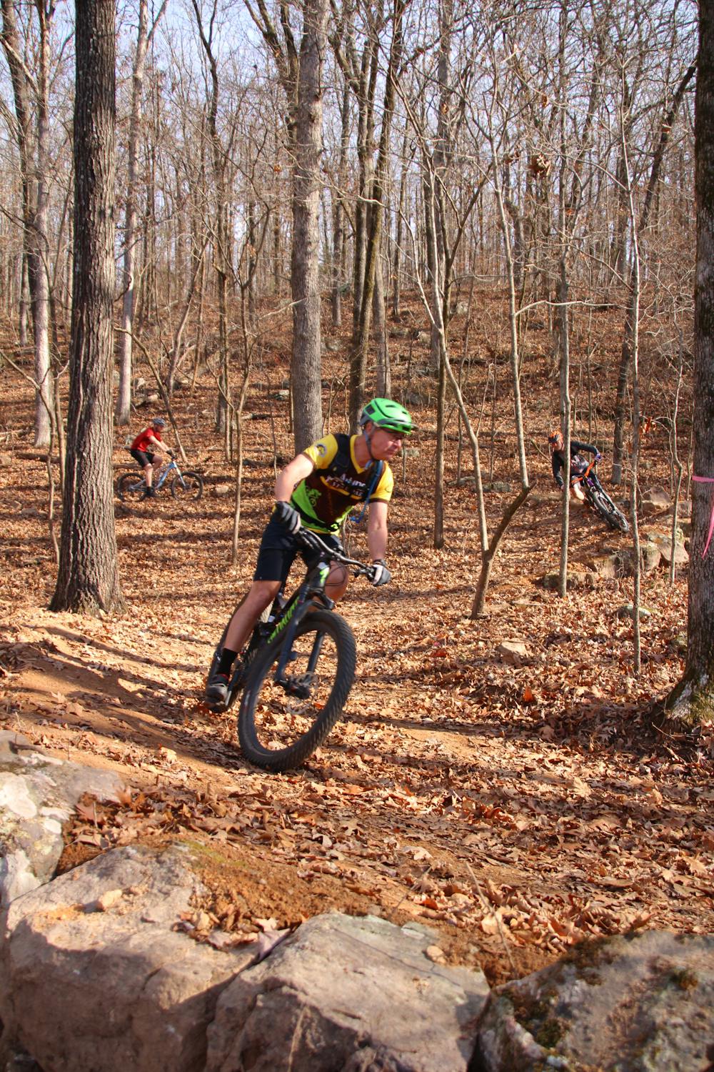
The remaining trail is a constant roller coaster ride of short climbs/descents over undulating, twisting, turning, well-groomed trail. Many of the turns are bermed, allowing cyclists to lay off their brakes—however for the more skilled riders even the non-bermed turns can be maneuvered at full throttle.
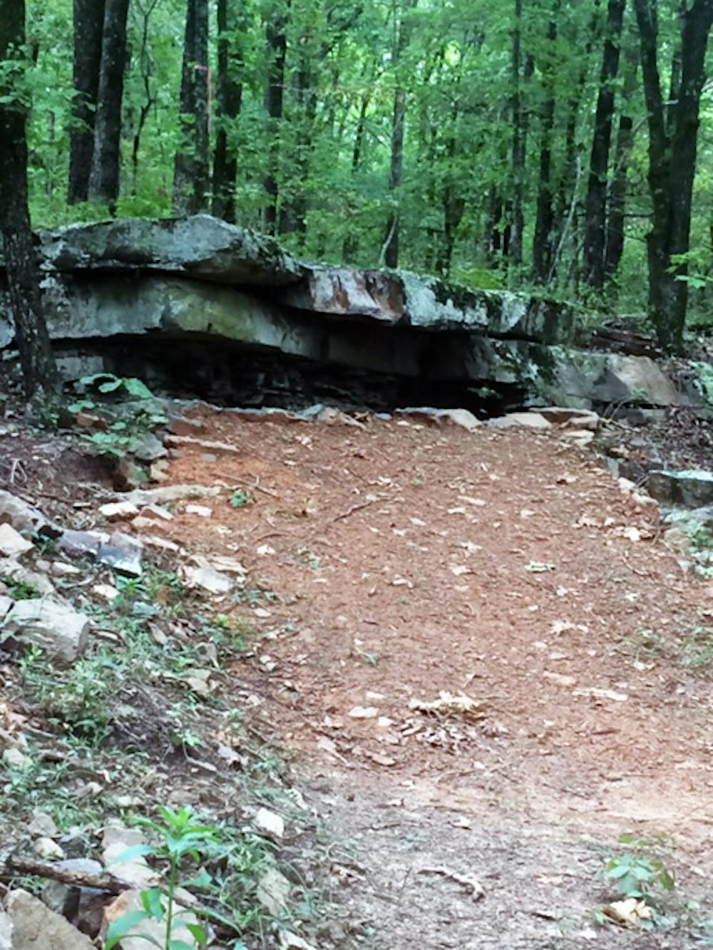
There are a few drops, rock kickers, and rock gardens, but overall the BMT allows cyclists to ride as fast and furious as they want.
The entrance to the trail is located on the right, immediately after entering the parking lot for the State Park. The recommended riding direction is counterclockwise, but it is open to be ridden in either direction. The route is well marked with blue blazes; however, there are a couple intersections for connector trails to shorten your ride. To ride the entire trail just remember, “If you stay right you can’t go wrong”.
The BMT was constructed by the Arkansas State Parks Trail Crew. They construct hiking, biking, and multi-use trails at state parks across the state. These workers have attended Professional Trail Builders Association and American Trails Symposium trail building classes so they are well versed on how to build trails.
When you plan your visit be sure to include time for a multi-day visit. With beautifully-crafted stone and wood cabins, swimming pool, hiking trails, 30 spacious RV sites, group facilities, a marina with boat and kayak rental, and a visitor center, there will be plenty of activities to occupy your non-riding hours at the park.
Difficulty
Difficult
Mostly stable trail tread with some variability featuring larger and more unavoidable obstacles that may include, but not be limited to: bigger stones, roots, steps, and narrow curves. Compared to lower intermediate, technical difficulty is more advanced and grades of slopes are steeper. Ideal for upper intermediate riders.
Extreme Exposure

Some trail sections are extremely exposed where falling will almost certainly result in serious injury or death.
Remoteness

Close to help in case of emergency.
Best time to visit
Features
- Flow
- Technical
- Drops
- Roots
- Rock Slabs
- Rock Gardens