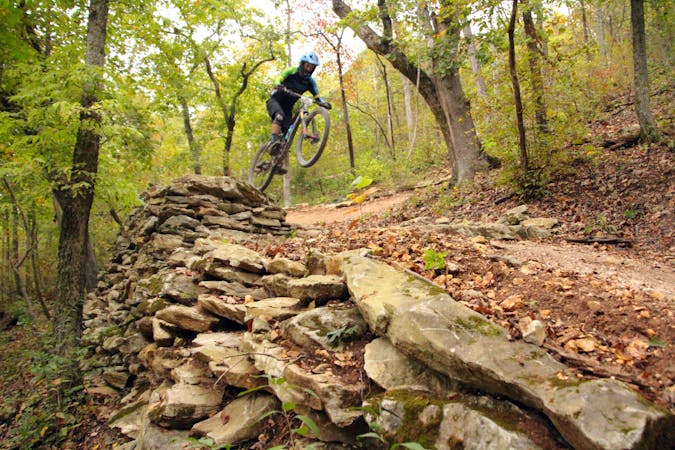
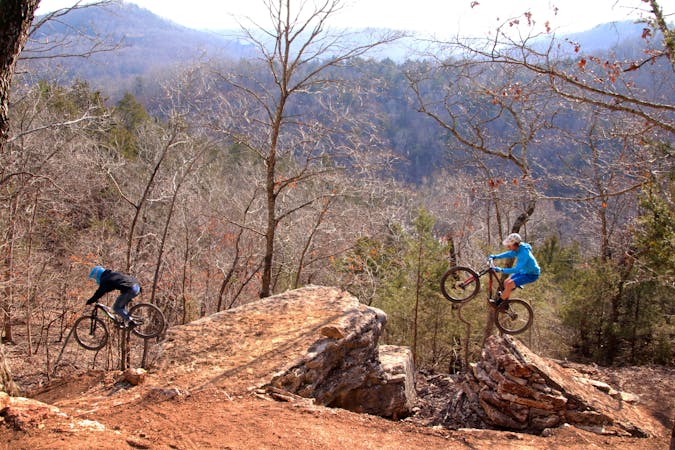
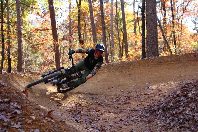
Oz Castle Hub: Catapult
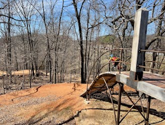
A high-speed jump line with some large table tops and incredible bridge features.
Difficult Mountain Biking
- Distance
- 4.8 km
- Ascent
- 58 m
- Descent
- 58 m

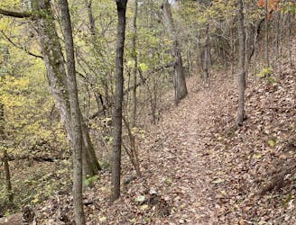
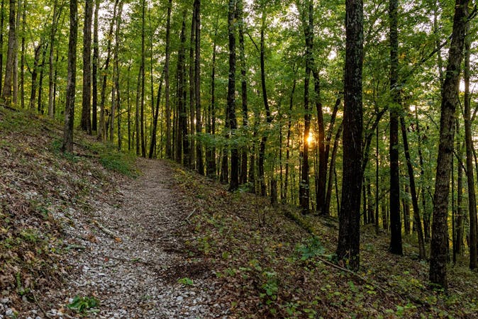
Explore Arkansas with curated guides of the best hiking trails, mountain bike trails, trail running routes, and more. With over 107 3D trail maps in FATMAP, you can easily discover and navigate the best trails in Arkansas.
No matter what your next adventure has in store, you can find a guide on FATMAP to help you plan your next epic trip.
Get a top trail recommendation in Arkansas from one of our 17 guidebooks, or get inspired by the 107 local adventures uploaded by the FATMAP community. Start exploring now!
A high-speed jump line with some large table tops and incredible bridge features.
Difficult Mountain Biking
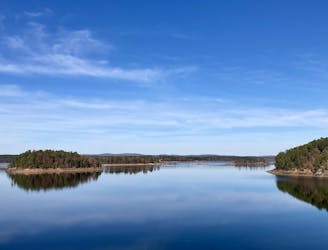
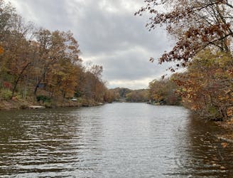
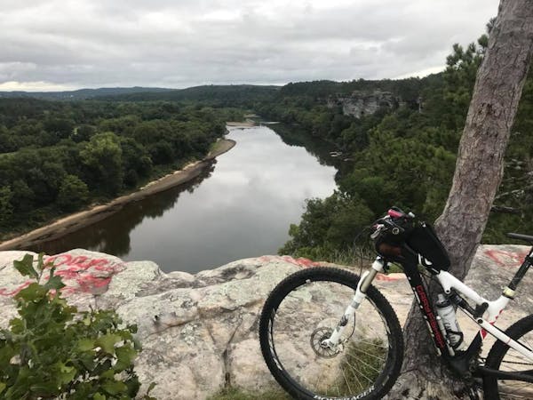
A long, flowy trail providing great views of Degray Lake.
Easy Mountain Biking

The perfect spot for learning how to ride flow trails.
Easy Mountain Biking
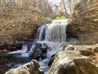
Short hike to a beautiful waterfall.
Easy Hiking

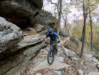
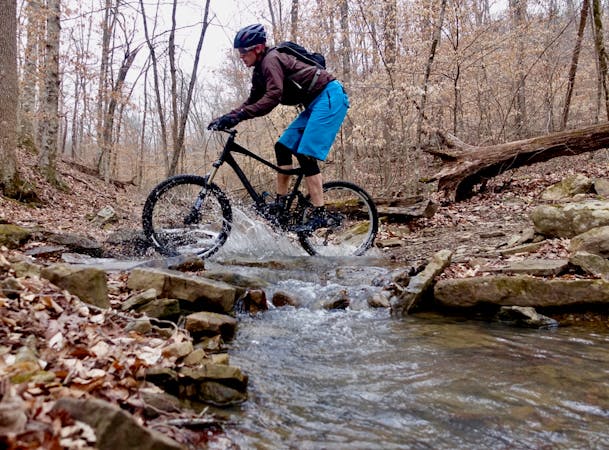
A rocky, challenging trail ride.
Severe Mountain Biking
An approachable 12-mile loop through the Little Sugar Trail System.
Moderate Mountain Biking
The easiest-to-navigate loop through the Little Sugar Trail System.
Moderate Mountain Biking
Make the most of this incredible trail system with this long-distance loop.
Difficult Mountain Biking
8 routes · Hiking
13 routes · Mountain Biking
7 routes · Mountain Biking
9 routes · Mountain Biking
5 routes · Mountain Biking

17 routes · Hiking · Trail Running
4 routes · Hiking
6 routes · Mountain Biking