2 m away
Coler: East Side
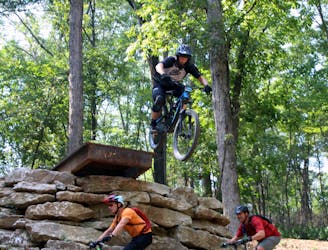
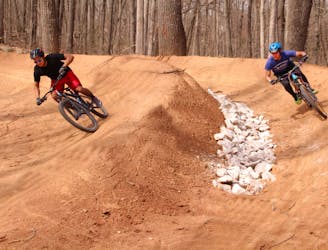
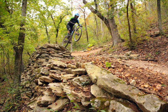
If you're into jumps, drops, rock gardens, and other fun MTB stuff, Coler MTB Preserve East is a Must Ride!
Extreme Mountain Biking
- Distance
- 9 km
- Ascent
- 218 m
- Descent
- 220 m
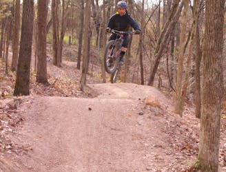
A rocky, challenging trail ride.
Mountain Biking Severe

Most of the pedal-driven trails in Bentonville are smooth, flowy, berm-filled tracks. But if you're in search of rocky, challenging cross-country trails that give a sense of the way mountain biking used to be, one of your best bets is this loop at Coler.
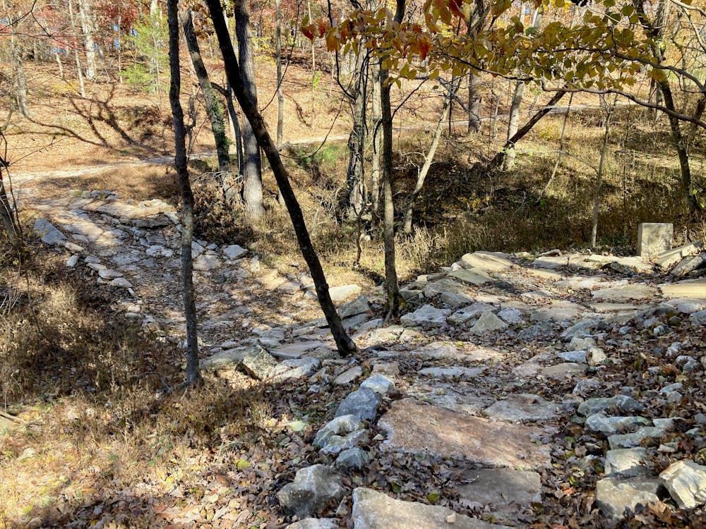
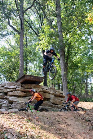
Combining Copperhead Road and Oscar's Loop, this 3.5-mile loop provides a healthy dose of chunky rock gardens, both uphill and downhill. Indeed, in some places, the trail has been veritably paved with boulders, which can make for a rough-and-tumble ride. If you look for them, there are even some ledge drop huckortunities as you rip downhill.
While both of these trails are tough, Copperhead Road gets a black-diamond rating compared to Oscar's mere blue rating. Copperhead Road does indeed earn its difficult rating, with some steep, punchy climbs straight up rock gardens and rough, off-camber descents. If you want to keep your ride a bit easier, you could skip over Copperhead Road and stay on Oscar's Loop all the way around the hillside instead.
That said, Oscar's Loop is relatively chunky for a so-called intermediate trail. While I would give it an upper-intermediate difficulty rating, it seems laughable that Oscar's gets the same difficulty rating as trails like Bamboozled and Tunnel Vision. These trails aren't even close to the same level of technical difficulty. Oscar's features plenty of boulders strung along a narrow track with substantial exposure, promising a tumble down the steep cliff-filled hillside if you misplace a tire. That wouldn't be good for your health.
If you're looking for a gem of rock-strewn singletrack, check out this loop!
Severe
Widely variable, narrow trail tread with steeper grades and unavoidable obstacles of 15in/38cm tall or less. Obstacles may include unavoidable bridges 24in/61cm wide or less, large rocks, gravel, difficult root sections, and more. Ideal for advanced-level riders.

Some trail sections have exposed ledges or steep ascents/descents where falling could cause serious injury.

Close to help in case of emergency.
2 m away
If you're into jumps, drops, rock gardens, and other fun MTB stuff, Coler MTB Preserve East is a Must Ride!
Extreme Mountain Biking
11 m away
A beginner-friendly pedal in the Coler trail system.
Easy Mountain Biking
2.2 km away
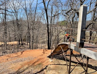
Slaughter Pen Trails Phase I crisscrosses the hillside with several old-school trails packed with short climbs, wooden bridges, sharp banked turns, and a short downhill run packed with many fun features.
Severe Mountain Biking
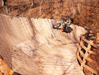
2.2 km away
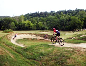
Coler MTB Preserve West is loaded with wood features and also the only dual slalom run in this part of the country.
Difficult Mountain Biking
2.2 km away

The perfect spot for learning how to ride flow trails.
Easy Mountain Biking
2.4 km away

A rock slab-filled black diamond descent.
Severe Mountain Biking
2.4 km away
More old school single track that flows along the hillside then switches back up the hillside for short climbs and descent.
Difficult Mountain Biking
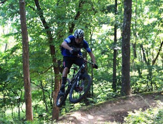
2.4 km away
The OG jump line at Slaughter Pen
Extreme Mountain Biking
2.4 km away

A fast intermediate jump line with surprisingly big hits.
Moderate Mountain Biking
2.4 km away
A high-speed jump line with some large table tops and incredible bridge features.
Difficult Mountain Biking
13 routes · Mountain Biking
10 routes · Mountain Biking