1 m away
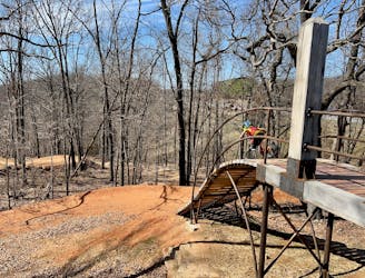
Dragon Scales Loop

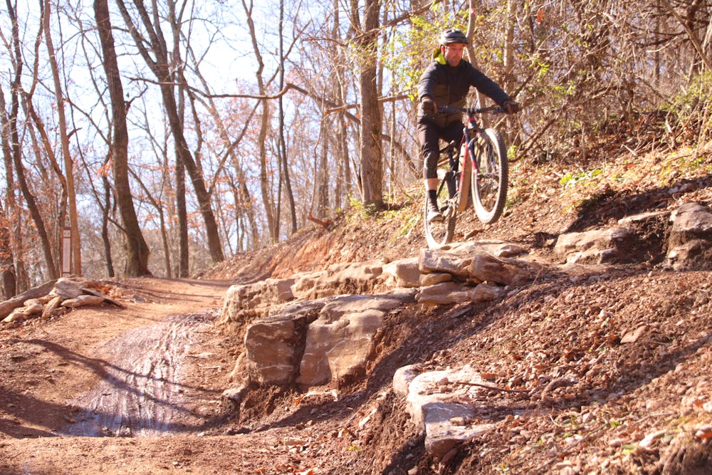
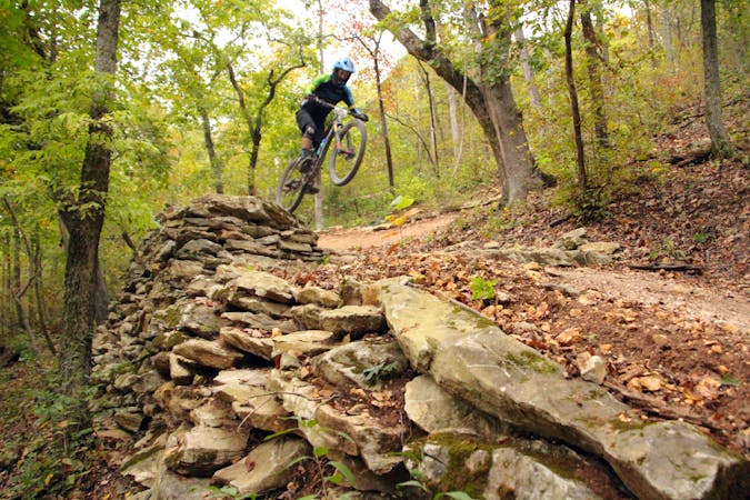
A rock slab-filled black diamond descent.
Severe Mountain Biking
- Distance
- 4.2 km
- Ascent
- 57 m
- Descent
- 57 m
More old school single track that flows along the hillside then switches back up the hillside for short climbs and descent.
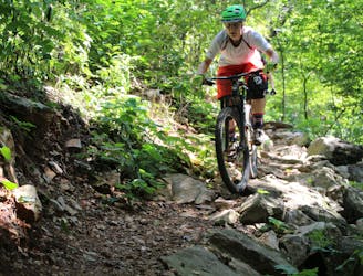
Mountain Biking Difficult

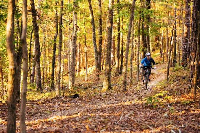
Phase II’s entry and exit points are located just below Phase I on Urban Trail. This is relatively flat and narrow singletrack just inside the tree line. The claim to fame here is when it passes “Bush Push”. On November 22, 2010, President George W. Bush rode his mountain bike up this steep rocky doubletrack, non-stop. When you see this you’ll be thoroughly impressed, because a lot of riders fail to make it all the way to the top.
You have the option to turn off Urban and ride a couple trails that switch back and forth across the hillside for some nice, short climbs and descents, or you can continue on Urban to cross a creek, then after a short ride on a paved trail you drop into the base of Ozone Trail.
Ozone saw a lot of trail-love during early 2018, opening it up and adding more flow. When riding this direction riders will miss a nice rock drop, but I believe this direction is better because of the nice flowy stretch of Angus Chute on the downside. After a short climb up a twisting switchback at the end of Ozone, just before turning right to follow a fun rolly section that parallels a street, you have the option to cross the street and return to the parking lot via Red Barn & Tristan’s Trail. This is a short connector trail that was added during 2018. It’s a nice, flowy descent back to where you parked your car, next to the dog park.
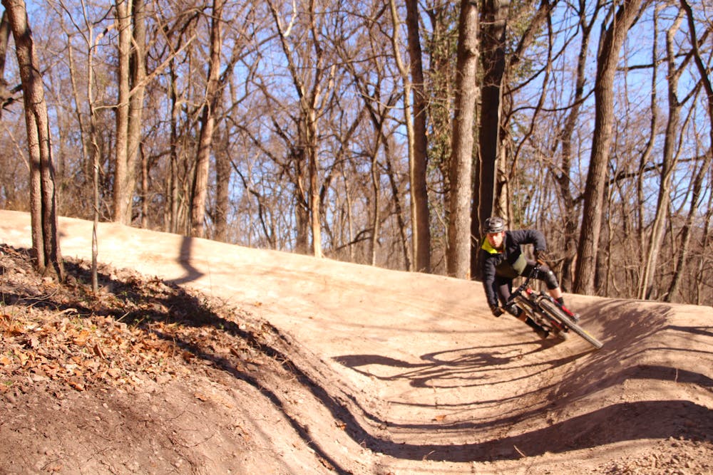
If you skip Red Barn and continue to the right you’ll reach another section with major improvements made during early 2018: Angus Chute. This is a sweet machine-constructed descent with some added drops and rock kickers.
Difficult
Mostly stable trail tread with some variability featuring larger and more unavoidable obstacles that may include, but not be limited to: bigger stones, roots, steps, and narrow curves. Compared to lower intermediate, technical difficulty is more advanced and grades of slopes are steeper. Ideal for upper intermediate riders.

The trail contains some obstacles such as outcroppings and rock which could cause injury.

Close to help in case of emergency.
1 m away
A rock slab-filled black diamond descent.
Severe Mountain Biking
1 m away
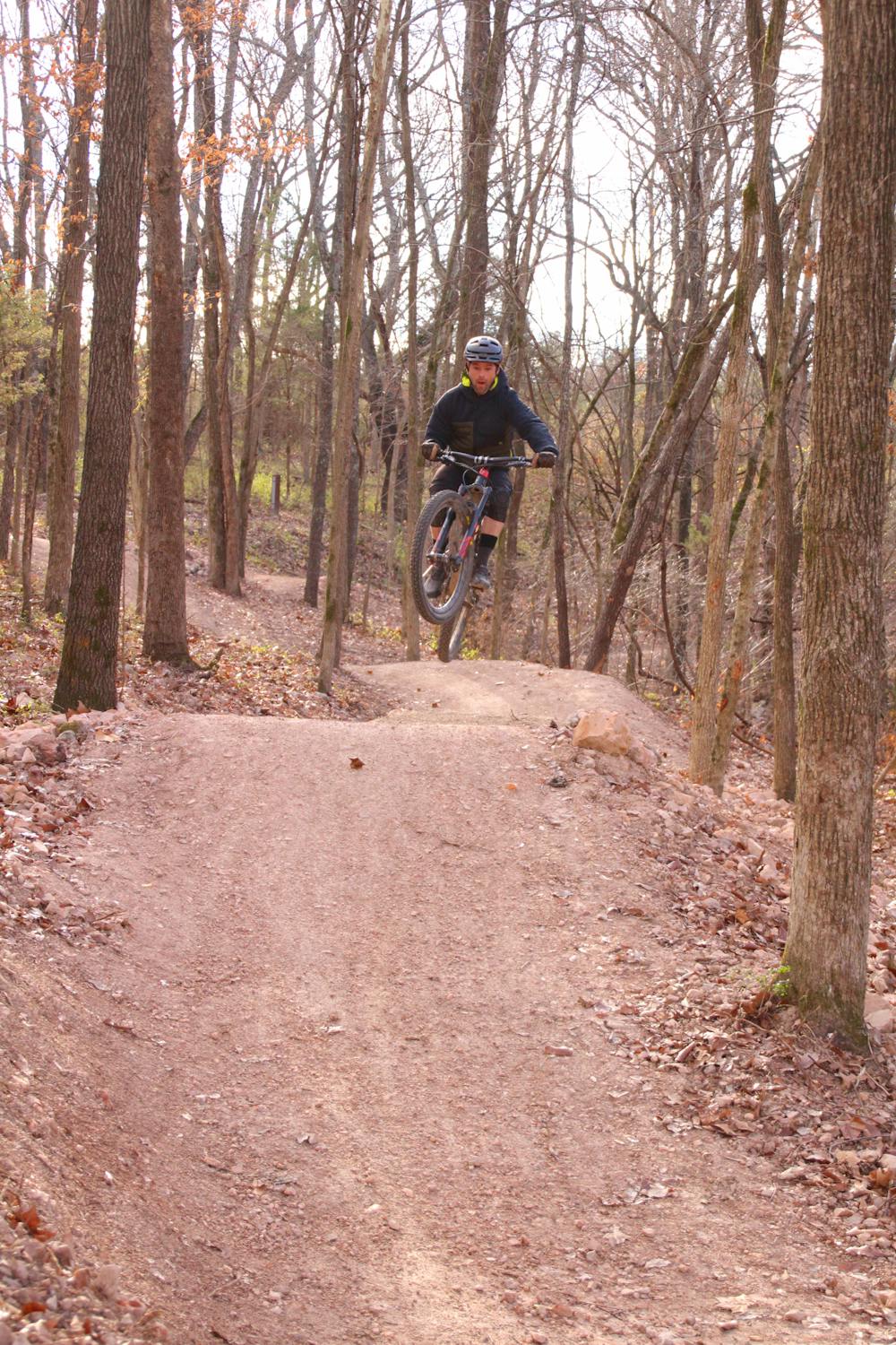
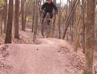
The OG jump line at Slaughter Pen
Extreme Mountain Biking
3 m away

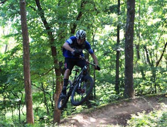
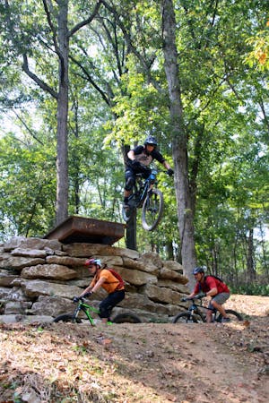
A fast intermediate jump line with surprisingly big hits.
Moderate Mountain Biking
3 m away
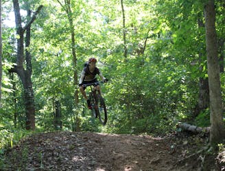
A high-speed jump line with some large table tops and incredible bridge features.
Difficult Mountain Biking
161 m away
Armadillo’s Last Stand and Tatamagouche Trails are both twisting, turning, undulating trails within the Outer Loop trail of Phase I.
Difficult Mountain Biking
369 m away
Slaughter Pen Trails Phase I crisscrosses the hillside with several old-school trails packed with short climbs, wooden bridges, sharp banked turns, and a short downhill run packed with many fun features.
Severe Mountain Biking
1.2 km away
Tatamagouche Trails and Armadillo’s Last Stand are both twisting, turning, undulating trails within the Outer Loop trail of Phase I.
Severe Mountain Biking
1.6 km away
Make the most of this incredible trail system with this long-distance loop.
Difficult Mountain Biking
1.6 km away
Slaughter Pen Phase II East is a set of narrow rocky trails that will challenge your handling skills and provide a feeling of accomplishment after riding them.
Severe Mountain Biking
1.7 km away

A fresh jump line with big tabletops.
Severe Mountain Biking
13 routes · Mountain Biking
10 routes · Mountain Biking
5 routes · Mountain Biking