1.5 km away
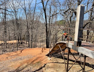
Inner Armadillo's Last Stand
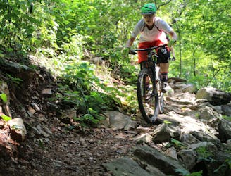
Armadillo’s Last Stand and Tatamagouche Trails are both twisting, turning, undulating trails within the Outer Loop trail of Phase I.
Difficult Mountain Biking
- Distance
- 1.6 km
- Ascent
- 38 m
- Descent
- 34 m
Make the most of this incredible trail system with this long-distance loop.
Mountain Biking Difficult

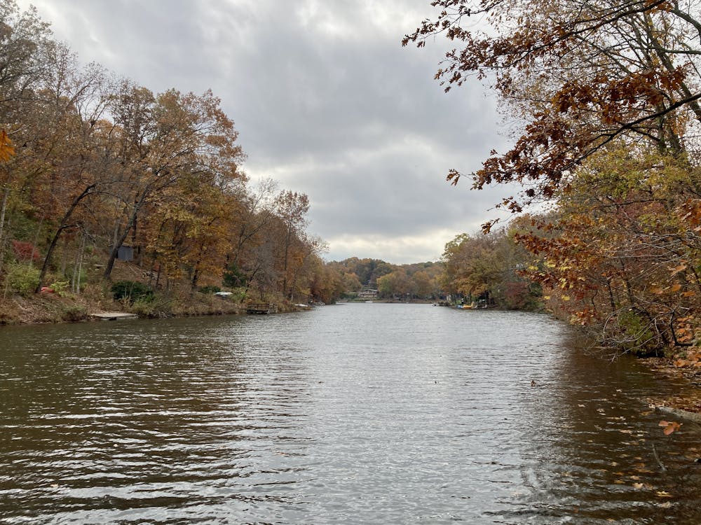
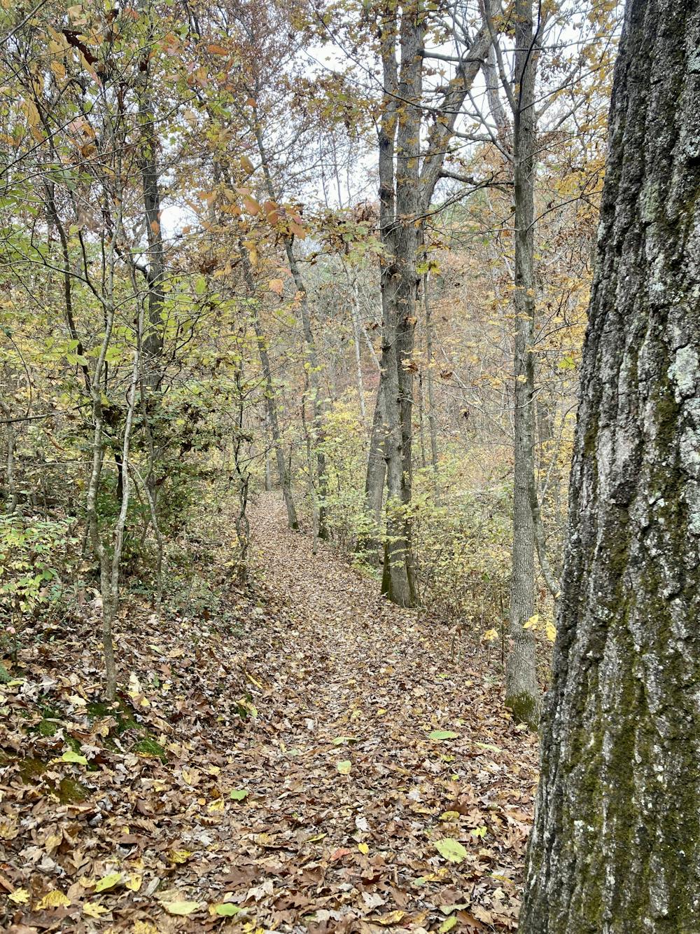
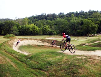
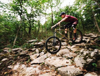
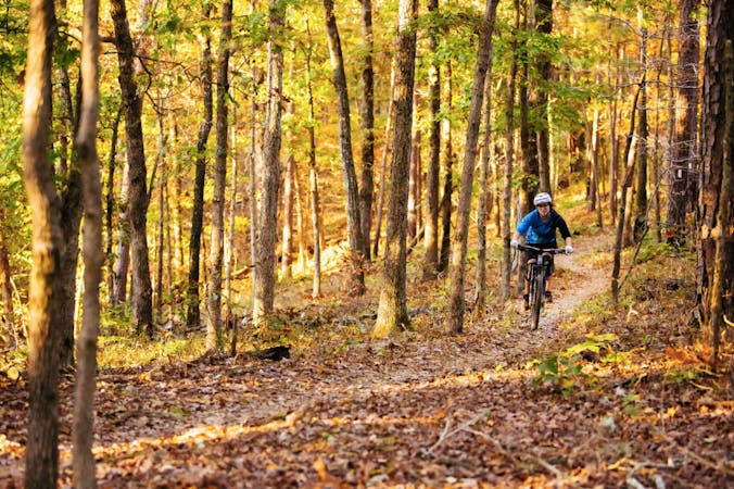
The Little Sugar trail system occupies the northwestern corner of Northwest Arkansas's ever-expanding trail system. In fact, this spider web of singletrack runs all the way to the Arkansas/Missouri border. With the southern tip of the trail network reaching into the no man's land between Bella Vista and Bentonville, this trail system provides one of the best opportunities near Bentonville to get out and stretch your legs on a long-distance cross-country ride.
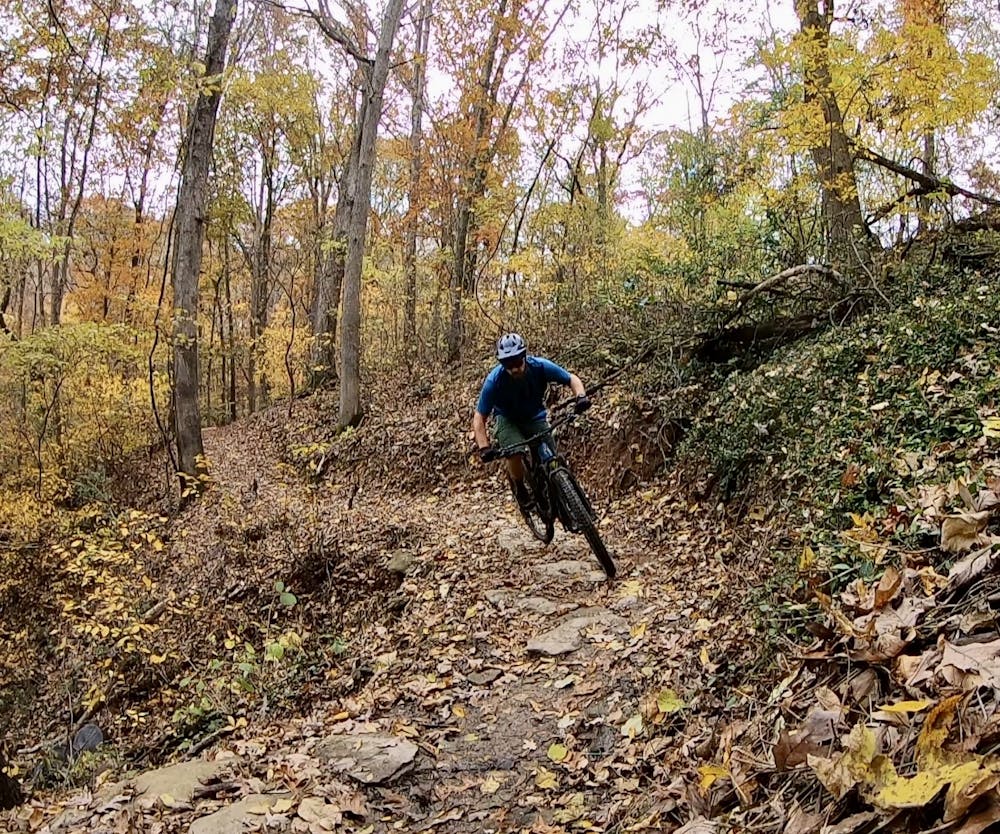
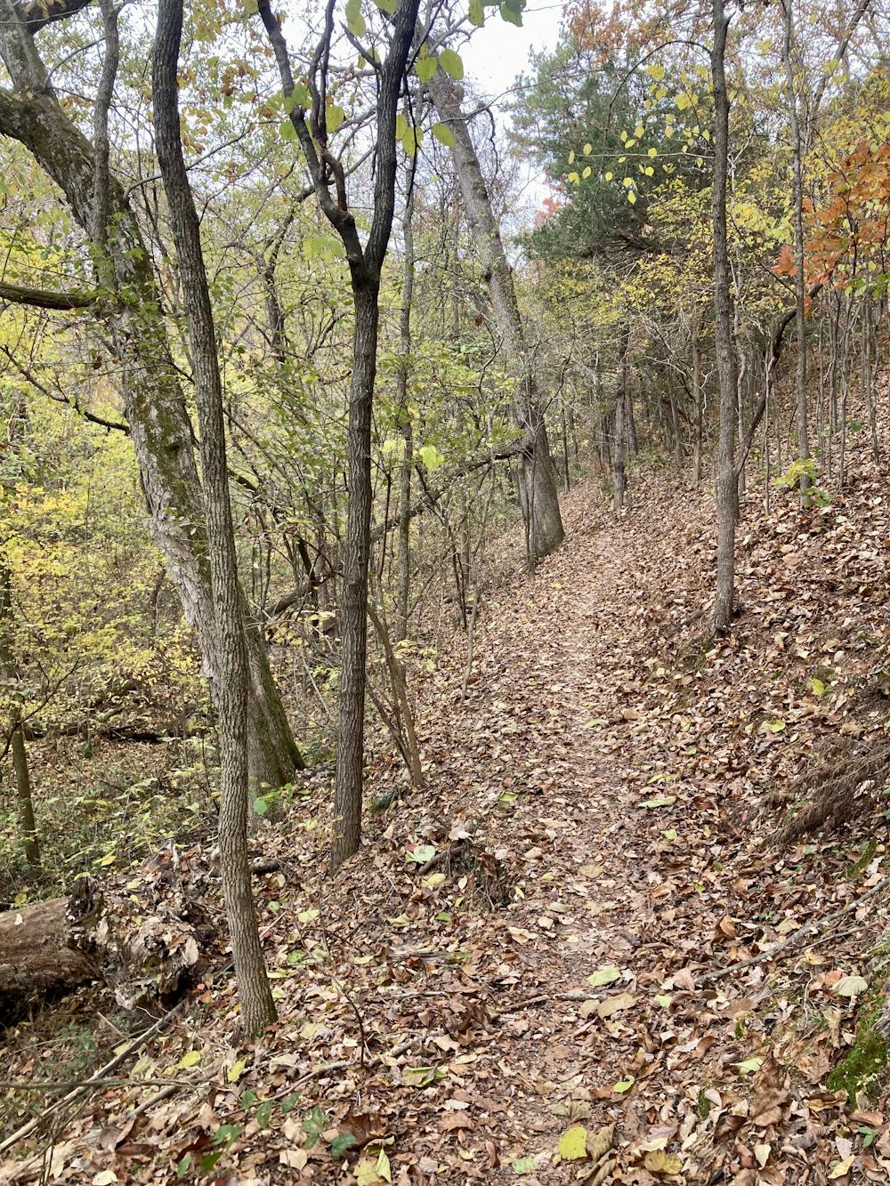
To make the most out of this incredible trail system, follow this 36-mile loop dubbed the "Little Sugar Epic." While Northwest Arkansas might look flat when you look at it in FATMAP, you'll still climb a whopping 4,200 vertical feet on this ride. Epic, indeed
This loop is anchored by the Tunnel Vision trail. Tunnel Vision itself is a 25-mile loop through the network, but in this rendition it has been extended by an additional 11 miles by tacking on the Down Under loop, the Little Sugar Connector, Technical Difficulty, and Tweety Bird. Despite the additions, this loop does very little backtracking, making for a fantastic ride combination that's easy to navigate.
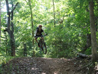
These trails provide fantastic intermediate riding that swoops and flows up and down the hillsides of Northwestern Arkansas. This flowy machine-built singletrack is largely non-technical, although some tough obstacles can crop up in the rockier sections of the terrain. In these locations, you'll usually find an easier ride-around option if you so prefer. Or, you can stop to session the random jump lines and ledge drops sprinkled throughout the network, providing a little pizzaz to your long-distance trail ride.
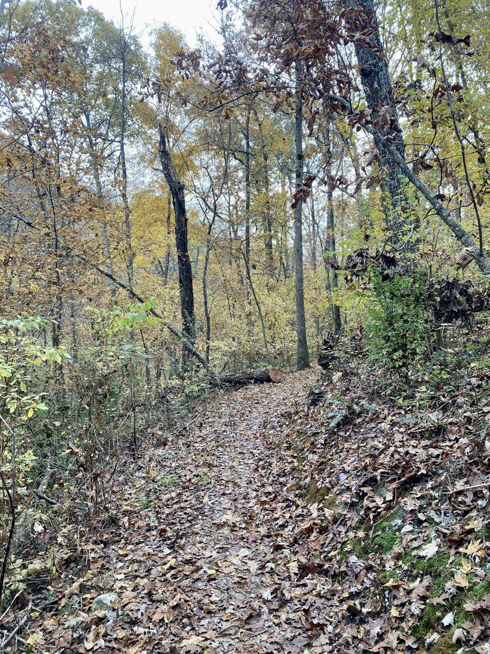
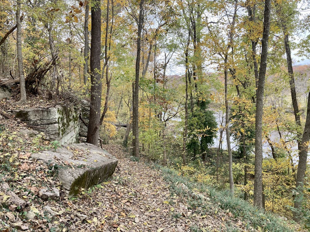
The corners are veritably filled with berms. No expense was spared as the artists crafted this sinuous track with their machines. The trail snakes through beautiful forest glades, along river banks, and past lakes, before popping out into the next neighborhood. Then the route abruptly crosses a road, dropping back into a strip of woods that separates two housing developments.
It's truly incredible how the trail builders and designers placed such fantastic long-distance stretches of singletrack between houses and residences. In some spots, you're basically riding right along somebody's property boundary to make a connection to the next stretch of woodland. In most places in the country this wouldn't fly, but apparently, the local advocates have this system down. It's the same one that they already employed to create the Back 40 Trail System several years ago.
If you want to crank out miles and miles of flowy singletrack, there's no better place than Little Sugar!
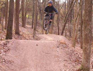
Difficult
Mostly stable trail tread with some variability featuring larger and more unavoidable obstacles that may include, but not be limited to: bigger stones, roots, steps, and narrow curves. Compared to lower intermediate, technical difficulty is more advanced and grades of slopes are steeper. Ideal for upper intermediate riders.

The trail contains some obstacles such as outcroppings and rock which could cause injury.

Close to help in case of emergency.
1.5 km away
Armadillo’s Last Stand and Tatamagouche Trails are both twisting, turning, undulating trails within the Outer Loop trail of Phase I.
Difficult Mountain Biking
1.6 km away

A fast intermediate jump line with surprisingly big hits.
Moderate Mountain Biking
1.6 km away
A high-speed jump line with some large table tops and incredible bridge features.
Difficult Mountain Biking
1.6 km away
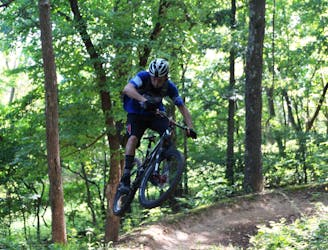
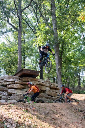
The OG jump line at Slaughter Pen
Extreme Mountain Biking
1.6 km away
More old school single track that flows along the hillside then switches back up the hillside for short climbs and descent.
Difficult Mountain Biking
1.6 km away

A rock slab-filled black diamond descent.
Severe Mountain Biking
1.9 km away
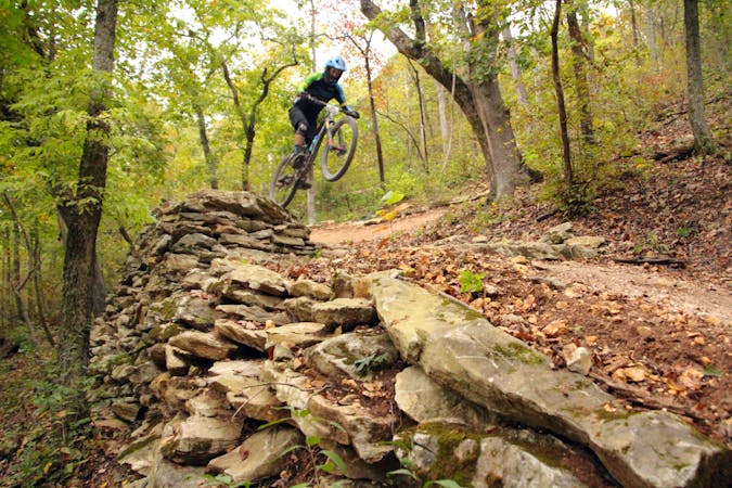
Slaughter Pen Trails Phase I crisscrosses the hillside with several old-school trails packed with short climbs, wooden bridges, sharp banked turns, and a short downhill run packed with many fun features.
Severe Mountain Biking
2.3 km away
Sweet flowy singletrack that includes features for all levels of mountain bikers.
Difficult Mountain Biking
2.5 km away
Tatamagouche Trails and Armadillo’s Last Stand are both twisting, turning, undulating trails within the Outer Loop trail of Phase I.
Severe Mountain Biking
3.2 km away
A beginner-friendly pedal in the Coler trail system.
Easy Mountain Biking
13 routes · Mountain Biking
10 routes · Mountain Biking
5 routes · Mountain Biking