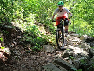
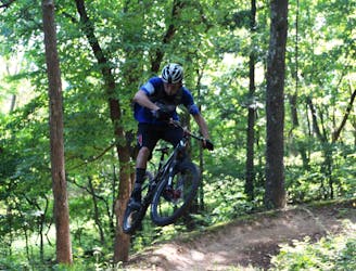
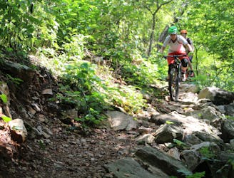
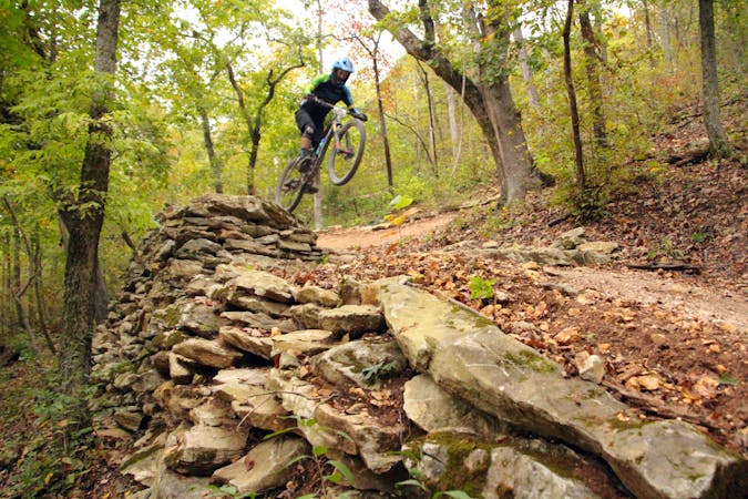
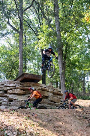
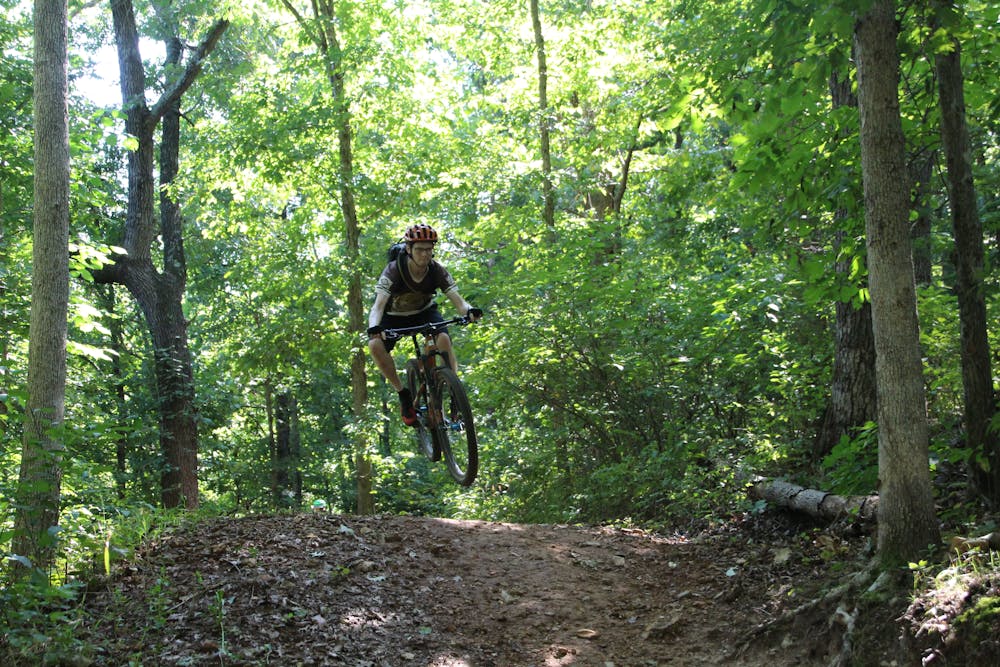
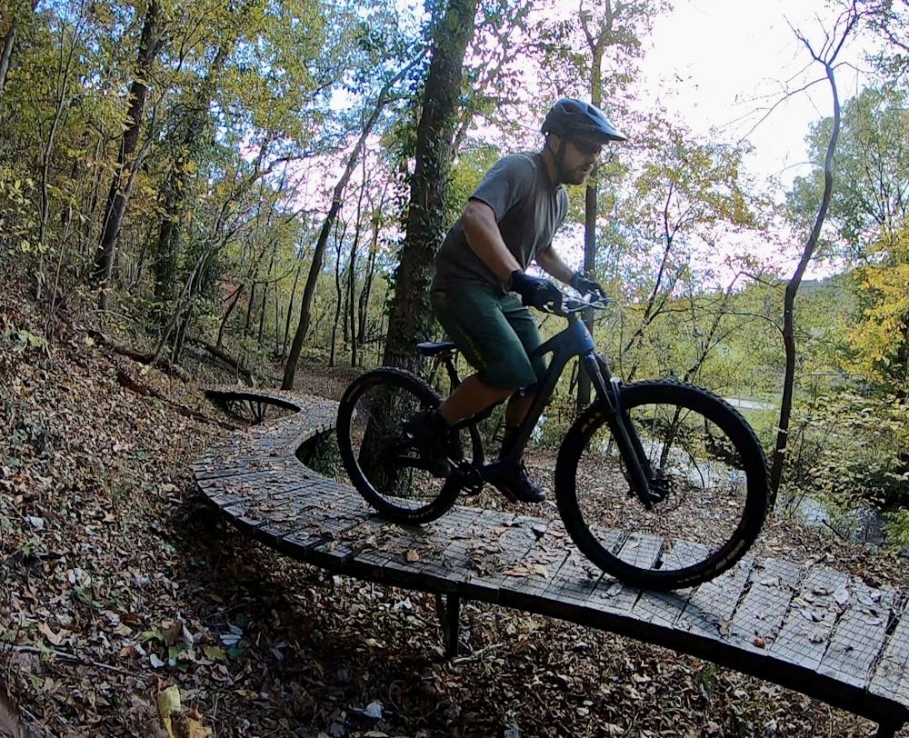
FATMAP by Strava

Inner Tatamgouche

Tatamagouche Trails and Armadillo’s Last Stand are both twisting, turning, undulating trails within the Outer Loop trail of Phase I.

Mountain Biking Severe

Distance
2.6 km
Ascent
32 m
Descent
54 m
Duration
0-1 hrs
Low Point
331 m
High Point
360 m
Gradient
Inner Tatamgouche Map

Tatamagouche Trails and Armadillo’s Last Stand crisscross the undulation hillside within the Outer Loop of Phase I. They run the length of this network of trails to add another 3 miles of trails. Both trails pretty much parallel the Outer Loops trails of Medusa offering similar twisting turns, wooden features, and rocky single track.

Description

By utilizing this system of trails cyclists can mix and match them to more than double the total amount of trails and not even realize you have ridden the same trail.

Long last Old School Trails!

Difficulty

Severe

Widely variable, narrow trail tread with steeper grades and unavoidable obstacles of 15in/38cm tall or less. Obstacles may include unavoidable bridges 24in/61cm wide or less, large rocks, gravel, difficult root sections, and more. Ideal for advanced-level riders.

Medium Exposure

2 out of 4

The trail contains some obstacles such as outcroppings and rock which could cause injury.

Remoteness

1 out of 4

Close to help in case of emergency.

Best time to visit

all year round

Features

  • Flow
  • Technical
  • Roots
  • Wooden Feature

Similar routes nearby

Guidebooks in this area