157 m away
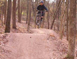
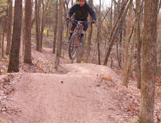
Oz Castle Hub: Catapult
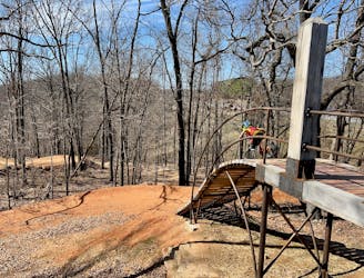
A high-speed jump line with some large table tops and incredible bridge features.
Difficult Mountain Biking
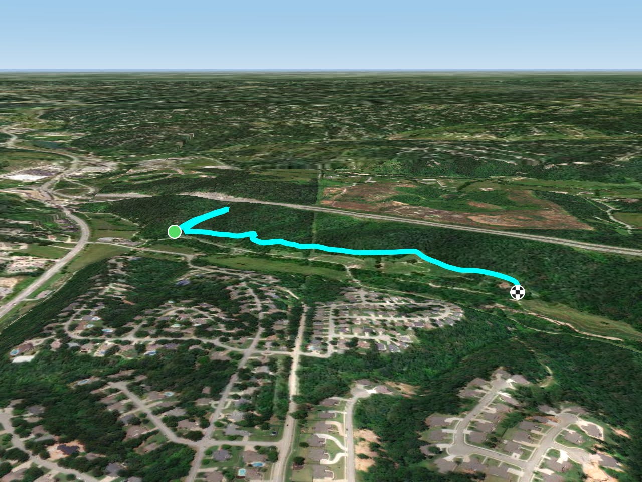
- Distance
- 4.8 km
- Ascent
- 58 m
- Descent
- 58 m
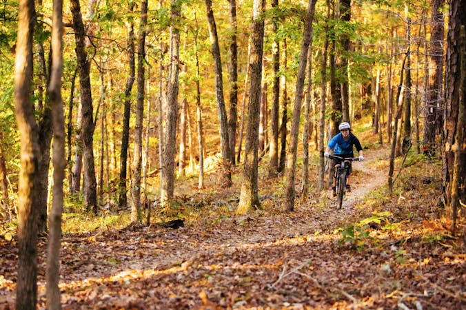
Armadillo’s Last Stand and Tatamagouche Trails are both twisting, turning, undulating trails within the Outer Loop trail of Phase I.
Mountain Biking Difficult
Armadillo’s Last Stand and Tatamagouche Trails crisscross the undulation hillside within the Outer Loop of Phase I. They run the length of this network of trails to add another 3 miles of trails. Both trails pretty much parallel the Outer Loops trails of Medusa offering similar twisting turns, wooden features, and rocky single track.
By utilizing this system of trails cyclists can mix and match them to more than double the total amount of trails and not even realize you have ridden the same trail.
Long live Old School Trails!
Difficult
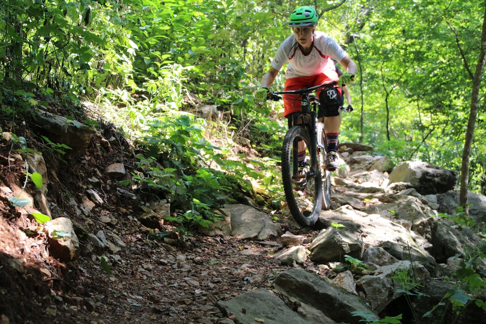
Mostly stable trail tread with some variability featuring larger and more unavoidable obstacles that may include, but not be limited to: bigger stones, roots, steps, and narrow curves. Compared to lower intermediate, technical difficulty is more advanced and grades of slopes are steeper. Ideal for upper intermediate riders.

The trail contains some obstacles such as outcroppings and rock which could cause injury.

Close to help in case of emergency.
157 m away
A high-speed jump line with some large table tops and incredible bridge features.
Difficult Mountain Biking
157 m away

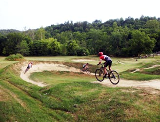
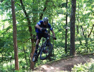
A fast intermediate jump line with surprisingly big hits.
Moderate Mountain Biking
159 m away
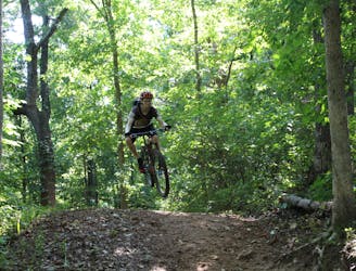
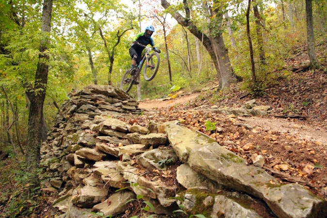
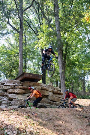
The OG jump line at Slaughter Pen
Extreme Mountain Biking
161 m away
More old school single track that flows along the hillside then switches back up the hillside for short climbs and descent.
Difficult Mountain Biking
161 m away

A rock slab-filled black diamond descent.
Severe Mountain Biking
524 m away
Slaughter Pen Trails Phase I crisscrosses the hillside with several old-school trails packed with short climbs, wooden bridges, sharp banked turns, and a short downhill run packed with many fun features.
Severe Mountain Biking
1.1 km away
Tatamagouche Trails and Armadillo’s Last Stand are both twisting, turning, undulating trails within the Outer Loop trail of Phase I.
Severe Mountain Biking
1.5 km away
Make the most of this incredible trail system with this long-distance loop.
Difficult Mountain Biking
1.7 km away
Slaughter Pen Phase II East is a set of narrow rocky trails that will challenge your handling skills and provide a feeling of accomplishment after riding them.
Severe Mountain Biking
1.8 km away

A fresh jump line with big tabletops.
Severe Mountain Biking
13 routes · Mountain Biking
10 routes · Mountain Biking
5 routes · Mountain Biking