335 m away
Iron Mountain: Green Trail
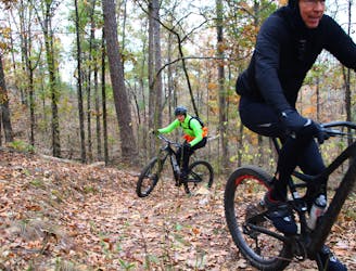
Fast and flowy singletrack that was so well designed that even on a loop ride there appears to be more downhill than up.
Moderate Mountain Biking
- Distance
- 8.9 km
- Ascent
- 139 m
- Descent
- 138 m
A long, flowy trail providing great views of Degray Lake.
Mountain Biking Easy

The Red Trail in the Iron Mountain Trail System is located north of Skyline Drive and is conveniently accessible from the main mountain biking trailhead and the Iron Mountain Campground on Degray Lake.
The Red Loop is substantially longer than the nearby White Loop, making it a bit more committing as you'll venture a long ways from the closest trailhead. However, if you find that the Red Loop is a bit more than you'd bargained for, you can easily shorten it thanks to a couple of short-cut trails that bisect the loop at narrow points.
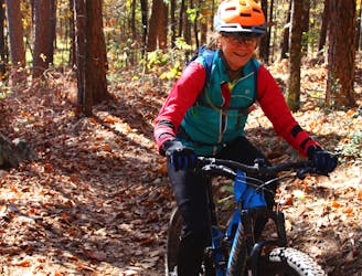
The singletrack on the Red Loop gets assigned an intermediate rating by some sources, but on a global scale this is truly a beginner-friendly trail. This is reflected by the "Easy" FATMAP Difficulty rating.
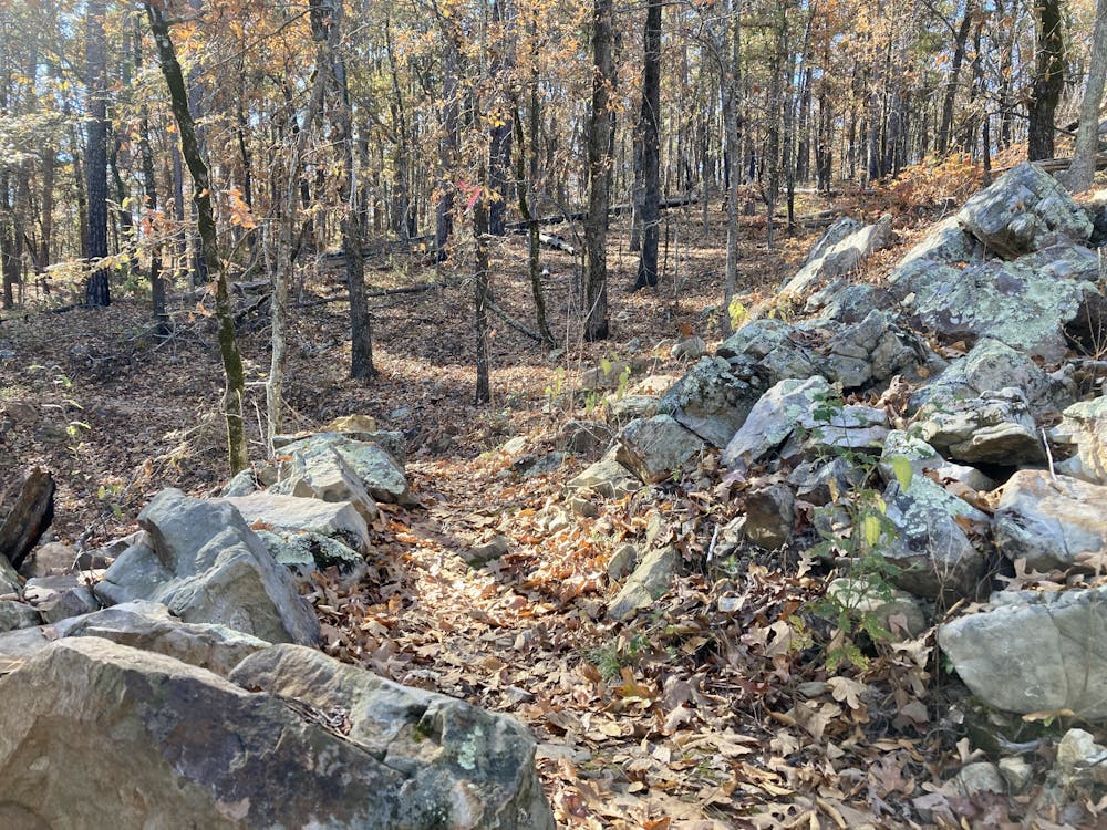
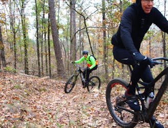
The singletrack is smooth, flowing, and wide-open, allowing hammerhead cross country riders to absolutely rock and roll along this fast trail. On the other hand, beginner riders will find that a few of the rocks and roots might challenge them and help them improve their bike handling skills. Notably, the furthest reaches of the trail offer a few small rock gardens, but in the grand scheme of things, these are minimal challenges that barely count as obstacles.
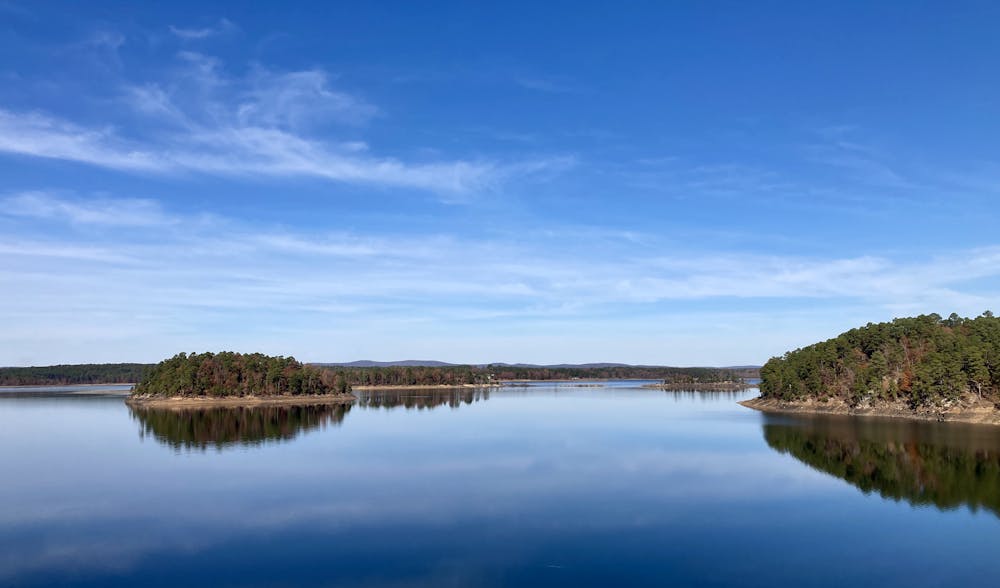
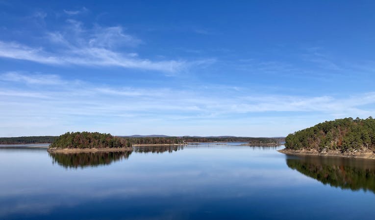
The Red Loop will reward your efforts with fantastic views of Degray Lake. As you can see from the map, the trail swings out onto three different peninsulas. Along this portion of the trail, the singletrack stays quite close to the shore, offering views through the trees. When you find a rare break in the forest, you'll be greeted by expansive vistas of this massive lake. During the winter when the leaves are off the trees, the views are even more spectacular!
Easy
Mostly smooth and non-technical singletrack with unavoidable obstacles 2in/5cm tall or less. Avoidable obstacles may be present. Ideal for beginner riders.

The path is on completely flat land and potential injury is limited to falling over.

Away from help but easily accessed.
335 m away
Fast and flowy singletrack that was so well designed that even on a loop ride there appears to be more downhill than up.
Moderate Mountain Biking
339 m away
Flowy, less technical fun trails without the extended climbs of the south side trails.
Easy Mountain Biking
3.4 km away
Extended climb with a sweet, flowy descent.
Moderate Mountain Biking
4 routes · Mountain Biking