3.2 km away
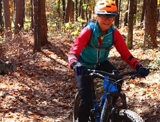
Iron Mountain: North Side of Skyline Drive
Flowy, less technical fun trails without the extended climbs of the south side trails.
Easy Mountain Biking
- Distance
- 17 km
- Ascent
- 267 m
- Descent
- 268 m
Extended climb with a sweet, flowy descent.
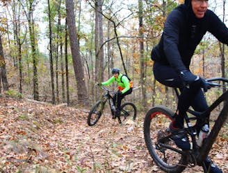
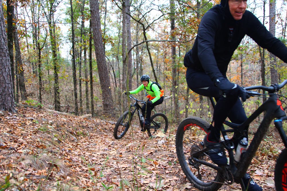
Mountain Biking Moderate
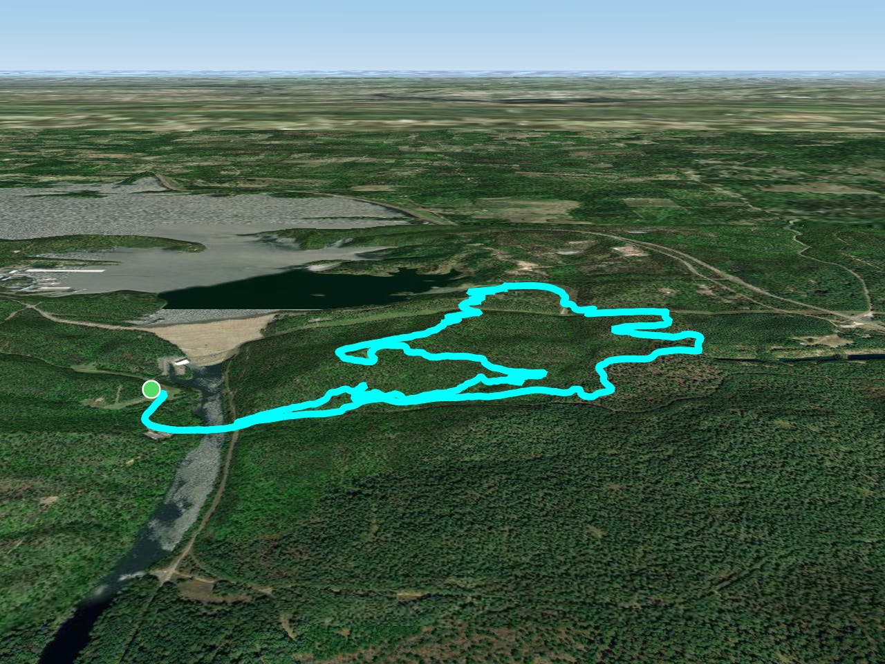
Yellow Trail (YT) is a loop extension of Green Trail (GT). YT is a lot like GT, in that it has a long, extended, although gentle, climb; but the long, flowy descent is well worth the effort.
You have the option to bypass YT and just continue the GT loop back to the trailhead, however, you will miss a nice ride.
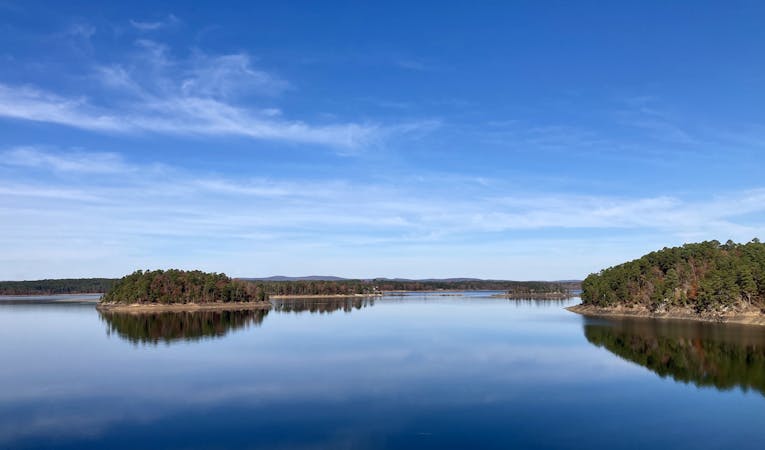
To ride YT follow the paved road across the bridge, which has a great view of the large earthen dam holding back DeGray Lake’s water, and keep an eye out for the entrance on the left to the single track. It is only about 100 yards on pavement.
When you return back to the pavement return to where you exited GT and resume the loop to the left.
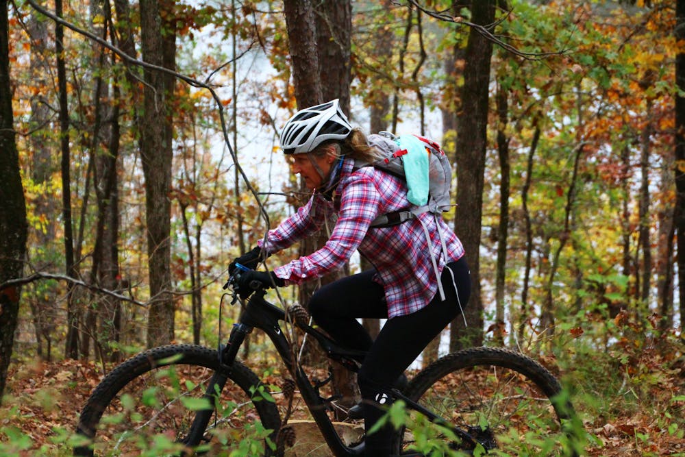
Moderate
Mostly stable trail tread with some variability, with unavoidable obstacles 8in/20cm tall or less. Other obstacles such as rock gullies and steep sections may exist. Ideal for lower intermediate riders.

The path is on completely flat land and potential injury is limited to falling over.
Close to help in case of emergency.
3.2 km away
Flowy, less technical fun trails without the extended climbs of the south side trails.
Easy Mountain Biking
3.2 km away
Fast and flowy singletrack that was so well designed that even on a loop ride there appears to be more downhill than up.
Moderate Mountain Biking
3.4 km away
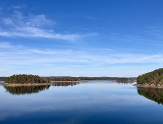
A long, flowy trail providing great views of Degray Lake.
Easy Mountain Biking
4 routes · Mountain Biking