5 m away
Iron Mountain: North Side of Skyline Drive
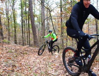
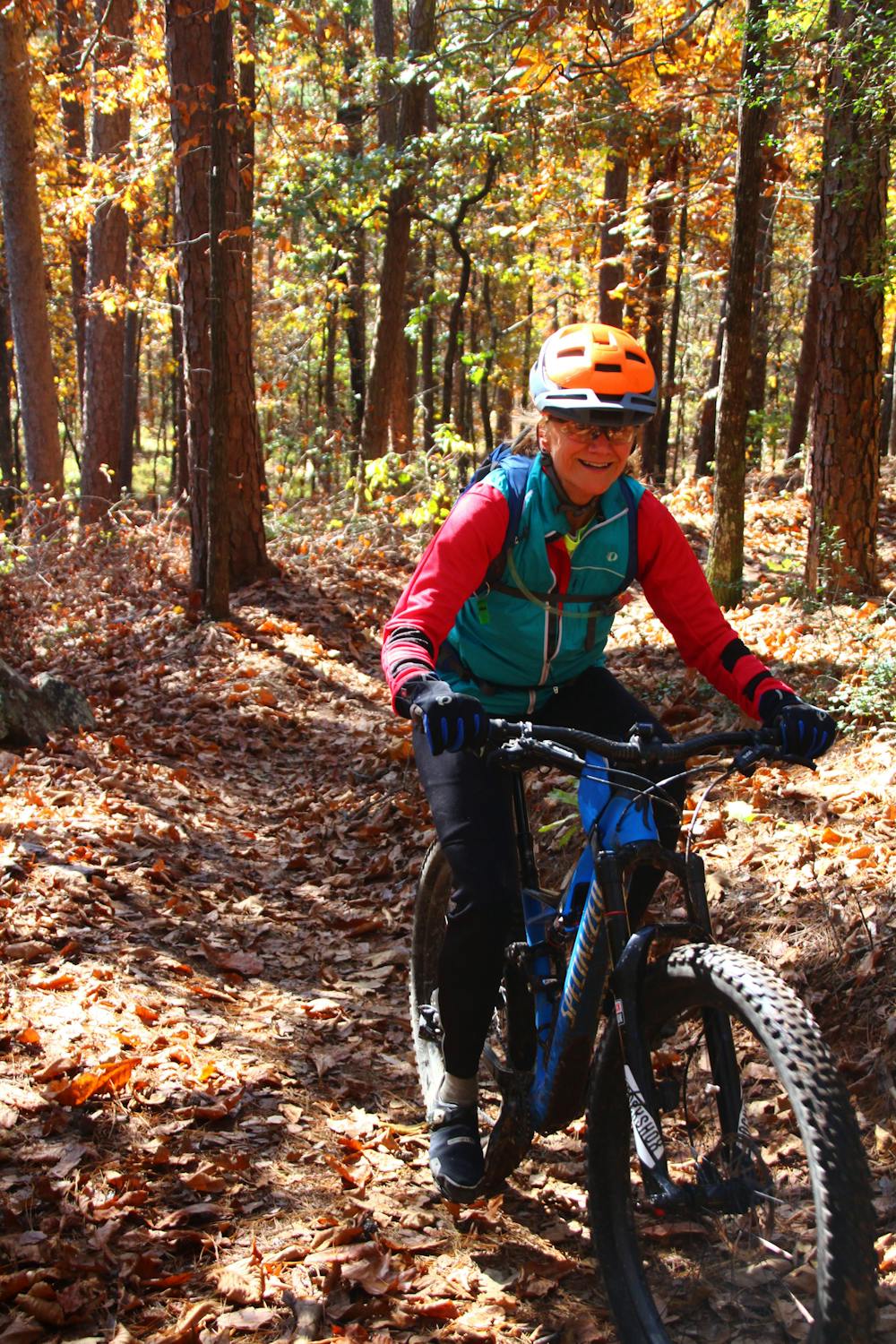
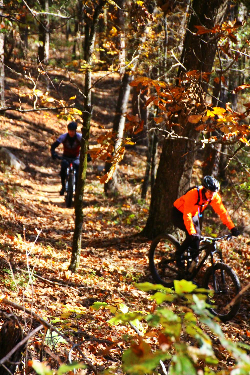
Flowy, less technical fun trails without the extended climbs of the south side trails.
Easy Mountain Biking
- Distance
- 17 km
- Ascent
- 267 m
- Descent
- 268 m
Fast and flowy singletrack that was so well designed that even on a loop ride there appears to be more downhill than up.
Mountain Biking Moderate

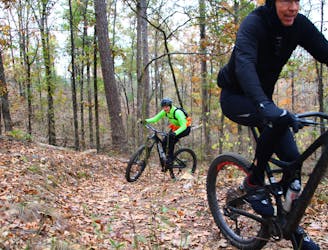
The Iron Mountain Trails (IMT) includes over 24 miles of sweet singletrack. The main trailhead located on Skyline Drive pretty much divides the trail system in half.
The south side trails include more extended climbs, but the descents are well-worth the climbs.
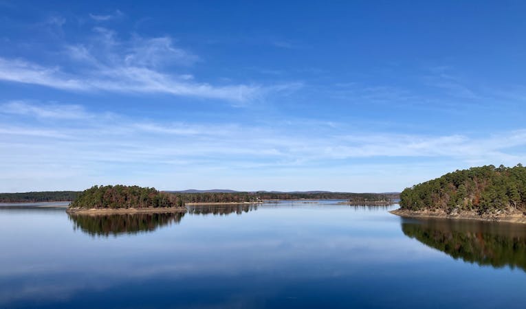
The north side trails are made up of several interconnecting loops. Unlike the south side trails, these trails circle around the hills, rather than going over the tops. This makes for a series of short, flowy ascents/descents through pine forest and along the lakeshore.
Trails on both sides of Skyline follow IMBA design standards, which avoids momentum-killing sharp turns on the descents and produces trails that protect the environment.
The Iron Mountain Campground is located a short ride from the nearest trail, and there is also camping located at the DeGray Lake Resort State Park a short drive away.
The Green Trail (GT) is located on the south side of Skyline Drive. The recommended direction to ride GT is clockwise. This will give riders a sweet, long descent that includes a couple of very nice jump features. Also riding clockwise, the climb back up the mountain has several switchbacks to break up the climb; a couple of these turns are somewhat technical for most cyclists.
But before you start your climb back up GT, be sure to ride the paved road across the bridge below the dam to ride Yellow Trail.
Moderate
Mostly stable trail tread with some variability, with unavoidable obstacles 8in/20cm tall or less. Other obstacles such as rock gullies and steep sections may exist. Ideal for lower intermediate riders.

The path is on completely flat land and potential injury is limited to falling over.
Close to help in case of emergency.
5 m away
Flowy, less technical fun trails without the extended climbs of the south side trails.
Easy Mountain Biking
335 m away
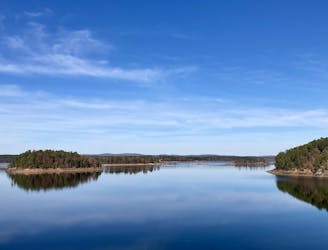
A long, flowy trail providing great views of Degray Lake.
Easy Mountain Biking
3.2 km away
Extended climb with a sweet, flowy descent.
Moderate Mountain Biking
4 routes · Mountain Biking