5 m away
Iron Mountain: Green Trail
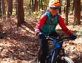
Fast and flowy singletrack that was so well designed that even on a loop ride there appears to be more downhill than up.
Moderate Mountain Biking
- Distance
- 8.9 km
- Ascent
- 139 m
- Descent
- 138 m
Flowy, less technical fun trails without the extended climbs of the south side trails.
Mountain Biking Easy

There are three trails north of Skyline Drive: the White Trail, Blue Trail, and Orange Trail. They are each independent loops that overlap.
If you begin your ride at the main trailhead on Skyline Drive, after crossing the highway you enter the Orange Trail. I recommend turning right to ride counter-clockwise. The direction doesn’t really matter on the White or Blue trails, but the Orange starts you off on a sweet, flowy descent this direction.
There are no momentum-killing sharp turns to impede your speed as you fly down the mountain. The trail crisscrosses the hillside and gently routes you down/up several drainages for an added adrenaline rush.
As you exit the Orange Trail and cross a gravel road you pick up the Blue Trail. This trail has very little elevation change and no technical features to overcome. It just flows gently across the hillside. connecting the two other trails together.
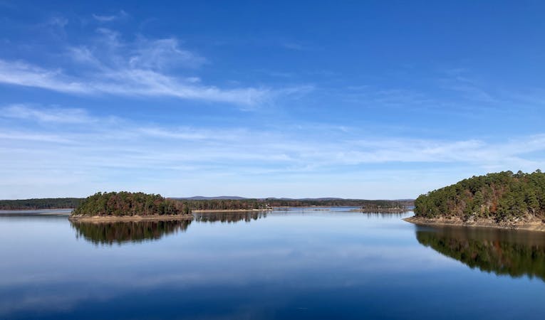
The White Trail flows around the hills and along the lakeshore in several sections, making for great photo ops. This is the most recent trail constructed at Iron Mountain and is smooth-surfaced without many rocks.
Rather than climbing up and over the small hills in the area, the White Trail routes you roller coaster-fashion around the hillside, with gentle rises and descents. It makes for a fun, enjoyable ride that both beginners and experienced cyclists will enjoy. You can ride the White as fast as you like because there are no features or steep climbs to slow you down.
As you finish out the White, you continue on the Orange Trail for a short climb back up to the parking lot.
Easy
Mostly smooth and non-technical singletrack with unavoidable obstacles 2in/5cm tall or less. Avoidable obstacles may be present. Ideal for beginner riders.

The path is on completely flat land and potential injury is limited to falling over.
Close to help in case of emergency.
5 m away
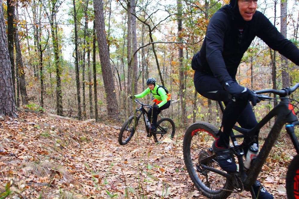
Fast and flowy singletrack that was so well designed that even on a loop ride there appears to be more downhill than up.
Moderate Mountain Biking
339 m away
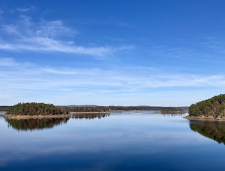
A long, flowy trail providing great views of Degray Lake.
Easy Mountain Biking
3.2 km away
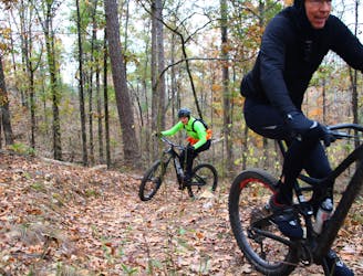
Extended climb with a sweet, flowy descent.
Moderate Mountain Biking
4 routes · Mountain Biking