Tunnel Vision Loop
The easiest-to-navigate loop through the Little Sugar Trail System.
Moderate Mountain Biking
- Distance
- 42 km
- Ascent
- 897 m
- Descent
- 897 m
An approachable 12-mile loop through the Little Sugar Trail System.
Mountain Biking Moderate

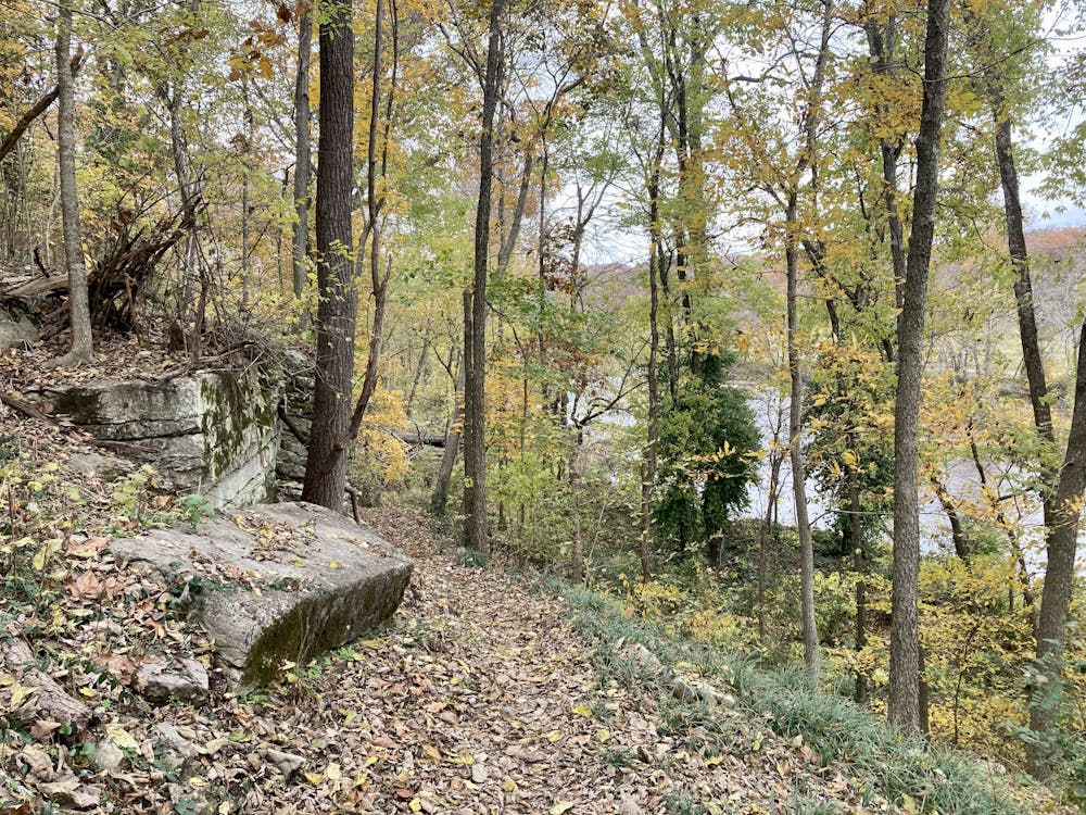
The Little Sugar Trail System is an expansive spider web of singletrack that offers some 50+ miles of fantastic mountain biking. If you're not quite up for the 36-mile Little Sugar Epic or even the 25-mile Tunnel Vision Loop, try this 12-mile loop combining Bamboozled and Tunnel Vision instead.
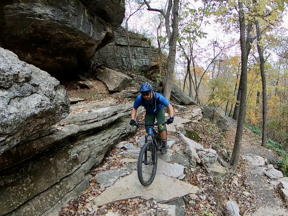
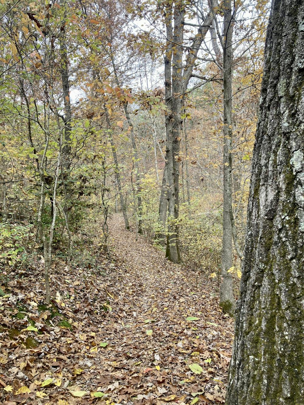
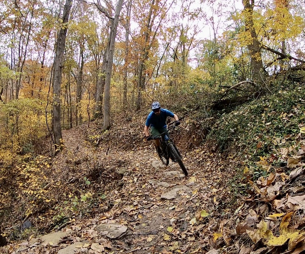
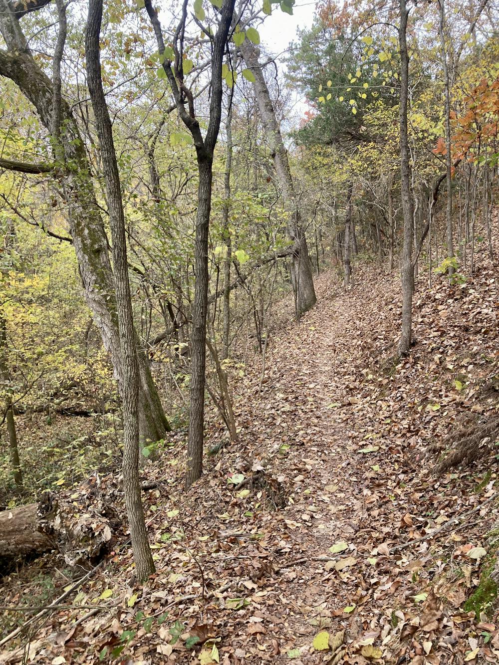
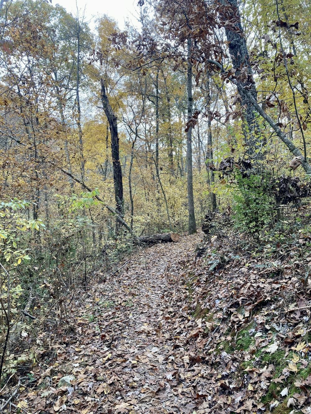
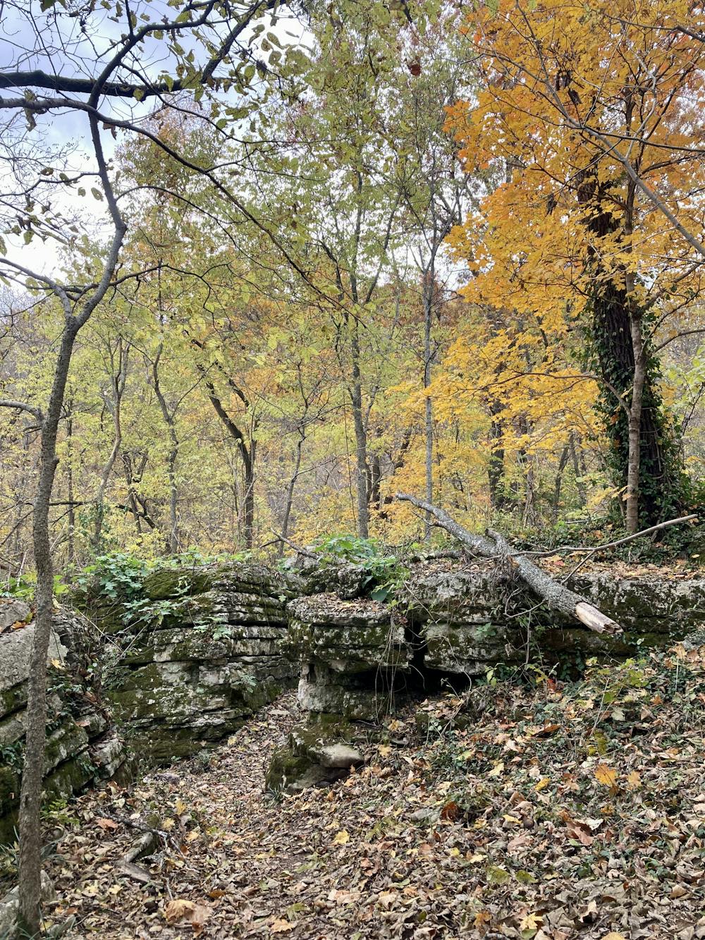
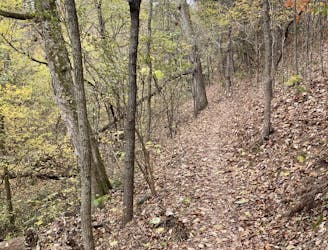
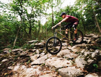
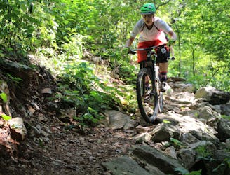
Tunnel Vision anchors this loop. A fantastic intermediate trail that swoops and flows up and down the hillsides of Northwestern Arkansas, this flowy machine-built trail is largely non-technical. However, some tough obstacles can crop up in the rockier sections at the north end of this loop.
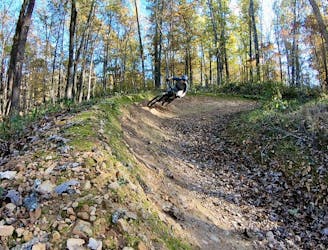
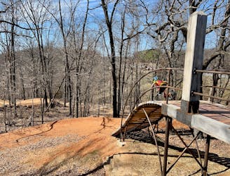
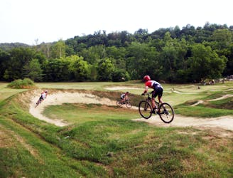
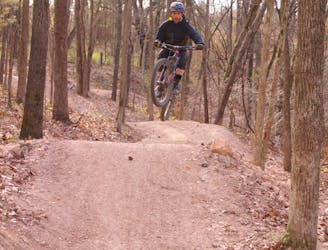
At the north end of this route, you'll also find a gravity zone: a small group of trails that offer a much more technical, rowdier experience with rock-filled downhill lines, flowy jump trails, and more. This zone is anchored by the Staggerwing Trail, which is home to a fun jump line with spicy optional rock lines nearby. You can run a few laps in this zone quite quickly, adding some additional spice and mileage to your ride.
Shortly after passing the gravity zone, you'll reach the turn onto Bamboozled. The trail character is quite similar, with machine-built flowy trail tread, berms, and short, punchy climbs.
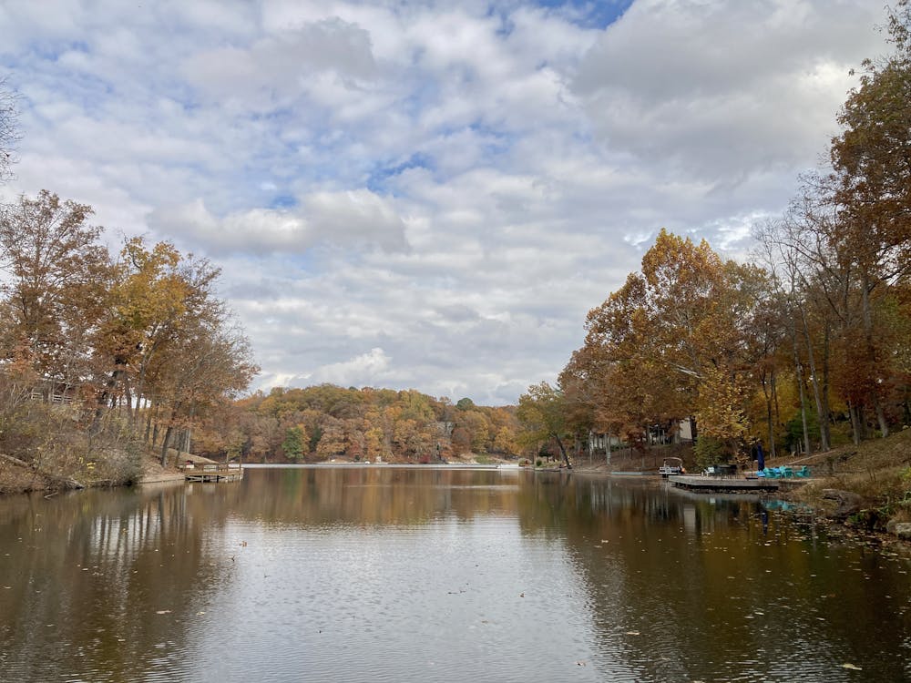
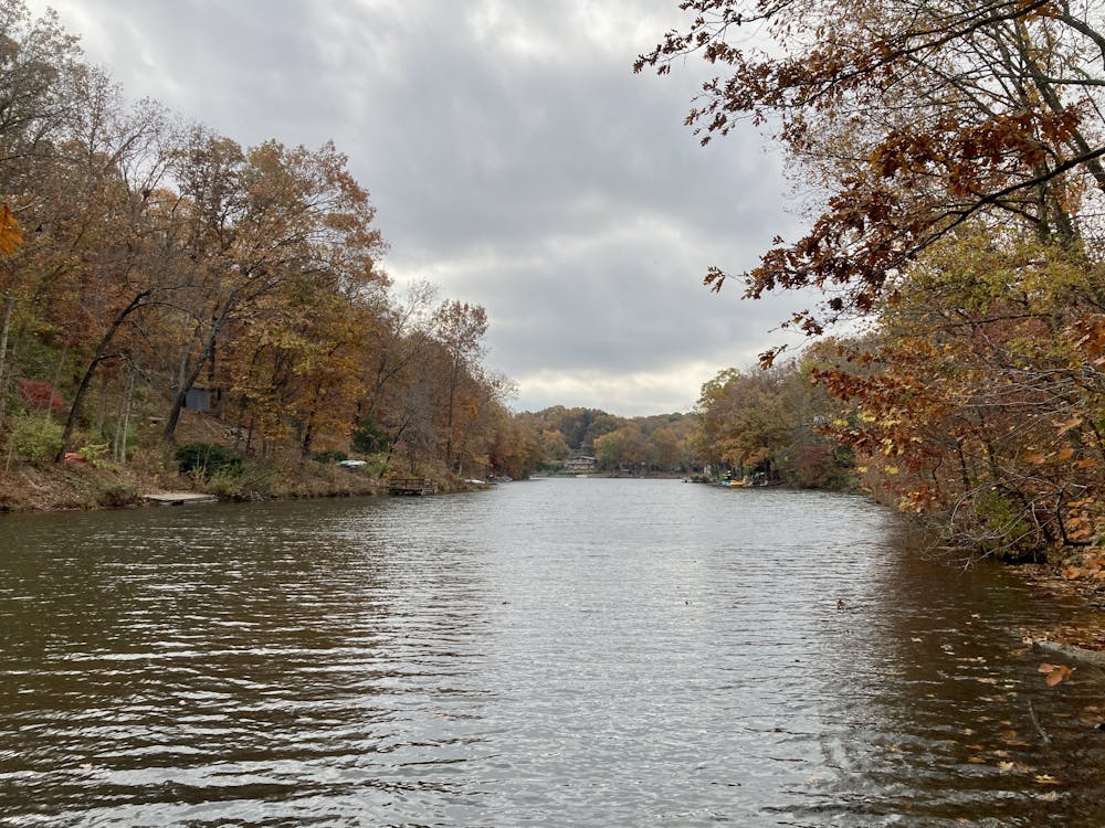
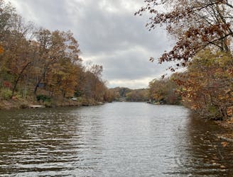
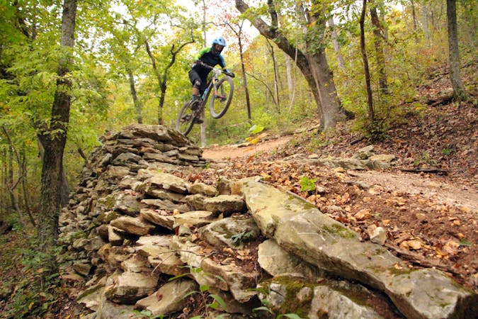
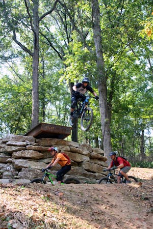
There are also a few optional gravity lines on either side of the valley leading down to Lake Avalon. There's one running downhill run next to the Bamboozled trail (running in the direction as mapped), and one parallel to the Lago Vista Trail (running against the route direction as mapped). These both offer some substantial tabletop jumps and gap jumps for advanced-level jumpers.
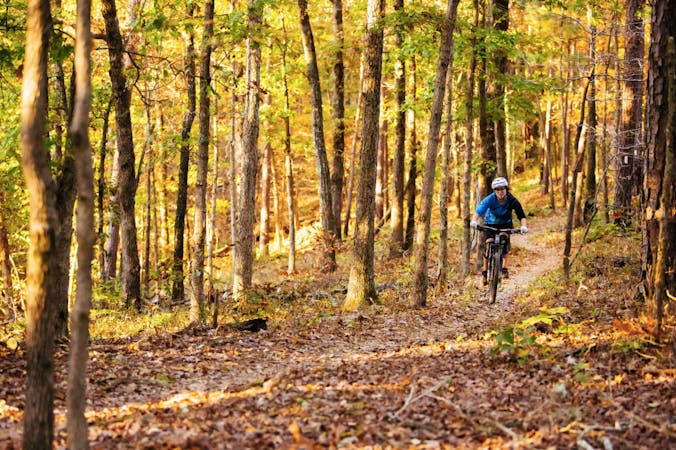
The loop wraps up on the Lago Vista and Play Thru trails, although additional options exist to extend the ride. You could even pedal over to the Huntley Gravity Zone for some more downhill laps if you desire.
Moderate
Mostly stable trail tread with some variability, with unavoidable obstacles 8in/20cm tall or less. Other obstacles such as rock gullies and steep sections may exist. Ideal for lower intermediate riders.

The trail contains some obstacles such as outcroppings and rock which could cause injury.

Close to help in case of emergency.
The easiest-to-navigate loop through the Little Sugar Trail System.
Moderate Mountain Biking
2.8 km away
The most efficient way to hit all the runs in the Huntley Gravity Zone.
Difficult Mountain Biking
4.8 km away
Sweet flowy singletrack that includes features for all levels of mountain bikers.
Difficult Mountain Biking
7.1 km away
Make the most of this incredible trail system with this long-distance loop.
Difficult Mountain Biking
8.6 km away
Armadillo’s Last Stand and Tatamagouche Trails are both twisting, turning, undulating trails within the Outer Loop trail of Phase I.
Difficult Mountain Biking
8.7 km away

A fast intermediate jump line with surprisingly big hits.
Moderate Mountain Biking
8.7 km away
A high-speed jump line with some large table tops and incredible bridge features.
Difficult Mountain Biking
8.7 km away
The OG jump line at Slaughter Pen
Extreme Mountain Biking
8.7 km away
More old school single track that flows along the hillside then switches back up the hillside for short climbs and descent.
Difficult Mountain Biking
8.7 km away

A rock slab-filled black diamond descent.
Severe Mountain Biking
13 routes · Mountain Biking
10 routes · Mountain Biking
5 routes · Mountain Biking