Ouita Coal Trails
An enjoyable beginner-friendly, very accessible, trail located just a mile off Interstate 40.
Mountain Biking Easy
- Distance
- 10 km
- Ascent
- 106 m
- Descent
- 106 m
- Duration
- 0-1 hrs
- Low Point
- 101 m
- High Point
- 118 m
- Gradient
- 1˚

In the 1800s the Russellville area was becoming a prosperous mining community. The Ouita Coal Company Trail (OCC) is named after the area’s first established mine.
- •
- •
- •
Description
The trail begins directly behind the map in the parking lot. Be sure, after visiting the nearby restroom, you don’t follow the paved road outside its entrance, which I did on my first time there.
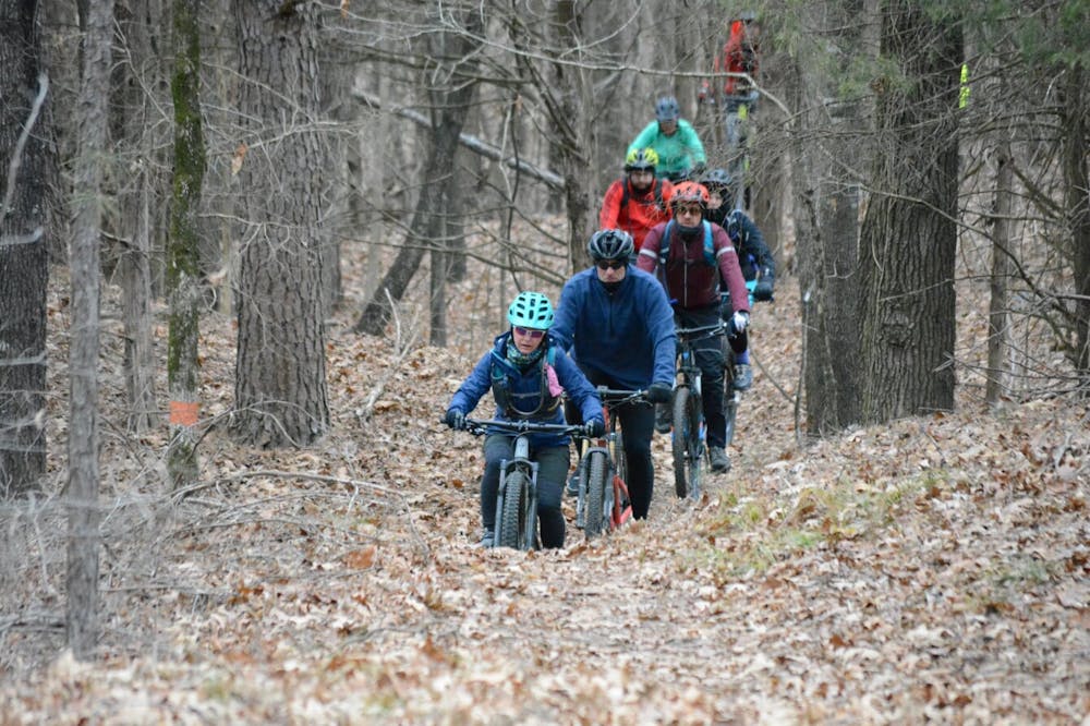
This is a nice, flowy, entry-level trail that is less than a mile off I-40. So if you are on a road trip passing through Arkansas, it’s really convenient to stop off for a quick mountain bike ride to stretch your legs.
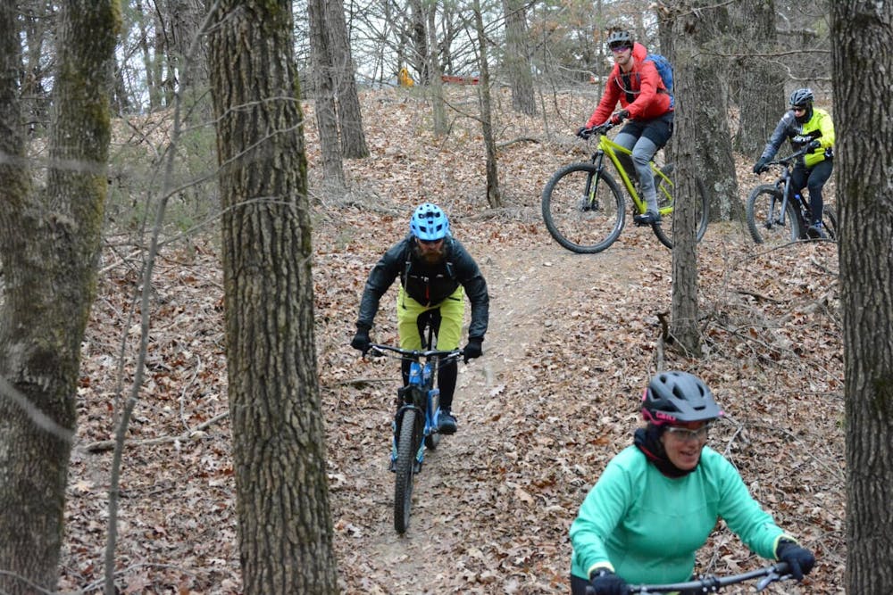
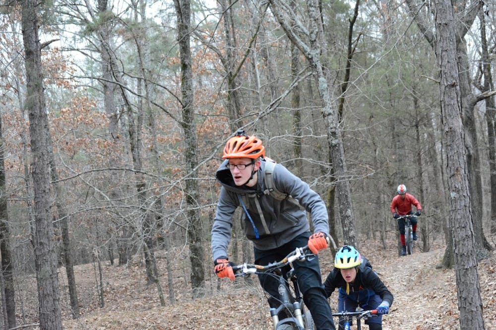
The trail meanders through trees, with just enough exposed roots across the trail to make it interesting. There are also some smallish rocks to maneuver around or over.
This is almost a no-brake trail, with several short, easy climbs and twisting descents that are so well laid out they won’t kill your momentum.
The OCC is a lollipop course, with a short beginning/ending out-and-back that routes riders to a big loop.
Once you reach the loop, it can be ridden either direction. I favor riding counter-clockwise because I believe the flow is a little better on the descents. Plus, when riding this direction, you can follow the simple cycling mantra—if you stay right you can’t go wrong.
There are several connector trails across the middle of the loop you can use to add a few more miles, or cut your ride shorter. But despite the junctions, you aren’t going to get lost.
The trail is bordered by I-40 on one side and beautiful open views of Lake Dardanelle on the opposite. Despite its proximity to the interstate, the highway doesn't disrupt your solitude. Other than the ride to reach the loop, you will hardly be aware it’s there.
Difficulty
Easy
Mostly smooth and non-technical singletrack with unavoidable obstacles 2in/5cm tall or less. Avoidable obstacles may be present. Ideal for beginner riders.
Low Exposure

The path is on completely flat land and potential injury is limited to falling over.
Remoteness
Close to help in case of emergency.
Best time to visit
Features
- Flow
- Picturesque
- Singletrack
- Roots