3 m away
V-tree

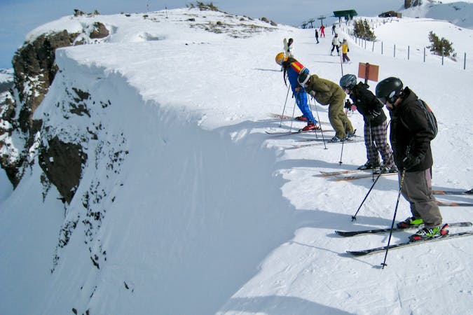
Incredibly steep and exposed line that results in a decent amount of adrenaline
Extreme Freeride Skiing
- Distance
- 219 m
- Ascent
- 0 m
- Descent
- 140 m

Steep exposed line that has an icefall cliff that leads into a chute
Freeride Skiing Extreme

This is a popular freeride skiing route which is generally considered to be extreme. It's very remote, it features medium exposure (e2) and is typically done between November and April. From a low point of 2.7 km to the maximum altitude of 2.9 km, the route covers 188 m, 0 vertical metres of ascent and 128 vertical metres of descent. It's graded 3.2 and Labande grade 6. You'll need skins to complete it safely.
Steep exposed line that has an icefall cliff that leads into a chute from the summit of Thunder Mountain. The icefall may disappear on massive snowpack years. The north facing chute holds generally high quality snow.
Extreme
Extreme skiing terrain above 45 degrees. These routes are reserved for experienced experts.
3 m away

Incredibly steep and exposed line that results in a decent amount of adrenaline
Extreme Freeride Skiing
162 m away

The most conservative line in the zone that avoids rocks and cliffs
Difficult Freeride Skiing
514 m away

Great powder hike-to run above Rabbit Runs with a few rock features
Difficult Freeride Skiing
891 m away

Classic early season overhanging chute that funnels into Jim's Run
Difficult Freeride Skiing
933 m away

An extremely steep chute that generally has a cornice with a runout into Chamoix
Severe Freeride Skiing
949 m away

Short and extremely steep and rarely skied line above Chamoix
Extreme Freeride Skiing
990 m away

Hidden gem of a run that has steeps, cliffs, glades and great north facing snow
Difficult Freeride Skiing
1.2 km away

Series of chutes located in Wagon Wheel Bowl off of Chair 6
Difficult Freeride Skiing
1.7 km away

A ‘U’ shaped wide chute just to the left of Heart Chute with incredible steep left wall.
Difficult Freeride Skiing
1.7 km away

A narrow chute shaped like a heart surrounded by large volcanic walls that funnel into a large cliff.
Extreme Freeride Skiing

7 routes · Freeride Skiing