7.4 km away
Three Sisters Falls
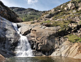
Steep and exposed hike to a stack of three large waterfalls in a granite basin
Difficult Hiking
- Distance
- 5.7 km
- Ascent
- 304 m
- Descent
- 304 m
Descend into a river gorge with a crisp waterfall and swimming hole.
Hiking Difficult

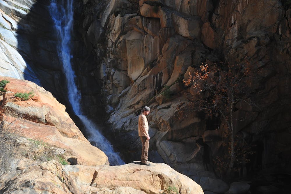
Despite the dryness of the desert, water does flow in the hills around San Diego, and water in the hills means waterfalls. They are not numerous, so wherever they occur are special places. One of the most enchanting is Cedar Creek Falls. It is nearly 100 feet tall, dropping through a steep sluice of polished granite into a large swimming hole, and it flows reliably for much of the year.
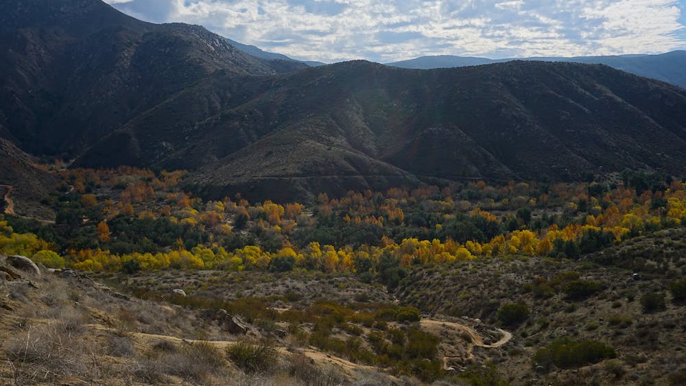
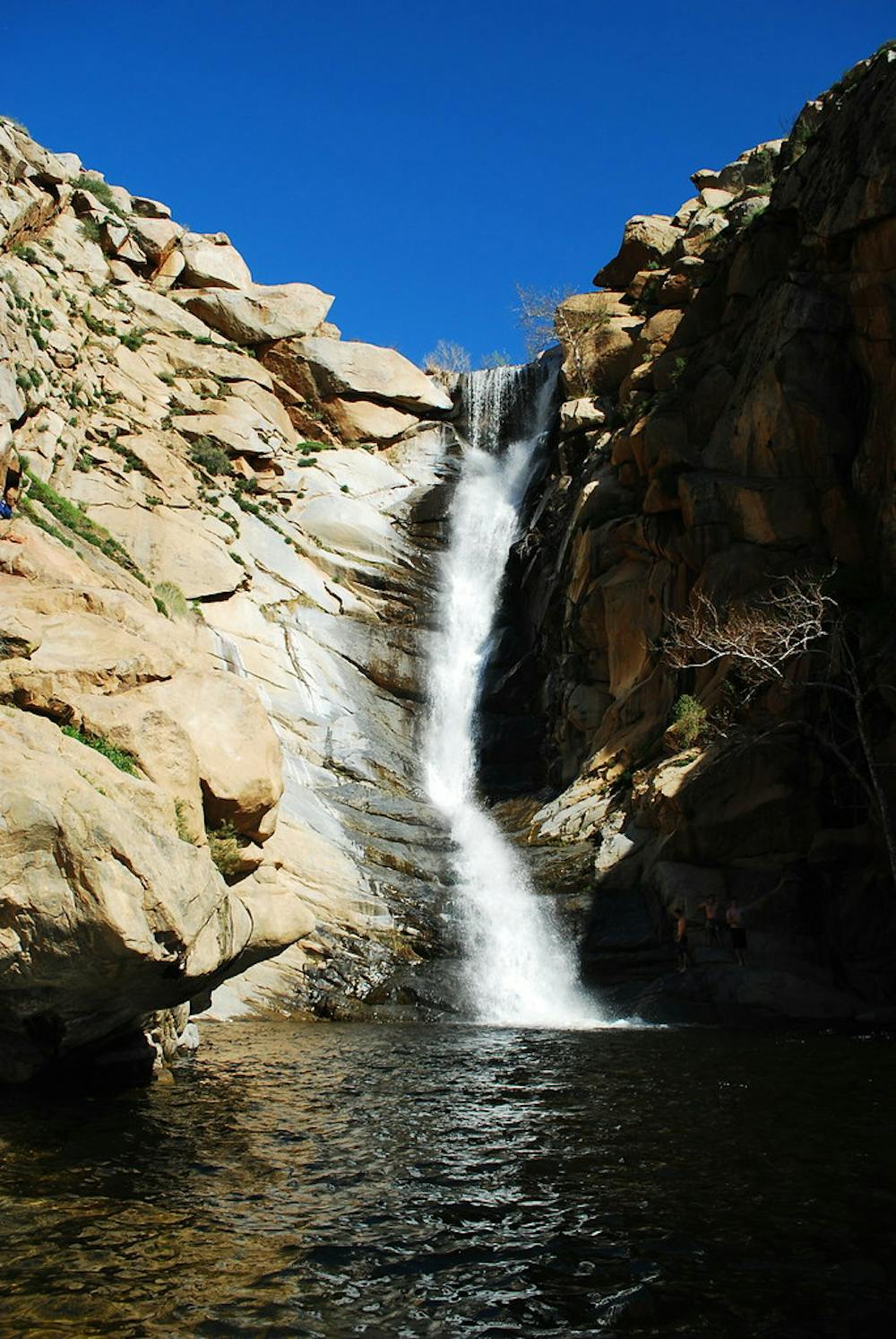
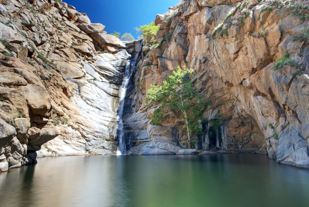
To witness the falls with the most water, go after a winter or spring rainstorm. The water is always cold, and the canyon shady, so swimming is most comfortable in late spring when temperatures rise. In summer, the falls typically dry up and the water becomes stagnant—not nearly as pleasant for taking a dip. But the hike itself is beautiful as well, and good at any time of year even though summer is very hot. Come in the fall for orange leaves on the sycamores and oaks that line the canyon bottom, and winter for refreshingly cold temperatures.
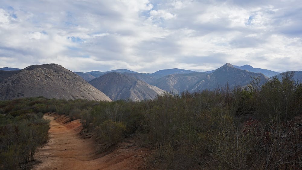
Getting to the falls is easy because it’s all downhill, but that means you’ll work up a sweat on the return journey. The trail is a long series of gentle switchbacks leading into the broad gorge of the San Diego River. When Cedar Creek Falls is flowing, the river usually has water also, and you may have to get your feet wet to cross. There is little shade until you enter the side canyon of Cedar Creek, so other than the brief refreshment of soaking your feet, expect to be hot and thirsty for most of the hike. Bring lots of water and snacks.
The trail is well defined and well signed. Please avoid the temptation to shortcut turns even though lots of people clearly do it. You can help by not making the erosion worse. In the past, the trail and waterfall suffered serious damage and litter from overcrowding and irresponsible users, so the Forest Service implemented a permit system which has cut back on impact significantly. Also, scrambling on the rock around the waterfall is now off limits because too many injuries have happened. You must agree to the rules and obtain a permit in advance in order to go, with no exceptions at any time of year. There is a maximum number of permits on any given day, so the sooner you reserve yours, the better. Visit Recreation.gov to learn more and reserve permits.
Sources: https://www.recreation.gov/permits/234735 https://www.fs.usda.gov/recarea/cleveland/recarea/?recid=80293 https://californiathroughmylens.com/cedar-creek-falls/
Difficult
Hiking trails where obstacles such as rocks or roots are prevalent. Some obstacles can require care to step over or around. At times, the trail can be worn and eroded. The grade of the trail is generally quite steep, and can often lead to strenuous hiking.

The trail contains some obstacles such as outcroppings and rock which could cause injury.
Away from help but easily accessed.
7.4 km away
Steep and exposed hike to a stack of three large waterfalls in a granite basin
Difficult Hiking
17 routes · Hiking