2.5 km away
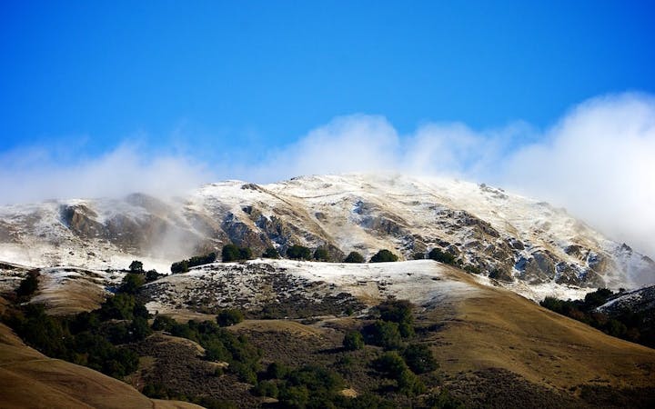
Montara Mountain from Gray Whale Cove
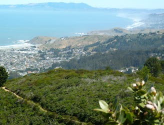
A sea-to-summit hike with panoramic views the entire way.
Moderate Hiking
- Distance
- 9.5 km
- Ascent
- 543 m
- Descent
- 543 m
An easy hike with the best ocean views in the Bay Area.
Hiking Easy

Devil's Slide is a famous walk/hike because it provides some of the best ocean views anywhere in the Bay Area. Despite the intimidating name, Devil's Slide is actually a very easy, wide, paved path running for 1.3 miles one-way along the top of a steep cliff face overlooking the ocean below. With no technical challenges and only mellow grades, it's a very family-friendly walk and is also ADA-accessible.
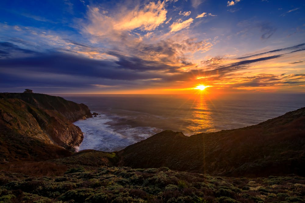
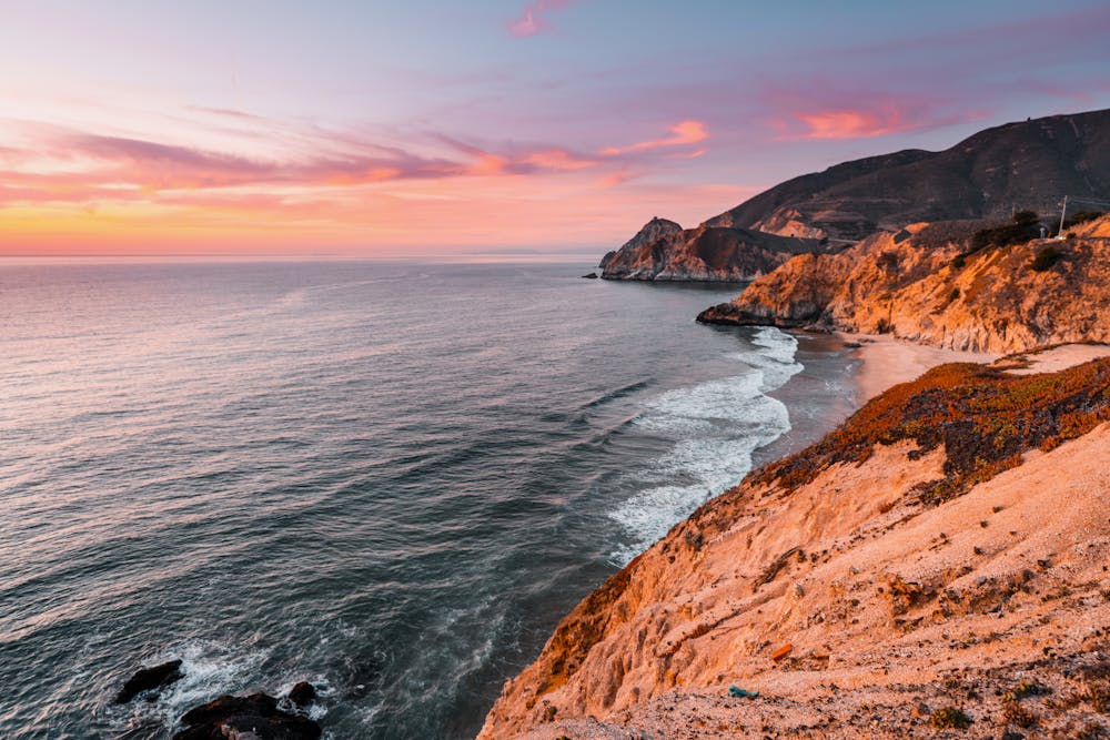
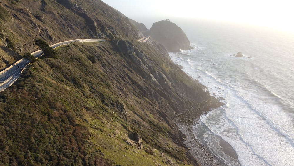
In addition to its scenic views, the trail offers several convenient amenities, including benches for resting along the way, pet waste stations, bike racks, drinking fountains, and restrooms.
For a longer hike, you can connect to more rugged trails in Pedro Point Headlands or the Historic Old Colma Road.
Sources: https://www.californiabeaches.com/attraction/devils-slide-trail/ https://californiacrossings.com/devils-slide-trail-california/ https://www.smcgov.org/parks/devils-slide-trail https://www.california.com/your-guide-to-exploring-and-hiking-devils-slide-california/
Easy
Walking along a well-kept trail that’s mostly flat. No obstacles are present.

The path is on completely flat land and potential injury is limited to falling over.
Close to help in case of emergency.
2.5 km away
A sea-to-summit hike with panoramic views the entire way.
Moderate Hiking
7 routes · Hiking

13 routes · Hiking · Trail Running