2.5 km away
Park Ridge Trail

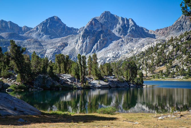
Traverse a scenic ridge on this hike.
Moderate Hiking
- Distance
- 7.9 km
- Ascent
- 296 m
- Descent
- 296 m
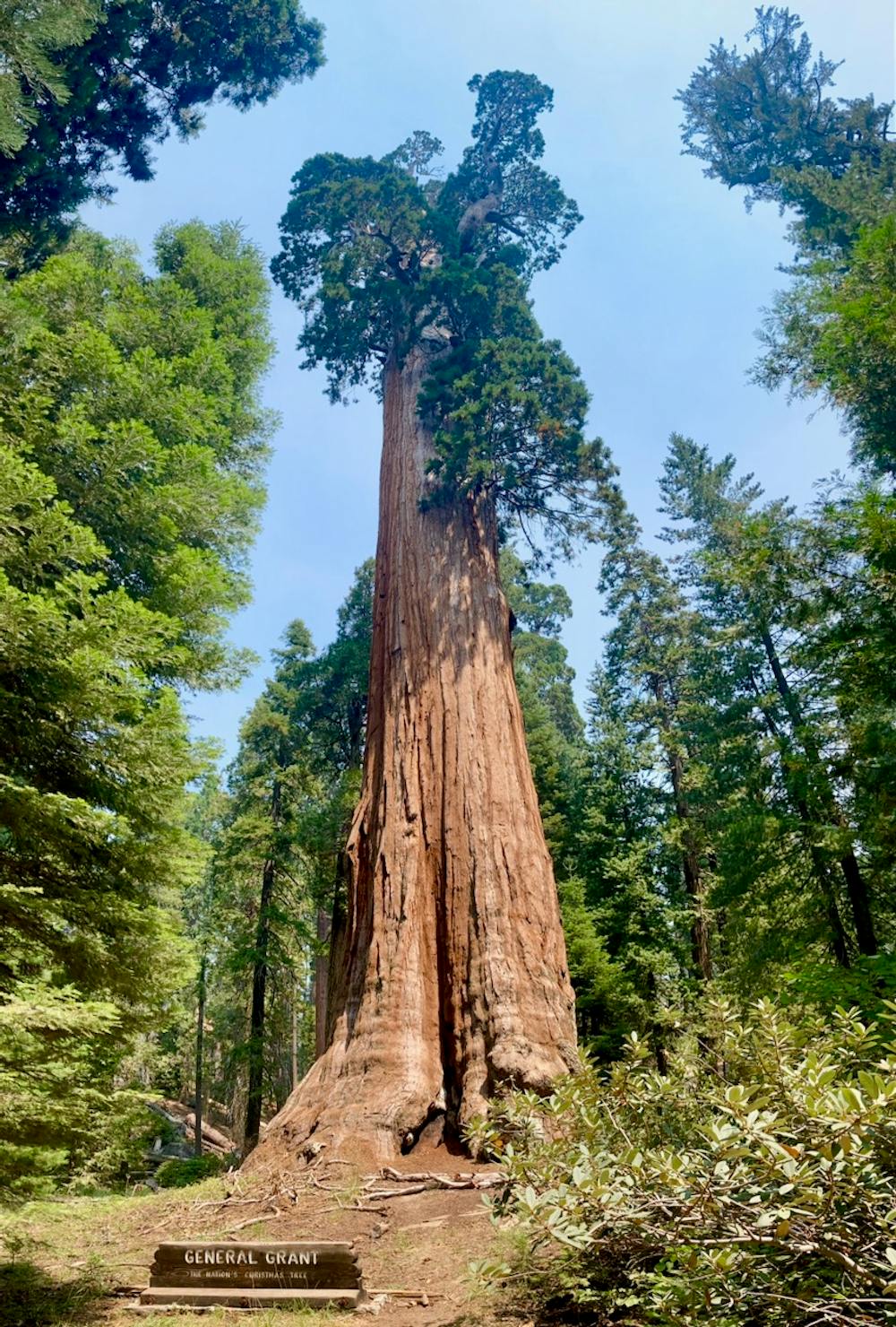
The second-largest tree in the world!
Hiking Easy

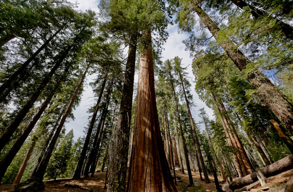
The General Grant Tree is the second-largest tree in the world, ranked closely after the nearby General Sherman Tree in Sequoia National Park. The General Grant Tree "also features the third largest footprint of any living giant sequoia, measuring 107.6 ft (32.8 m) in circumference at ground level," according to Wikipedia).
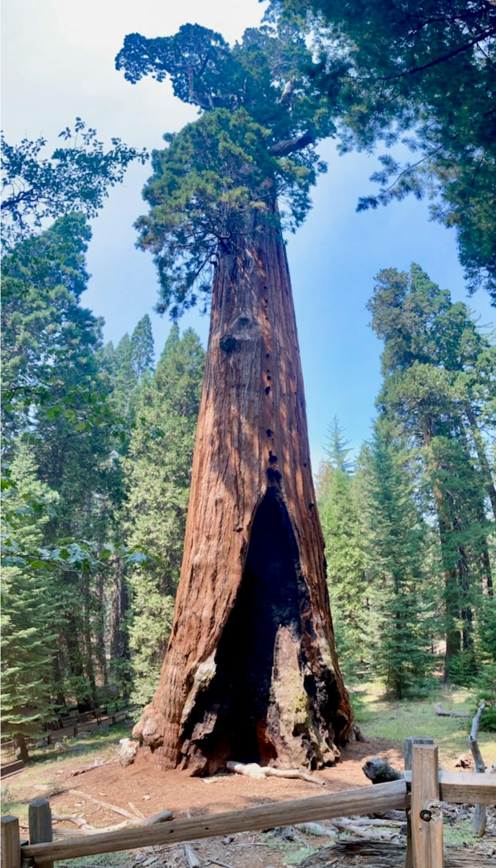
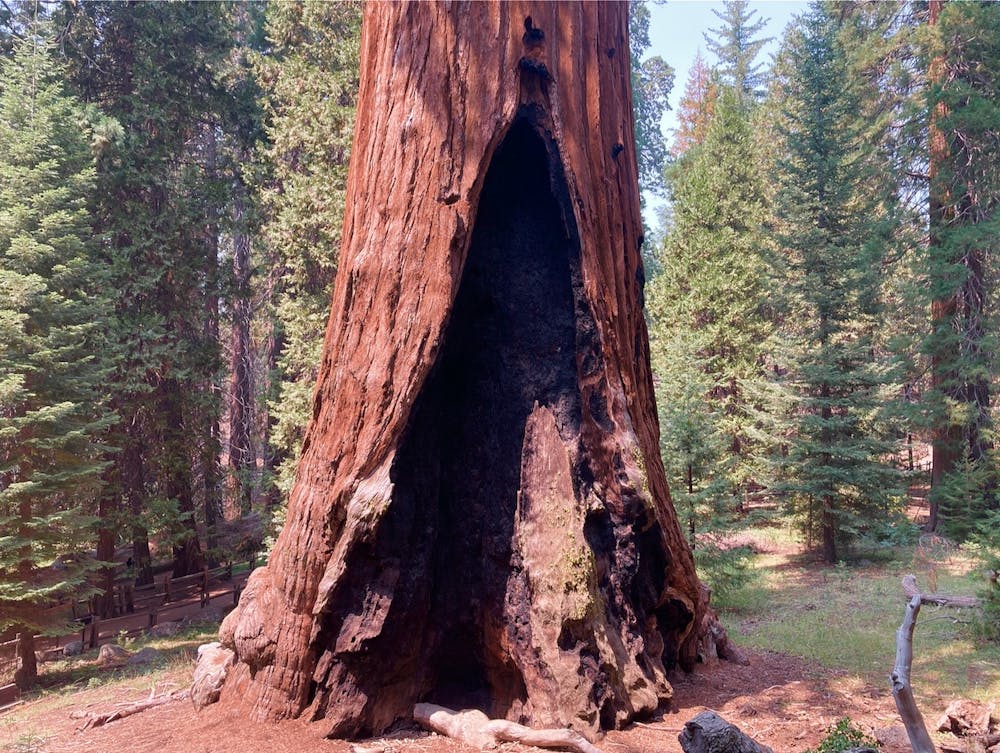
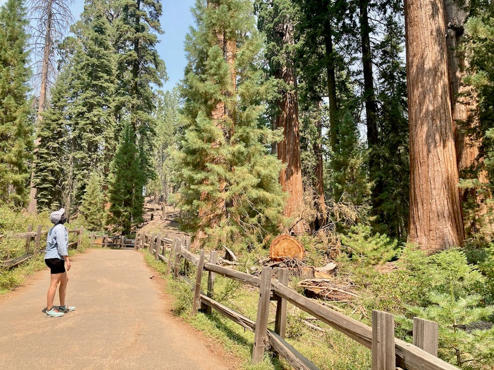
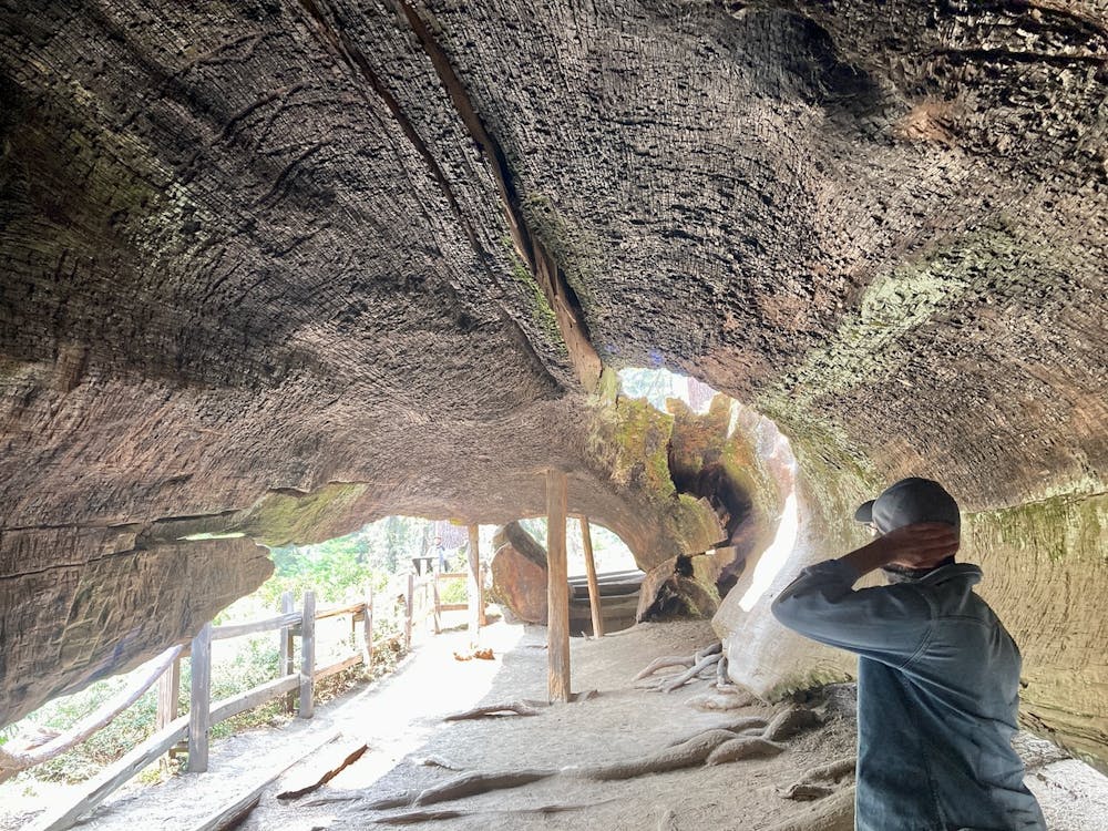
The hike to reach the General Grant Tree is short and easy, following paved trails the entire way, but that's no less reason to see this natural wonder! Along the way to the towering General Grant, you'll pass by other incredible sequoias and even get to walk through the fallen trunk of a long-dead tree. Getting to actually walk through a tree helps drive home the scale of these immense giants, at least a little bit.
Be sure to take your time soaking in the grandeur of these otherworldly trees—this is one of the planet's most special places. After you've tried to take the requisite selfie with the tree, consider heading further into the woods on the other connecting trails for a longer hike.
Easy
Walking along a well-kept trail that’s mostly flat. No obstacles are present.

The path is on completely flat land and potential injury is limited to falling over.
Close to help in case of emergency.
2.5 km away
Traverse a scenic ridge on this hike.
Moderate Hiking
2.9 km away
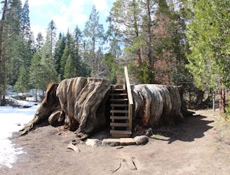
Hike to the mammoth stump of the Mark Twain Tree.
Easy Hiking
6.4 km away
Enjoy stunning sequoias but escape the crowds on this remote hike.
Moderate Hiking
7 routes · Hiking

14 routes · Hiking

63 routes · Alpine Climbing · Hiking