2.5 km away
General Grant Tree
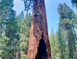
The second-largest tree in the world!
Easy Hiking
- Distance
- 852 m
- Ascent
- 26 m
- Descent
- 26 m
Traverse a scenic ridge on this hike.
Hiking Moderate

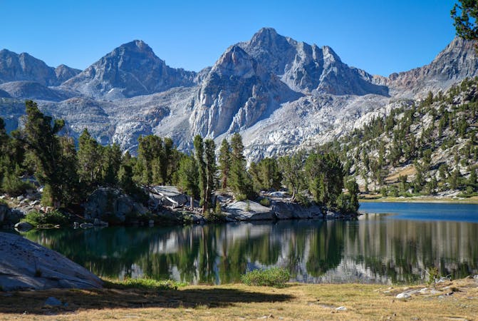
The Park Ridge Trail traverses a scenic ridge, with a plethora of opportunities to enjoy long-range views over the surrounding mountains and forests. The hike begins at Panoramic Point, which itself offers a beautiful overlook of "a 30 mile section of the central Sierra Nevada including Kings Canyon and its adjacent mountains," according to AmericanSouthwest.net.
From Panoramic Point, you'll traverse south along the top of the ridge on the singletrack. This trail undulates up and down as it follows the rises and dips of the ridge. If you hike the entire 4.9-mile round-trip distance, you'll climb and descend 971 vertical feet.
"The trail ends at a fire lookout that is sometimes staffed by a resident volunteer," according to Backpacker.com. When the volunteer is there, hikers can access the top of the tower for a truly spectacular view of the region!
Sources: https://www.americansouthwest.net/california/kingscanyon/park-ridge-trail.html https://www.backpacker.com/trips/best-hikes-in-kings-canyon-national-park
Moderate
Hiking along trails with some uneven terrain and small hills. Small rocks and roots may be present.

The trail contains some obstacles such as outcroppings and rock which could cause injury.
Away from help but easily accessed.
2.5 km away
The second-largest tree in the world!
Easy Hiking
4.2 km away
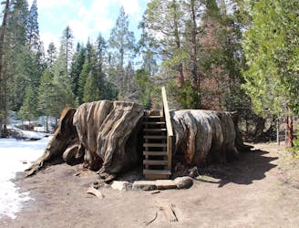
Hike to the mammoth stump of the Mark Twain Tree.
Easy Hiking
5.6 km away
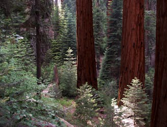
Enjoy stunning sequoias but escape the crowds on this remote hike.
Moderate Hiking
7 routes · Hiking

14 routes · Hiking

63 routes · Alpine Climbing · Hiking