5.4 km away
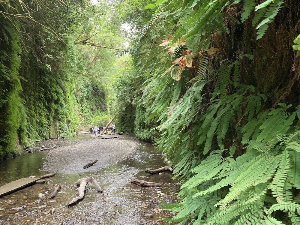
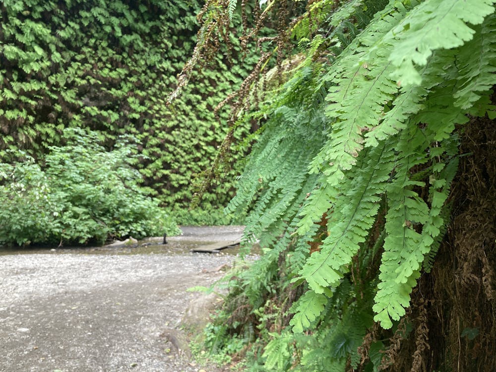
Fern Canyon
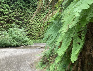
Get a taste of Jurassic Park in this prehistoric fern-lined canyon.
Moderate Hiking
- Distance
- 1.6 km
- Ascent
- 45 m
- Descent
- 45 m
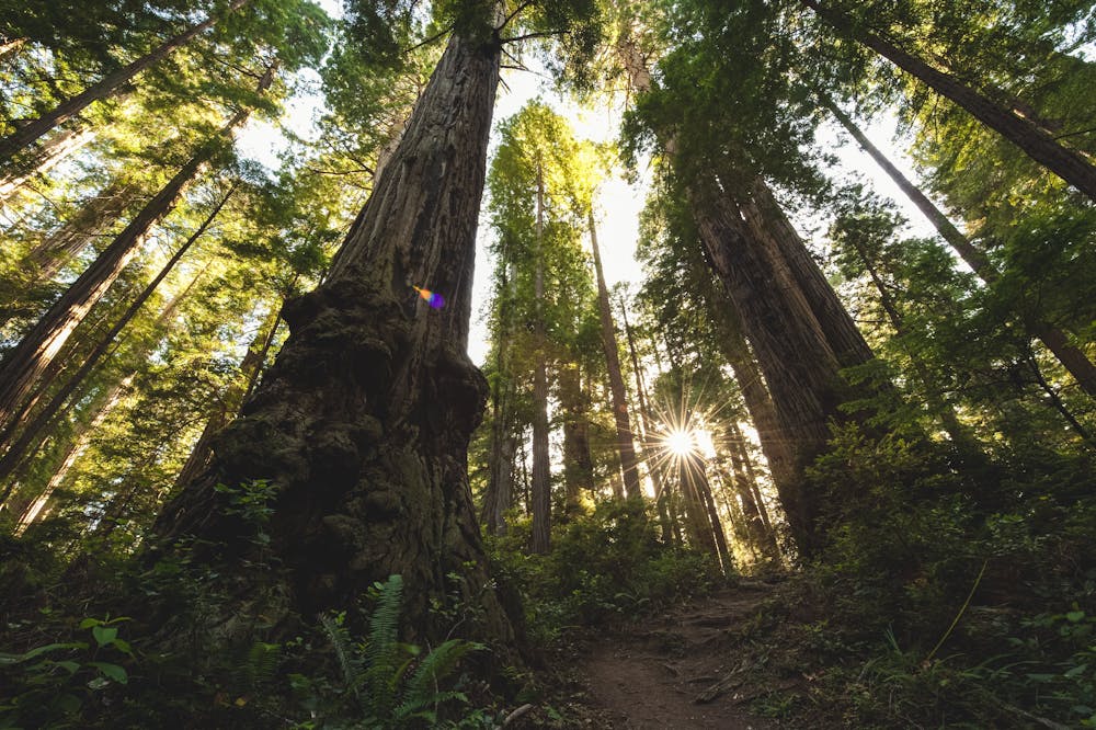
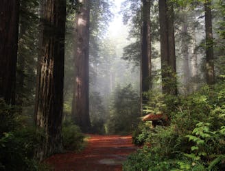
One of the best redwood hikes in the world!
Hiking Moderate

The James Irvine Trail is "possibly the best redwoods hike in the world," according to Lana Law on PlanetWare.com. "This trail runs along hillsides and ridges through an incredible display of old-growth redwoods," Law continues.
Unlike the many short loop hikes through stunning redwood groves, the James Irvine Trail is a lengthy point-to-point trail that covers some serious ground. If you hike the trail as mapped, you'll cover over 10 miles and 1,700 feet of elevation gain.
The route begins at an easily-accessible parking lot just off the highway. From there, "the first section of the 4.5 mile (7.2 km) James Irvine Trail will be in old-growth redwood forests before entering the spruce forests of the coast," according to the NPS. The trail runs along a low ridge, paralleling Godwood Creek. The route ends at the popular Fern Canyon trail, making a quick loop through the canyon (and glimpsing the Pacific Ocean) before returning to the trailhead on the same stretch of singletrack.
Unlike many redwood hikes, the James Irvine Trail tends to be a bit rougher and more off-camber, providing a little more hiking challenge. Roots, bridges, and mud can all be slippery due to the regular rains and mist from the Pacific Ocean. If you're looking for a redwood hike that provides a bit more spice, this is it!
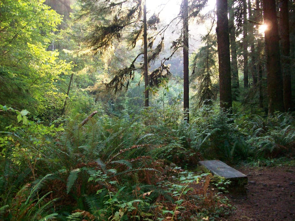
Moderate
Hiking along trails with some uneven terrain and small hills. Small rocks and roots may be present.

The trail contains some obstacles such as outcroppings and rock which could cause injury.

Little chance of being seen or helped in case of an accident.
5.4 km away
Get a taste of Jurassic Park in this prehistoric fern-lined canyon.
Moderate Hiking
6.7 km away
A family-friendly hike in Redwood National Park.
Easy Hiking

14 routes · Hiking

6 routes · Hiking