4.9 km away
Mount Diablo Loop from Mitchell Canyon
The worthy way to summit Mount Diablo: hiking it bottom to top on remote and super-scenic trails.
Difficult Hiking
- Distance
- 21 km
- Ascent
- 1.2 km
- Descent
- 1.2 km

A scenic circuit around the higher elevations of the Bay Area's most prominent mountain.
Hiking Moderate

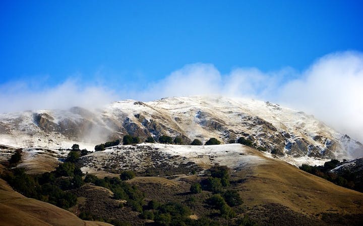
Mount Diablo is the prominent mountain that rises east of the Bay Area, visible from San Francisco and most of the cities around. At 3,849 feet above sea level, and the highest point for many miles, views from the top are simply incredible. You can see out over the Bay and all the terrain that surrounds it. The Grand Loop is a circuit linking multiple trails around the mountain’s higher elevations. It serves up views in all directions and tours the diverse environments that thrive on its slopes.
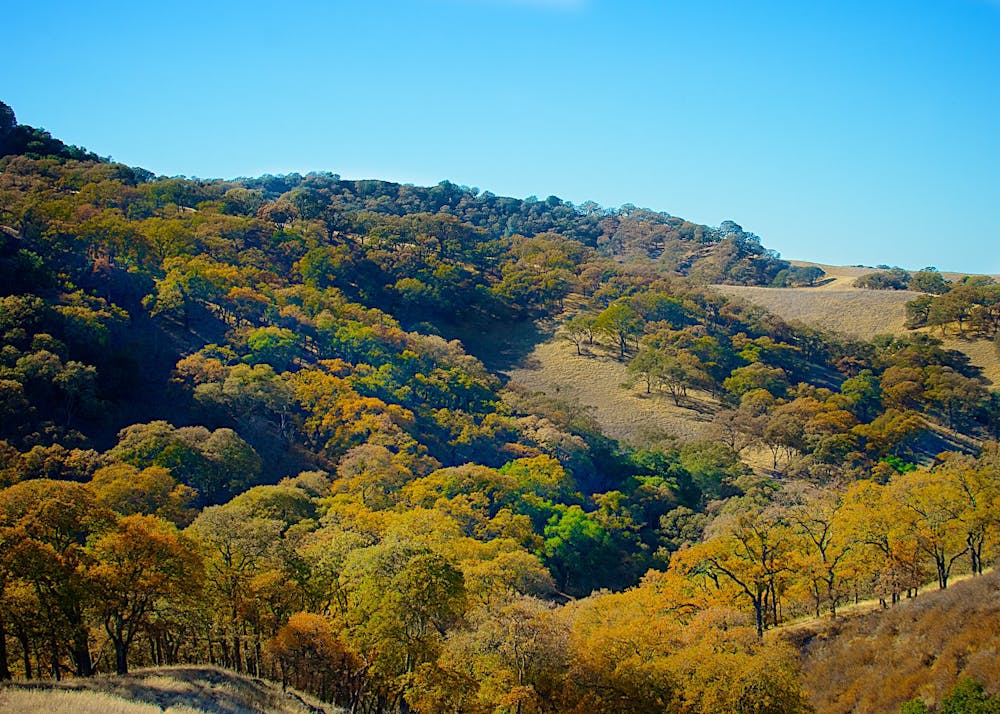
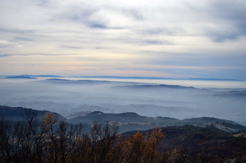
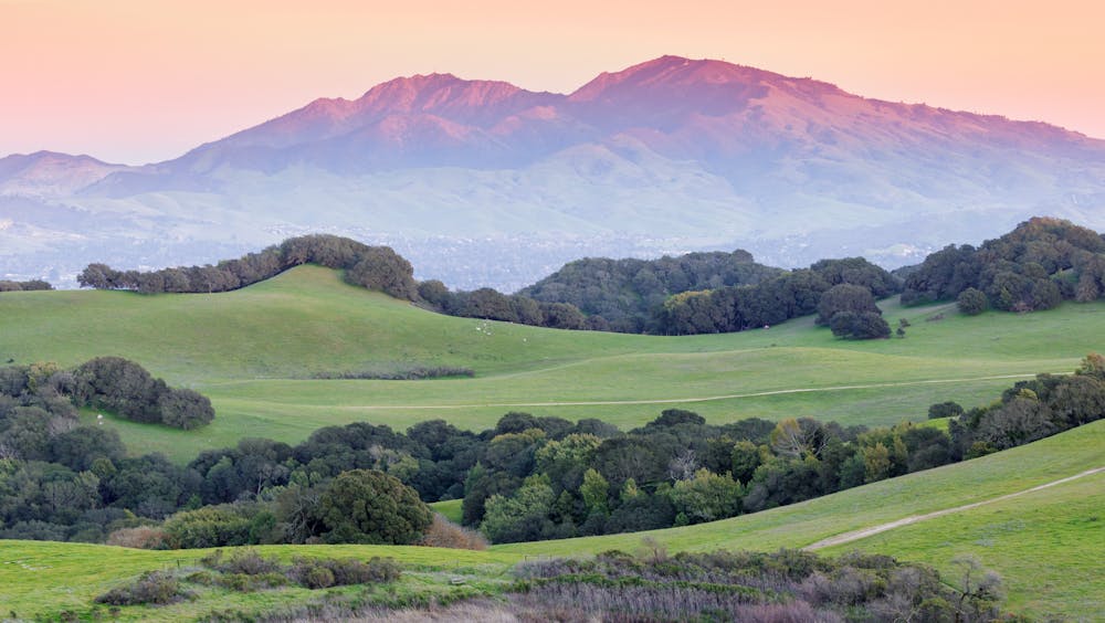
You can begin from the state park visitor center on top of the mountain, but starting lower breaks up the elevation gain. Putting in a little work to get to the top makes the summit views even more rewarding. Therefore, the hike as mapped here begins at Diablo Canyon Overlook and Juniper Campground.
The route starts on Juniper Trail, which climbs immediately up a steep, wooded hill to reach a ridgeline that it more or less follows all the way to the summit. The ascent is mostly gradual, but a few parts are quite steep. On a sunny day, expect to get hot and sweaty because shade is scarcer than you might wish. The advantage of sparse vegetation is the great view as you go up.
Juniper trail crosses the Summit Road once, then meets with the large overflow parking lot just beneath the summit. To continue to the true summit, where the visitor center sits, you must cross this lot and follow the road for a short distance. Alternatively, if you don’t mind skipping the actual summit, you can continue on North Peak Trail, which is the route of the Grand Loop. If you go to the summit, you will have to backtrack a bit to get on North Peak Trail.
This trail contours around the east side of the mountain, where you can see to the Sierra Nevada on a clear day. Above you is the bouldery spine of Diablo’s east ridge, with the Devil’s Pulpit formation on top. From here, the trail drops in elevation as it curves to the mountain’s north side, where vegetation thickens. You’ll weave through dense chapparal of diverse oak trees, manzanita, and pine, with wildflowers interspersed at certain times of the year.
After another scenic ridge traverse, the trail dips sharply into Deer Flat Creek Canyon, then immediately climbs up the other side. This is a steep and long set of wide switchbacks that are, luckily, mostly shady. After that, all that’s left is a short and mostly flat cut across an open slope with views toward the Bay to finish where you started.
Sources: https://www.thrillist.com/lifestyle/san-francisco/san-francisco-bay-area-hikes-with-beautiful-views http://timsartoris.com/blog/hike-on-the-grand-loop-of-mt-diablo/ https://www.parks.ca.gov/pages/517/files/mtDiabloBrochure.pdf https://en.wikipedia.org/wiki/MountDiablo
Moderate
Hiking along trails with some uneven terrain and small hills. Small rocks and roots may be present.
4.9 km away

The worthy way to summit Mount Diablo: hiking it bottom to top on remote and super-scenic trails.
Difficult Hiking

12 routes · Hiking
7 routes · Hiking