5.7 km away
Martis Creek Trail
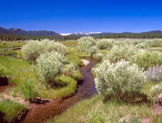
Easy nature walk along a creek with mountains on the horizon and a good chance of spotting wildlife.
Easy Hiking
- Distance
- 2.5 km
- Ascent
- 22 m
- Descent
- 22 m
Access East Ridge from Tahoe Zephyr Express
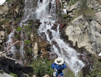
Hiking Moderate
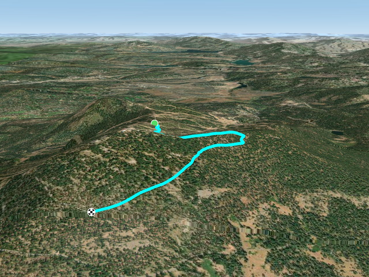
A Bike and Hike rated trail. "Mountain View" is a medium to hard climb on the upper portion of the mountain. There are a few curves at the beginning of the trail but then it connects to a fire road that gives you a gradual elevation gain until you reach "East Ridge" on the upper mountain.
Moderate
Hiking along trails with some uneven terrain and small hills. Small rocks and roots may be present.
5.7 km away
Easy nature walk along a creek with mountains on the horizon and a good chance of spotting wildlife.
Easy Hiking
6.5 km away
A strenuous but gorgeous segment through the Mount Rose Wilderness Area and over the trail’s highest point, Relay Peak (10,338 ft).
Difficult Hiking
9 km away
Beginning at the lowest elevation point of the Tahoe Rim Trail, this section is the start of a 165-mile journey through the mountains around Lake Tahoe.
Easy Hiking

8 routes · Hiking