7.1 km away
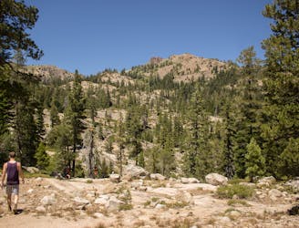
Five Lakes Trail
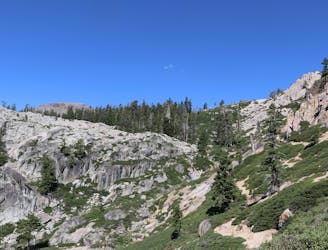
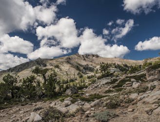
A scenic climb up and out of Alpine Meadows Valley, over a high granite ridge that conceals a beautiful lake-filled basin.
Moderate Hiking
- Distance
- 7 km
- Ascent
- 313 m
- Descent
- 313 m
Beginning at the lowest elevation point of the Tahoe Rim Trail, this section is the start of a 165-mile journey through the mountains around Lake Tahoe.
Hiking Easy

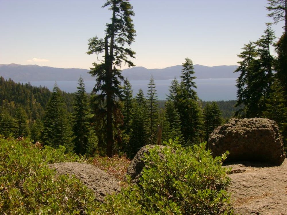
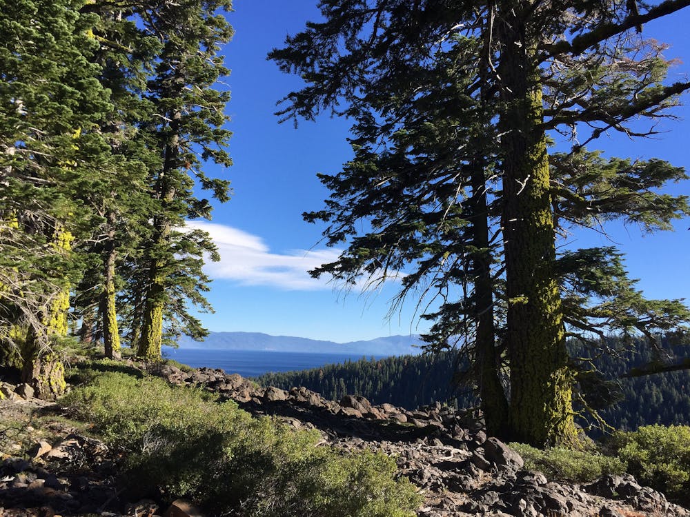
The Tahoe Rim Trail encircles Lake Tahoe in a 165-mile loop. It roughly follows the crest of the mountains that drain into the lake, thereby providing a complete tour of this giant, crystal-blue water body from all angles. In addition to views of the lake, there are of course panoramas of the surrounding Sierra Nevada and Carson mountain ranges, alpine forests, glacial basins, and snowmelt streams.
Along its length, the trail crosses or nears several roads where trailheads are located. These trailheads conveniently divide the loop into distinct segments, allowing for section hikes of day or multi-day length, as well as resupply points for long-distance trekkers. Camping is available at designated campgrounds or dispersed backcountry camping along the trail. Where you start or finish does not necessarily matter, but the sections are typically numbered 1-8 beginning at the trail’s lowest elevation at the Truckee River. Section 8, therefore, ends at the same point to complete the loop.
This first section travels northeast from Tahoe City to Highway 267 at Brockway Summit. The trailhead is near the lake’s outlet, where the Truckee River begins. Upon leaving town, great views open up almost right away as the trail climbs through patches of trees and clearings of manzanita on the rim of the river canyon. When the trail turns away from the canyon, it climbs steadily among slopes of old cinder cone volcanoes and solidified lava flows, dotted with greenery and flanked by conifer forest. The trail continues through rolling terrain, in and out of shady groves and flowery meadows, reaching an overlook of Lake Tahoe at Lava Cliffs, then passing the calm water of Watson Lake en route to the road at Brockway Summit.
This 20-mile section provides a friendly introduction to the trail. The initial ascent from Tahoe City is somewhat steep, but the elevation gain is not dramatic. The rest consists of short ups and downs with interesting but somewhat subdued scenery—merely a preview of what is to come.
-Written by John Fisch
Sources: https://tahoerimtrail.org/maps-trail-info/ https://tahoerimtrail.org/wp-content/uploads/2017/04/MapBrochTCtoBS.pdf https://en.wikipedia.org/wiki/TahoeRimTrail
Easy
Walking along a well-kept trail that’s mostly flat. No obstacles are present.

The path is on completely flat land and potential injury is limited to falling over.

Away from help but easily accessed.
7.1 km away
A scenic climb up and out of Alpine Meadows Valley, over a high granite ridge that conceals a beautiful lake-filled basin.
Moderate Hiking
8.1 km away
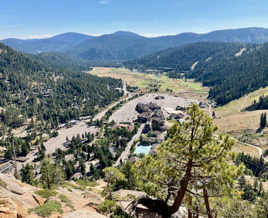
Summer hike from Palisades Tahoe Lodge to High Camp, along a rushing stream and through flower-filled meadows on the mountainside.
Moderate Hiking
8.6 km away
Summer hike in Palisades Tahoe along a cascading creek and steep rock slabs surrounded by granite peaks.
Difficult Hiking

8 routes · Hiking

14 routes · Hiking
5 routes · Hiking