573 m away
Shirley Canyon Trail
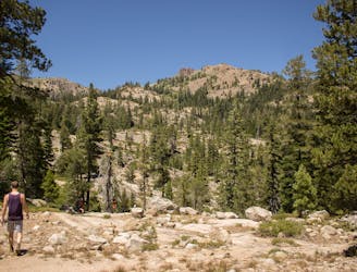
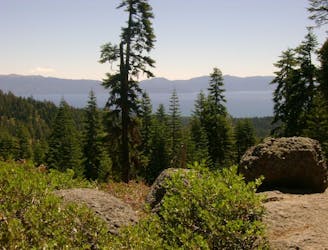
Summer hike in Palisades Tahoe along a cascading creek and steep rock slabs surrounded by granite peaks.
Difficult Hiking
- Distance
- 4.7 km
- Ascent
- 580 m
- Descent
- 4 m
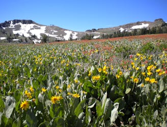
Summer hike from Palisades Tahoe Lodge to High Camp, along a rushing stream and through flower-filled meadows on the mountainside.
Hiking Moderate

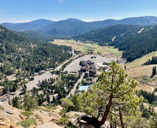
If you’d rather not pay for a tram ride to see Palisades Tahoe and use your own two feet instead, Thunder Mountain Trail is the way to go. It begins from the base area and goes straight up the valley, ending at High Camp, where you can ride the tram downhill for free. Starting near the lodge and the bottom of Exhibition Lift, you’ll first walk past a small pond, then over a wide bridge across a rushing creek. The trail proceeds to trace this creek for a while, and you’ll see countless small waterfalls on your journey uphill. Traversing sunny alpine meadows, you’ll notice many wildflowers in the summertime. Though the occasional tree casts a cool shadow, shade is scarce, and this hike can actually be quite hot, despite the elevation. The good news is that you can dip your feet in the creek, or take advantage of the swimming pool at High Camp once you reach it. The trail eventually leaves the creek and climbs on switchbacks into the mountain’s broad upper basin on the way to High Camp. Once you reach it, you’ll find a number of things to do besides swim, including dining with an unbeatable view over the landscape.
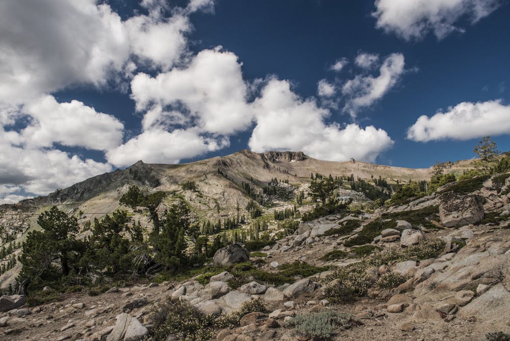
On the upper reaches of Thunder Mountain Trail, you’ll clearly see the cliffs called The Headwall and The Palisades, which form the precipitous face of Squaw Peak. You can extend your hike to reach these cliffs, as well as the summit, by following part of the Squaw Peak and Emigrant Peak Loop. When your legs have had enough, simply return to High Camp and ride the tram down.
Sources: https://squawalpine.com/high-camp-experience https://squawalpine.com/events-things-do/walking-hiking-squaw-valley
Moderate
Hiking along trails with some uneven terrain and small hills. Small rocks and roots may be present.

The trail contains some obstacles such as outcroppings and rock which could cause injury.

Close to help in case of emergency.
573 m away
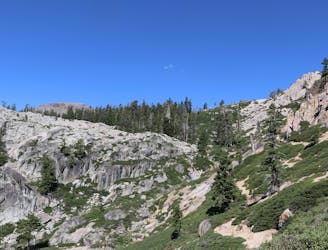
Summer hike in Palisades Tahoe along a cascading creek and steep rock slabs surrounded by granite peaks.
Difficult Hiking
1.9 km away
A scenic climb up and out of Alpine Meadows Valley, over a high granite ridge that conceals a beautiful lake-filled basin.
Moderate Hiking
2.3 km away
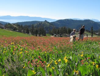
Easy hike from the top of the tram, through flower-filled meadows with a view of Lake Tahoe.
Easy Hiking
2.3 km away
Hike through meadows and along ridgelines to reach the peaks at the top of Palisades Tahoe.
Moderate Hiking
8.1 km away
Beginning at the lowest elevation point of the Tahoe Rim Trail, this section is the start of a 165-mile journey through the mountains around Lake Tahoe.
Easy Hiking

8 routes · Hiking

14 routes · Hiking
5 routes · Hiking