
72 routes · Hiking
Miles 485.7-517.6 of the northbound PCT: A highland traverse overlooking the Mojave, then a quick descent to face the desert.
Hiking Moderate

This is the middle segment of California Section E, which in total spans 112 miles from Agua Dulce to Tehachapi Pass. Northbound from Lake Hughes, the PCT enjoys a final hurrah of piney highlands before dropping decidedly downward, and crossing Highway 138 in a flat valley of the Mojave Desert.
From Lake Hughes Road (NB mile 485.7) the PCT makes a determined climb up a sun-exposed mountainside, gaining more than 1000 feet in two miles. Then the gradient lessens, but the uphill continues until the trail surpasses 5000 feet above sea level along a mountain crest. Pine trees and oaks offer some shade at that elevation, though much of the forest burned in a 2020 wildfire. Abundant clearings now provide expansive views to the valleys below.
A jeep road shares this ridgeline, and the trail parallels it closely for much of the way. The road serves a few Forest Service campgrounds which can be used by PCT hikers, though some may still be closed following the fire. Upper Shake Campground (NB mile 493.4) is one of these, and it has a spring. The next is Sawmill Campground (NB mile 498.2), which has a wildlife water tank nearby that hikers may draw from. More of these tanks, known as guzzlers, can be found near the PCT in the next several miles. Check the PCT Water Report for locations and conditions. Aside from the designated campgrounds, good spots for dispersed camping are also easy to find.
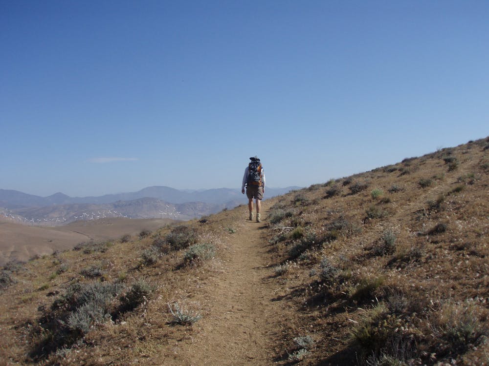
After crossing a highpoint of around 5700 feet, the PCT begins a descent the north, tracing a ridgeline and finally dropping in broad switchbacks. It crosses Pine Canyon road at NB mile 510.9, making one possible start or endpoint to this segment. The proceeding 7 miles northbound are on private land where no camping is allowed. Here the trail meanders through desert hills to reach Highway 138 (517.6), and an overnight option at the Hikertown hostel. It’s a popular resupply even for those not spending the night, as the hostel sells basic supplies and also accepts packages.
Permits: In this part of Angeles National Forest, permits are not required for hiking through or for backcountry camping, but an Adventure Pass is required for parking at trailheads, and campgrounds may charge their own fees. Campfires are not generally allowed, but anyone camping overnight may still need the California Fire Permit for use of a camp stove.
Sources: https://pctmap.net/trail-notes/ https://pctwater.com/
Moderate
Hiking along trails with some uneven terrain and small hills. Small rocks and roots may be present.

The trail contains some obstacles such as outcroppings and rock which could cause injury.
Away from help but easily accessed.
72 routes · Hiking