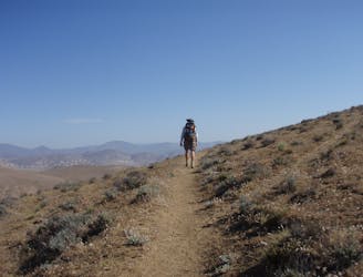
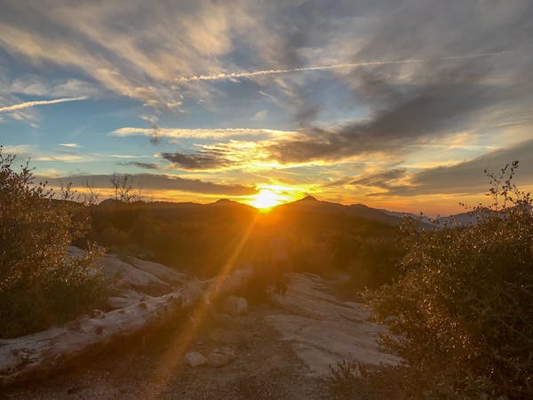
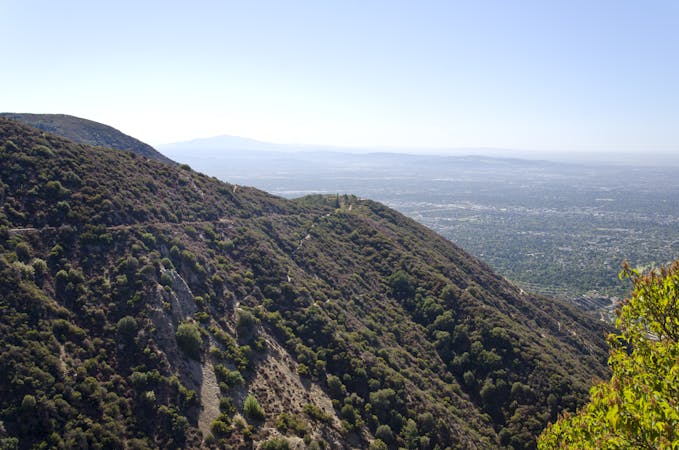
Icehouse Canyon Trail -> Chapman Trail Loop

A stunning loop hike in the Cucamonga Wilderness.
Difficult Hiking
- Distance
- 14 km
- Ascent
- 825 m
- Descent
- 825 m
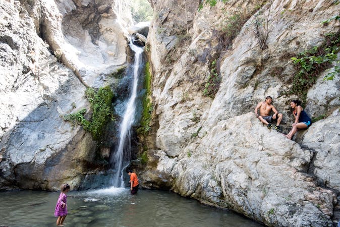
Explore Angeles National Forest with curated guides of the best hiking trails, mountain bike trails, and more. With over 23 3D trail maps in FATMAP, you can easily discover and navigate the best trails in Angeles National Forest.
No matter what your next adventure has in store, you can find a guide on FATMAP to help you plan your next epic trip.
Get a top trail recommendation in Angeles National Forest from one of our 10 guidebooks, or get inspired by the 23 local adventures uploaded by the FATMAP community. Start exploring now!
A stunning loop hike in the Cucamonga Wilderness.
Difficult Hiking
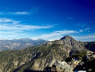
Miles 485.7-517.6 of the northbound PCT: A highland traverse overlooking the Mojave, then a quick descent to face the desert.
Moderate Hiking
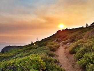
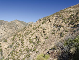
Miles 454.5-485.7 of the northbound PCT: Beginning California Section E, with meandering miles through the desert hills.
Moderate Hiking
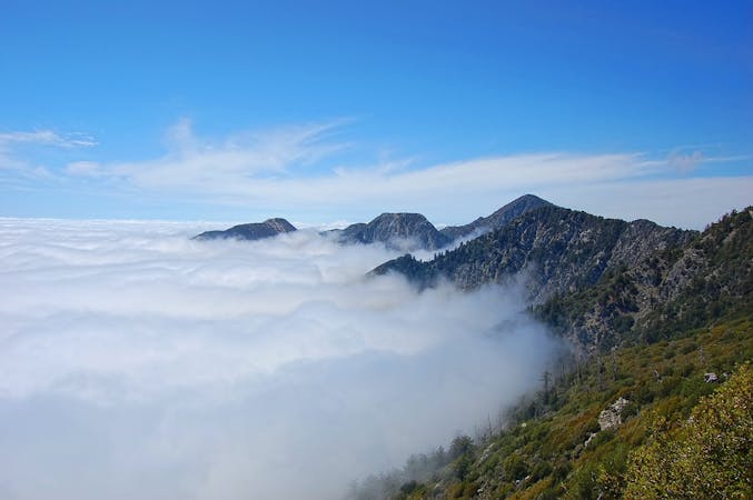
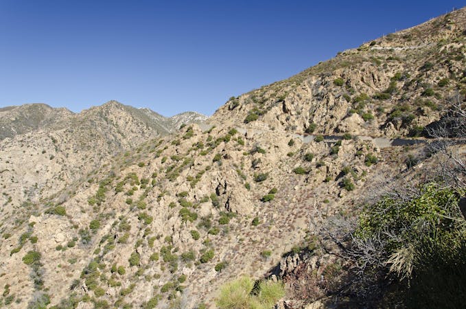
Miles 342-369.4 of the northbound PCT: Tracing a line across the sky above Los Angeles.
Difficult Hiking
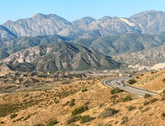
Miles 342-369.4 of the northbound PCT: A long and waterless ascent into the San Gabriel Mountains.
Difficult Hiking
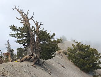
Cross the San Gabriel mountain range in one single push during the Angeles Crest 100.
Extreme Trail Running
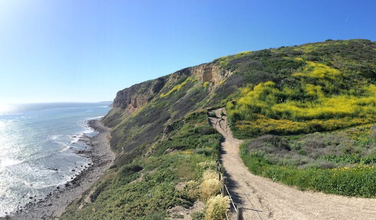
A visually-stunning loop around the highest peak on the San Gabriel front range.
Difficult Mountain Biking
Shuttle run down the final portion of the Gabrielino Trail
Severe Mountain Biking

17 routes · Hiking
13 routes · Mountain Biking
12 routes · Hiking
9 routes · Hiking
10 routes · Hiking
5 routes · Mountain Biking

10 routes · Mountain Biking
3 routes · Trail Running