1 m away
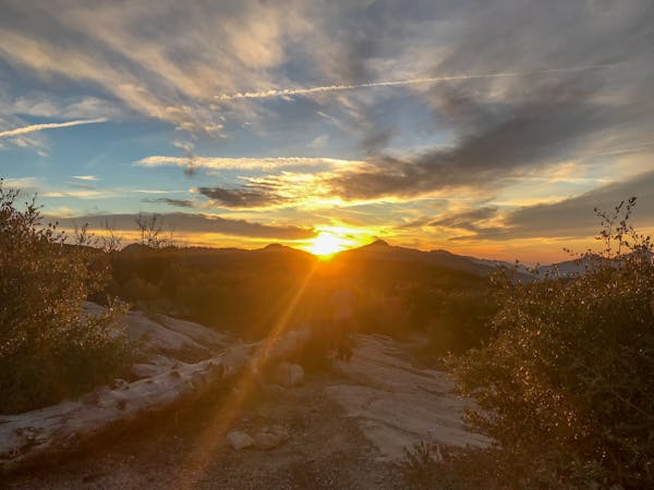
Strawberry Peak Loop
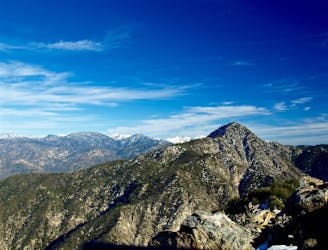
A visually-stunning loop around the highest peak on the San Gabriel front range.
Difficult Mountain Biking
- Distance
- 25 km
- Ascent
- 944 m
- Descent
- 944 m
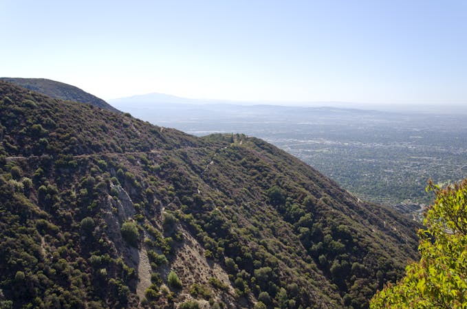
Shuttle run down the final portion of the Gabrielino Trail
Mountain Biking Severe

For many years following a fire, the Gabrielino Trail was closed to through traffic. However, based on recent reports, the trail is now open again in its entirety! According to a recent report by Ben Goyette in January, 2019, “the Gabrielino Trail was recently reopened in its entirety thanks to the efforts of some 100 trail building volunteers.” Hopefully the trail stays open and rideable for many years to come!
However, if you’re uncertain of the latest trail status and don’t want to become stranded in the mountains, checking with the local trail advocacy groups and bike shops on the latest trail conditions is never a bad idea.
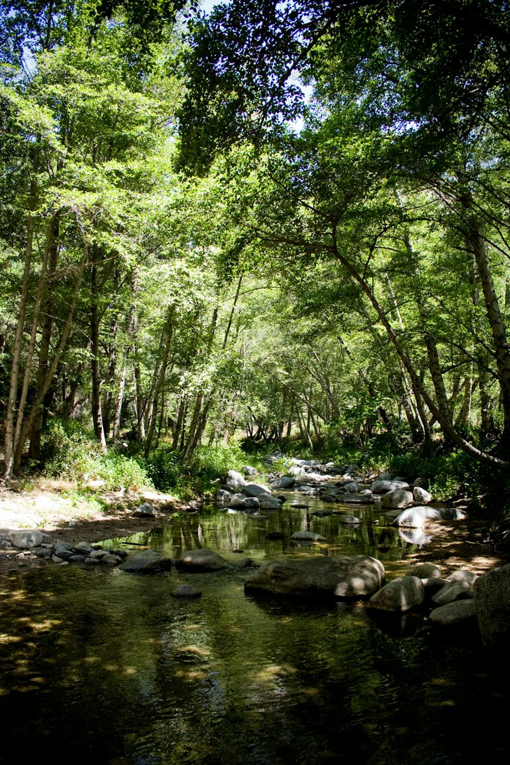
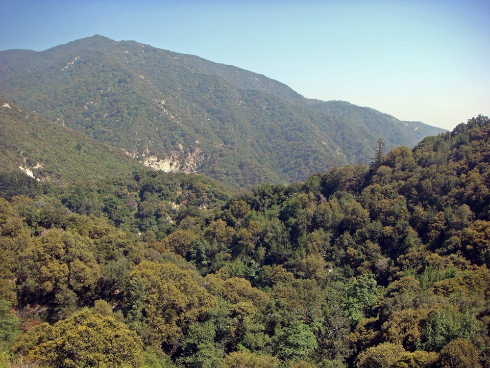
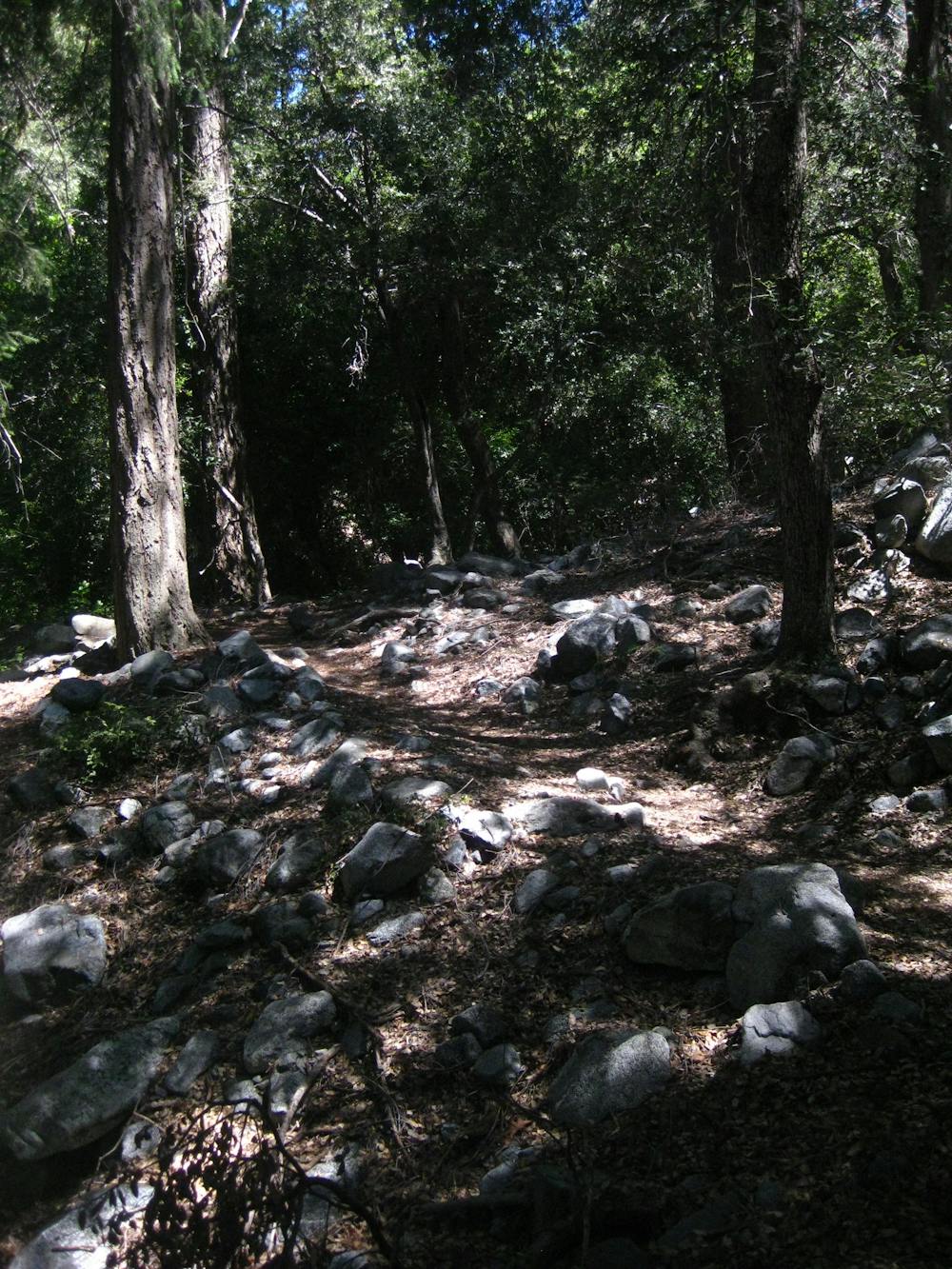
If you do hit the Gabrielino Trail, you’ll get to experience long stretches of seriously exposed benches with a long, steep fall to the downhill side. Some of the exposure is so severe that it could even be death-defying. While yes, going off the edge would be a bad thing, these exposed benches provide jaw-dropping views of the steep-sided San Gabriel mountains all around you! The tradeoff for airy exposure is airy views, so be sure to pack a camera and snap a few shots of the stunning scenery.
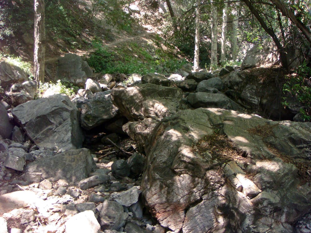
Thankfully, most of the exposed benches are relatively smooth, and most of the ultra-technical rock sections are reserved for the areas lower in the canyon. While the Gabrielino Trail does boast some fast, flowy one-track, certain spots feature burly rock gardens that are guaranteed to challenge most any rider!
Generally speaking, the upper portion of this descent is the most difficult section, and the trail gets easier as you approach the outskirts of the city.
Sources: https://www.singletracks.com/mtb-trails/10-best-mountain-bike-trails-angeles-national-forest/ https://www.youtube.com/watch?v=r2rXpR9D1dE
Severe
Widely variable, narrow trail tread with steeper grades and unavoidable obstacles of 15in/38cm tall or less. Obstacles may include unavoidable bridges 24in/61cm wide or less, large rocks, gravel, difficult root sections, and more. Ideal for advanced-level riders.

Some trail sections are extremely exposed where falling will almost certainly result in serious injury or death.

Little chance of being seen or helped in case of an accident.
1 m away
A visually-stunning loop around the highest peak on the San Gabriel front range.
Difficult Mountain Biking
59 m away

An epic point-to-point route combination with a net elevation loss.
Severe Mountain Biking
6.5 km away

A Mount Lowe descent variant finishing on the tight and twisty Lower Sam Merrill trail.
Severe Mountain Biking
6.5 km away

The LA Area's premiere shuttle run!
Severe Mountain Biking
6.5 km away
A remote, rugged option off of the classic Mount Lowe shuttle run.
Severe Mountain Biking
8.7 km away
One of the most popular loops up into the mountains for Los Angeles-area mountain bikers.
Difficult Mountain Biking
9.2 km away
A steep, technical shuttle run down Mount Wilson of epic proportions.
Severe Mountain Biking
13 routes · Mountain Biking
5 routes · Mountain Biking

10 routes · Mountain Biking