1 m away
Gabrielino Trail Shuttle
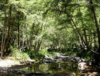
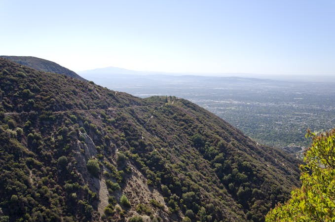
Shuttle run down the final portion of the Gabrielino Trail
Severe Mountain Biking
- Distance
- 18 km
- Ascent
- 201 m
- Descent
- 956 m
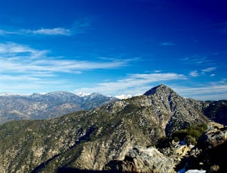
A visually-stunning loop around the highest peak on the San Gabriel front range.
Mountain Biking Difficult

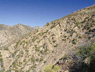
Strawberry Peak is the tallest peak in the front range of the San Gabriels, measuring 6,165 feet tall. This loop ride wraps around the peak on narrow bench cut singletrack situated high on the mountainside.
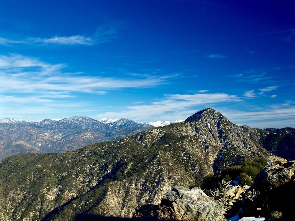
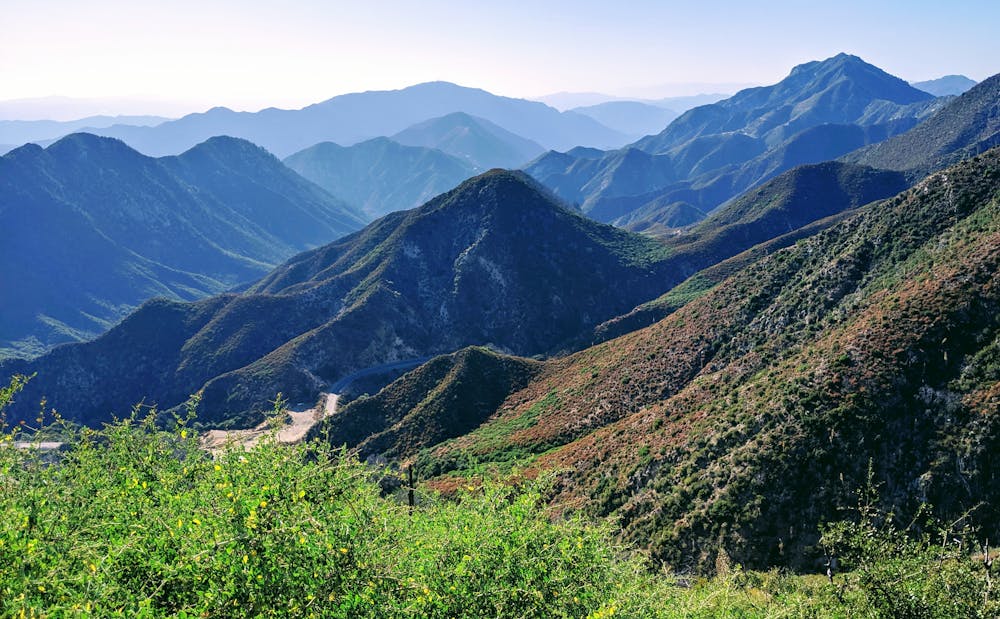
In places, the trail bench is very narrow and exposed, with significant fall danger down the steep mountainside. However, that exposed bench provides stunning views of the massive San Gabriel mountains spreading out in all directions! As you can imagine, this may just be one of the most visually-stunning trails in the Los Angeles area.
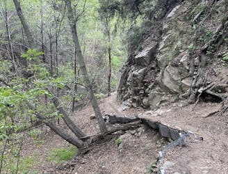
In keeping with So Cal mountain biking, some sections of the trail are fast and buff, and others are chunky and rocky. Some sections of trail feature loose-over-hardpack conditions and even scree and sliding rocks that have fallen down from the steep mountainside.
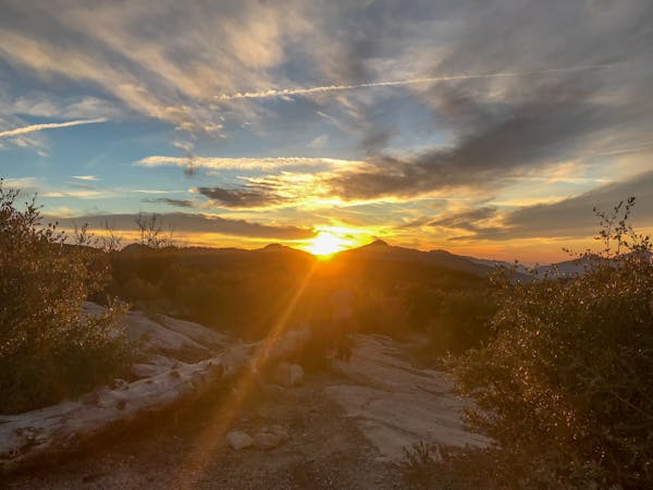
Since this loop is located so high in the mountains, you should always expect inclement weather and plan for the worst. While the weather in sunny Los Angeles may be beautiful as ever, riding at over 5,000 feet is a completely different story. Be sure to check the weather, start early in the day, and bail out of the weather looks like it’s changing.
Finally, the high altitude of this ride means that it has a shorter riding season than many other trails in the region. Strawberry Peak routinely receives snow in the winter, so plan accordingly.
Sources: https://www.singletracks.com/mtb-trails/10-best-mountain-bike-trails-angeles-national-forest/ https://www.youtube.com/watch?v=9aE7Yor0QJc
Difficult
Mostly stable trail tread with some variability featuring larger and more unavoidable obstacles that may include, but not be limited to: bigger stones, roots, steps, and narrow curves. Compared to lower intermediate, technical difficulty is more advanced and grades of slopes are steeper. Ideal for upper intermediate riders.

Some trail sections are extremely exposed where falling will almost certainly result in serious injury or death.

Little chance of being seen or helped in case of an accident.
1 m away
Shuttle run down the final portion of the Gabrielino Trail
Severe Mountain Biking
59 m away
An epic point-to-point route combination with a net elevation loss.
Severe Mountain Biking
6.5 km away

A Mount Lowe descent variant finishing on the tight and twisty Lower Sam Merrill trail.
Severe Mountain Biking
6.5 km away

The LA Area's premiere shuttle run!
Severe Mountain Biking
6.5 km away
A remote, rugged option off of the classic Mount Lowe shuttle run.
Severe Mountain Biking
8.7 km away
One of the most popular loops up into the mountains for Los Angeles-area mountain bikers.
Difficult Mountain Biking
9.2 km away
A steep, technical shuttle run down Mount Wilson of epic proportions.
Severe Mountain Biking
13 routes · Mountain Biking
5 routes · Mountain Biking

10 routes · Mountain Biking