8.6 km away
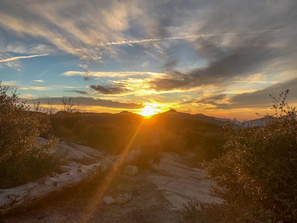
Mount Lowe -> Lower Sam Merrill

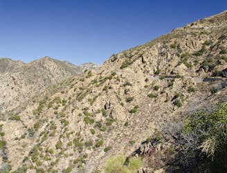
A Mount Lowe descent variant finishing on the tight and twisty Lower Sam Merrill trail.
Severe Mountain Biking
- Distance
- 12 km
- Ascent
- 140 m
- Descent
- 1.1 km
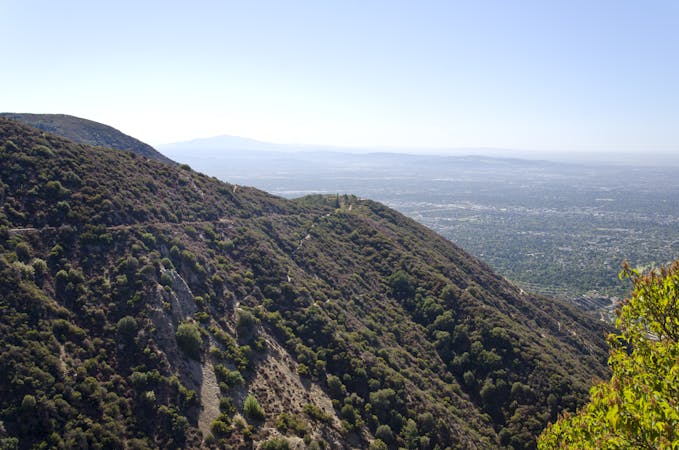
One of the most popular loops up into the mountains for Los Angeles-area mountain bikers.
Mountain Biking Difficult

The El Prieto trail is a true gem for Los Angeles-area mountain bikers. Where many trails in the mountains just outside of LA are extremely steep and nearly unrideable, the pedal up Fern Truck Trail to access the top of El Prieto is steep, yes, but achievable. This creates an absolute gem of a lariat route when looped with the El Prieto descent that can be ridden from the Altadena area.
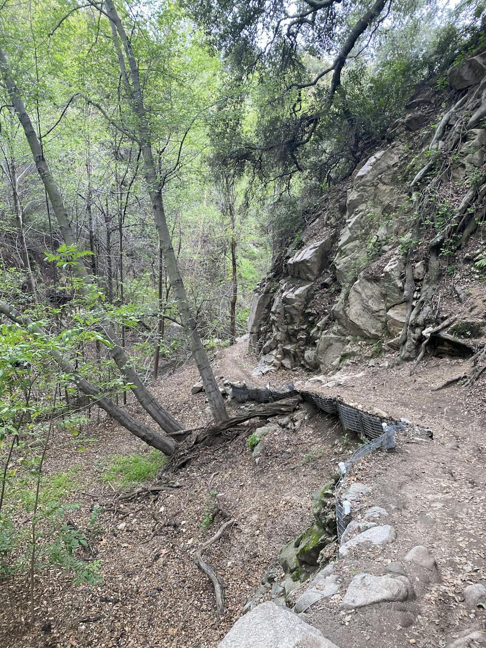
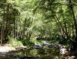
While the ease of access helps boost El Prieto's popularity, unlike some routes in the area the quality of the singletrack lives up to the hype! The El Prieto trail itself drops into an uncharacteristically lush valley, following and crossing a stream that runs out of the mountains and into the city.
Small dams along the way block up the stream, providing interesting trail features, and small rock gardens and drops punctuate the flowy swoop of the singletrack.
The delectable descent is over all too soon, and it's back to the car... unless you decide to just keep riding laps of this absolutely excellent little trail!
Difficult
Mostly stable trail tread with some variability featuring larger and more unavoidable obstacles that may include, but not be limited to: bigger stones, roots, steps, and narrow curves. Compared to lower intermediate, technical difficulty is more advanced and grades of slopes are steeper. Ideal for upper intermediate riders.

The trail contains some obstacles such as outcroppings and rock which could cause injury.
Away from help but easily accessed.
8.6 km away
A Mount Lowe descent variant finishing on the tight and twisty Lower Sam Merrill trail.
Severe Mountain Biking
8.6 km away

The LA Area's premiere shuttle run!
Severe Mountain Biking
8.6 km away
A remote, rugged option off of the classic Mount Lowe shuttle run.
Severe Mountain Biking
8.7 km away
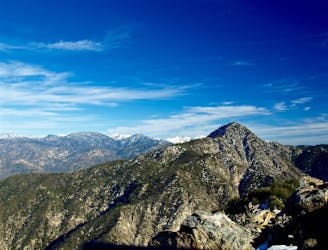
A visually-stunning loop around the highest peak on the San Gabriel front range.
Difficult Mountain Biking
8.7 km away
Shuttle run down the final portion of the Gabrielino Trail
Severe Mountain Biking
8.7 km away

An epic point-to-point route combination with a net elevation loss.
Severe Mountain Biking
13 routes · Mountain Biking
5 routes · Mountain Biking

10 routes · Mountain Biking