
12 routes · Hiking
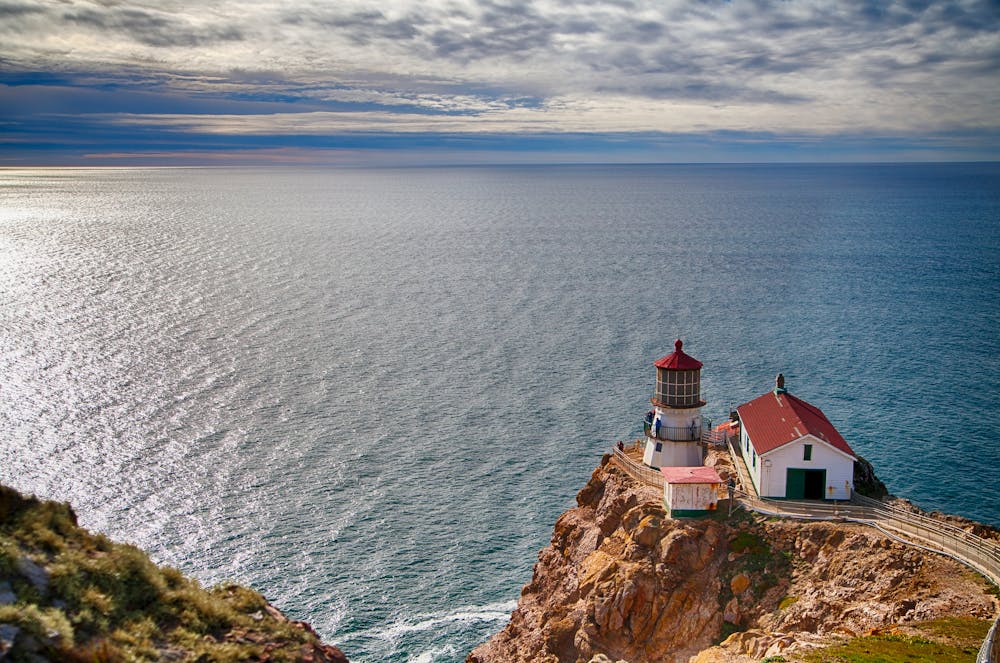
Cliff-top walk on a paved path to a historic lighthouse and whale-watching spot.
Hiking Easy

The Point Reyes lighthouse dates back to 1870 when it warned ships of the rocky Point Reyes Headlands. It is today replaced by an automated light, but the National Park Service maintains the old lighthouse as a historic and scenic landmark. Getting to it requires only a short and slightly uphill walk on a paved path overlooking the ocean, then going down 308 steps. The path is lined in some places with shady cypress trees and in others, you'll enjoy wide-open cliff-top views.
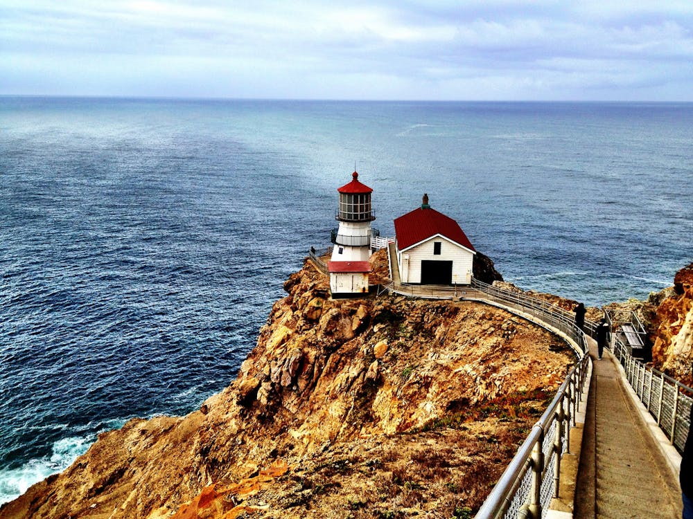
Before you reach the actual lighthouse, you will pass the visitor center, which is well worth a stop. Inside you will find information on the light and maritime history of the area. You can also learn about the birds and sea life you might spot from this trail. Pelicans, albatross, cormorants, and more can be seen on the surrounding cliffs and in the air. Out in the water, you might glimpse seals, sea lions, or whales. Bring binoculars to increase your chances.
The Observation Deck, located at the end of the flat path and just above the stairs, is the best place for spotting sea life. If you don’t feel like taking on the stairs, this deck is still a rewarding turnaround point. On very windy days, the stairs are closed to visitors and the deck is as far as you can go until conditions calm down.
Sources: https://www.nps.gov/pore/planyourvisit/lighthouse.htm
Easy
Walking along a well-kept trail that’s mostly flat. No obstacles are present.

The path is on completely flat land and potential injury is limited to falling over.
Close to help in case of emergency.
12 routes · Hiking

7 routes · Hiking