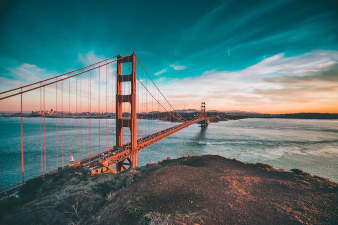
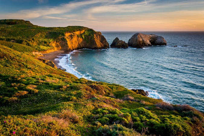
San Francisco Bay Trail

Explore one of the world's most famous coastlines and the vibrant city it is home to
Moderate Hiking
- Distance
- 97 km
- Ascent
- 743 m
- Descent
- 743 m
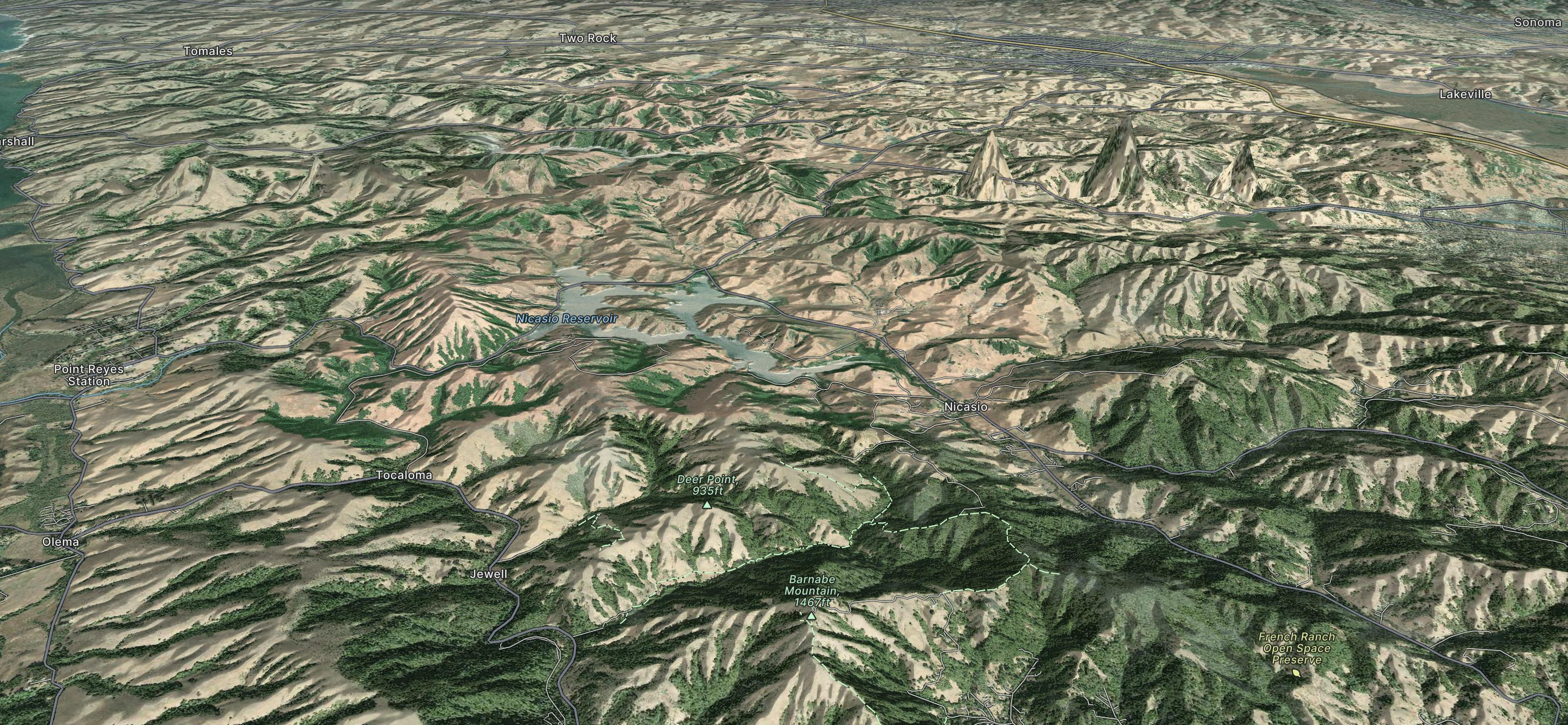
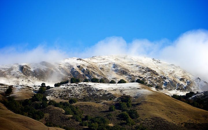
Explore Marin County with curated guides of the best hiking trails, and more. With over 28 3D trail maps in FATMAP, you can easily discover and navigate the best trails in Marin County.
No matter what your next adventure has in store, you can find a guide on FATMAP to help you plan your next epic trip.
Get a top trail recommendation in Marin County from one of our 11 guidebooks, or get inspired by the 28 local adventures uploaded by the FATMAP community. Start exploring now!
Explore one of the world's most famous coastlines and the vibrant city it is home to
Moderate Hiking
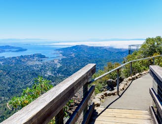
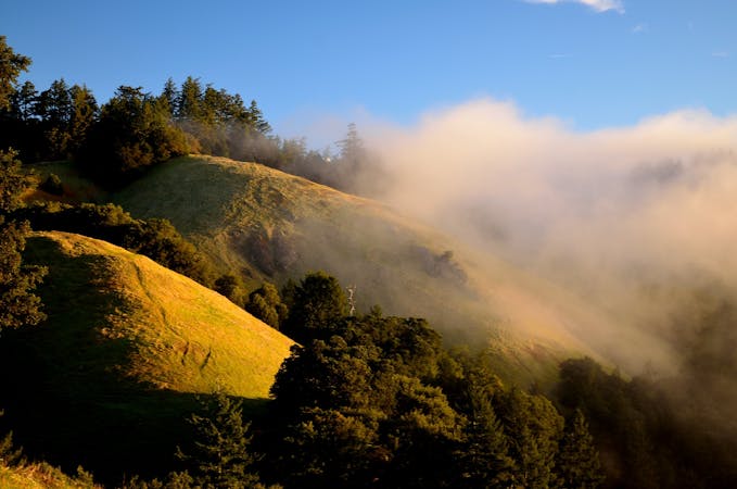
A short, easy loop around the East Peak of Mount Tamalpais that offers panoramic views of the Bay Area and its landmarks.
Easy Hiking
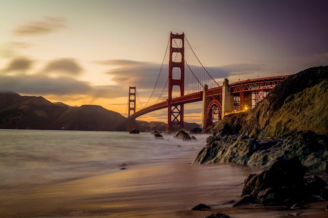
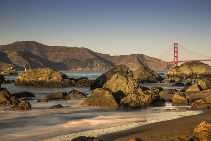
Amazing views of San Francisco and some interesting war relics near the Golden Gate Bridge.
Moderate Hiking
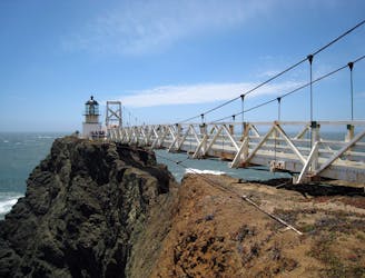
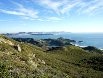
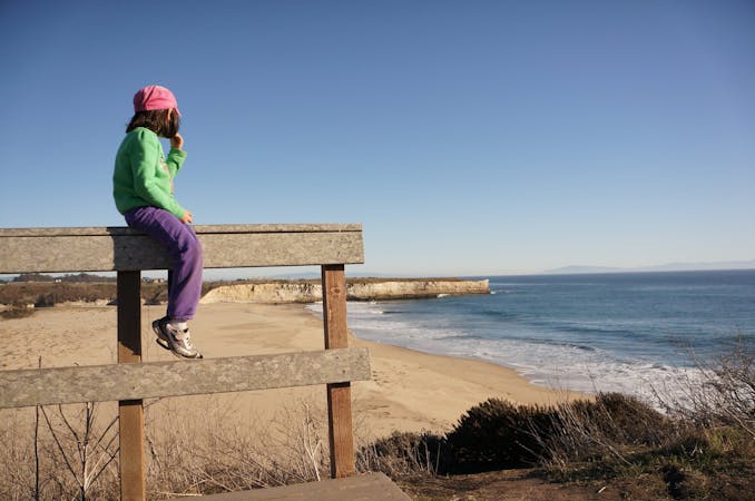
Exciting walk through a tunnel and over a suspension bridge to a lighthouse on the tip of Marin Headlands.
Easy Hiking
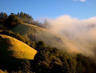
An epic loop on Mount Tamalpais, from sea level at Stinson Beach to the top of East Peak.
Severe Trail Running
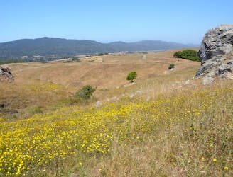
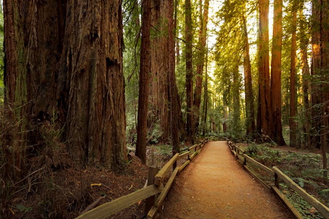
Varied and hilly terrain along the San Andreas Fault, with redwood groves in the valley and wide-open views on the ridge.
Difficult Trail Running
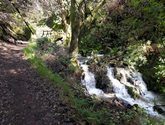
An excellent bang-for-your-buck loop with a variety of terrain and scenery.
Difficult Hiking
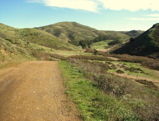
Pedal a gravel path through a verdant valley to a cliff-lined cove beach.
Easy Mountain Biking
12 routes · Hiking
5 routes · Mountain Biking
8 routes · Hiking
7 routes · Hiking
7 routes · Hiking · Road Biking · Trail Running
5 routes · Trail Running
5 routes · Hiking
7 routes · Hiking